Bakery nearby Koholana Bakery
Coronavirus disease (COVID-19) Situation
confirmed cases
672754
deaths
16897
Sri Lanka
Bakery nearby Koholana Bakery
Koholana Bakery
Koholana Road, 60280, Alawwa, Kurunegala, LK Sri Lanka
contacts phone
:
+94
Latitude:
7.3049652
, Longitude:
80.2537037
larger map & directions
read more
nearest Bakery
1.871 km
Koholana Bakery
Kurunegala Road, Alawwa
Bakery
read more
1.926 km
Koholana Bakery
Nelundeniya-Alawwa Road
Bakery
read more
2.748 km
Wijaya Bakers
Kurunegala
Bakery
read more
2.995 km
SNS Foods
Pambadeniya
Bakery
read more
6 km
Nimali Bakers and Grocery
New Colombo Road, Polgahawela
Bakery
read more
6.932 km
Sigithi hotel
Kongashandiya
Bakery
read more
8.546 km
Koholana Bakers
Ambepussa
Bakery
read more
10.407 km
Jayasiri Bakehouse and Hotel
B177, Divulkumbura
Bakery
read more
10.618 km
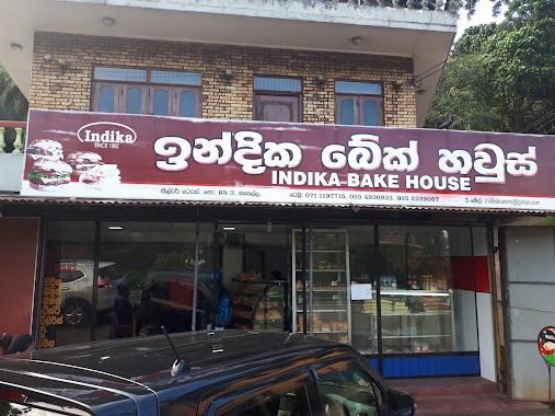
Indika Bake House
Ranwala Junction
Bakery
read more
10.643 km
Ransiri Bakery
B009
Bakery
read more
11.167 km
Salika Pastry Shop
Kegalle
Bakery
read more
11.551 km
Wasana Bakers
Kegalle Main Bus Stand, A1, Kegalle
Bakery
read more
11.699 km
Indika Bake House
Kegalle
Bakery
read more
11.783 km
Priyantha Bake House
25 Bandaranayaka Avenue, Kegalle
Bakery
read more
13.491 km
Kudagammana Bakery
Katugampala-Labuyaya Road, Dambadeniya
Bakery
read more
14.11 km
T & V Bakers
Giriulla
Bakery
read more
14.582 km
Randeniya Bakery
71100 Karandupona - Rambukkana Road, Rambukkana
Bakery
read more
14.582 km
Randeniya Bakery
Sri Lanka
Bakery
read more
14.591 km
Southland Bakers
A1, Karandupana
Bakery
read more
15.009 km
Madawala Lak Rasa Bake House
Rambukkana-Katupitiya Road, Rambukkana
Bakery
read more
15.067 km
Kithsiry Bakery
Wahawa Junction, Rambukkana-Katupitiya Road, Rambukkana
Bakery
read more
15.206 km
Dulari Bakery
Pasyala - Giriulla Road, Mirigama
Bakery
read more
15.248 km
Nihal's Bakery
Horagasmankada - Algama Road, Godawela
Bakery
read more
15.583 km
Neelagiri Cakes
Mirigama
Bakery
read more
18.831 km
U.K.R. BAKE HOUSE
Morontota-Arandara Road
Bakery
read more
📑
all categories
Accounting
Administrative area level 1
Administrative area level 2
Airport
Amusement park
Aquarium
Art gallery
Atm
Bakery
Bank
Bar
Beauty salon
Bicycle store
Book store
Bowling alley
Bus station
Cafe
Campground
Car dealer
Car rental
Car repair
Car wash
Casino
Cemetery
Church
City hall
Clothing store
Colloquial area
Convenience store
Country
Courthouse
Dentist
Department store
Doctor
Electrician
Electronics store
Embassy
Finance
Fire station
Florist
Food
Funeral home
Furniture store
Gas station
General contractor
Grocery or supermarket
Gym
Hair care
Hardware store
Health
Hindu Temple
Home goods store
Hospital
Insurance agency
Intersection
Jewelry store
Laundry
Lawyer
Library
Light rail station
Liquor store
Local government office
Locality
Locksmith
Lodging
Meal delivery
Meal takeaway
Mosque
Movie rental
Movie theater
Moving company
Museum
Natural feature
Neighborhood
Night club
Painter
Park
Parking
Pet store
Pharmacy
Physiotherapist
Place of worship
Plumber
Point of interest
Police
Political
Post office
Premise
Real estate agency
Restaurant
Roofing contractor
Route
Rv park, camping
School
Shoe store
Shopping mall
Spa
Stadium
Storage
Store
Subpremise
Supermarket
Synagogue
Taxi stand
Train station
Transit station
Travel agency
University
Veterinary care
Zoo
administrative area level 3
sublocality level 1
sublocality level 2
↑