places in Beruwala
Sri Lanka
Beruwala
Beruwala
Administrative Region:
Western Province
population:
34 256
calling code:
+94-34
postcode:
12070
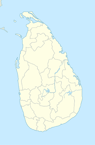
Location on the map of Sri Lanka
Beruwala
Gas station
Lanka Filling Station
A2, Beruwala
Gas station
read more
IOC Fuel Station
Beruwala
Gas station
read more
A. M. Enterprises Filling Station and Vehicle Service Station
Beruwala
Gas station
read more
Hospital
The Natutal & Herbal Garden
Beruwala
Hospital
read more
Life care medical center
Beruwala
Hospital
read more
Dinara Nursing Home
Beruwala
Hospital
read more
Philip Helalth Care
Beruwala
Hospital
read more
Sara Maria Medical Centre
208 A2, Beruwala
Hospital
read more
Haleemas Medicare Beruwala
Beruwala
Hospital
read more
LIFE CARE Medical Center Palace Path
152/2,Sheikh Jamaluddeen road palace path beruwala
Hospital
read more
Medihelp Beruwala
Galle road, Beruwala
Hospital
read more
Philips Medical Center
Beruwala
Hospital
read more
Beruwala Divisional Hospital
Beruwala
Hospital
read more
Abrar Medicare
Beruwala
Hospital
read more
ALL CARE HEALTH CENTRE
Old Road, Beruwala
Hospital
read more
Dinnara Hospital
Beruwala
Hospital
read more
Museum
Swarna Bimbharama Temple
Kiranthidiya - Beruwala Road, Beruwala
Museum
read more
Buddist Temple Beruwala.
Beruwala
Museum
read more
Park
Beach Park
Beruwala
Park
read more
As-Sheikh Abdul Muhees Mawatha
Sri Lanka, Beruwala
Park
read more
Walathara Estate
walathara estate, road,, Beruwala
Park
read more
sublocality level 1
Pinhena
Pinhena
sublocality level 1
read more
Mahagoda
Mahagoda
sublocality level 1
read more
📑
Beruwala all categories
Atm
Bakery
Bank
Bar
Beauty salon
Book store
Bus station
Cafe
Car dealer
Car rental
Car repair
Car wash
Cemetery
Church
Clothing store
Dentist
Electronics store
Finance
Food
Furniture store
Gas station
General contractor
Grocery or supermarket
Hair care
Hardware store
Health
Home goods store
Hospital
Jewelry store
Library
Locality
Lodging
Mosque
Museum
Natural feature
Neighborhood
Night club
Park
Pet store
Pharmacy
Place of worship
Point of interest
Police
Post office
Premise
Restaurant
Route
School
Shoe store
Shopping mall
Stadium
Store
Supermarket
Train station
Transit station
Travel agency
University
sublocality level 1
↑