Cafe nearby Cafe at Lanka Hospitals
Coronavirus disease (COVID-19) Situation
confirmed cases
672754
deaths
16897
Sri Lanka
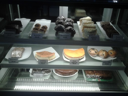
Cafe nearby Cafe at Lanka Hospitals
Cafe at Lanka Hospitals
Kirula, Colombo Sri Lanka
contacts phone
:
+94
Latitude:
6.889533
, Longitude:
79.8750674
read more
nearest Cafe
81 m
TeaTalk
343 Park Road, Colombo
Cafe
read more
335 m
Matara Tea Room
09, Anderson Flats, Park Road, Colombo
Cafe
read more
372 m
Zion Fountain Cafe
4 Vijaya Kumaratunge Mawatha, Colombo
Cafe
read more
459 m
NLDB MILK BAR NAWALA
Colombo
Cafe
read more
471 m
Highland Milk Bar Nawala
45 B307, Colombo
Cafe
read more
546 m
Café La Defence
124 Park Road, Colombo
Cafe
read more
557 m
Tasty Caterers
Fife Road, Colombo
Cafe
read more
605 m
Mr Baker
Kirimandala Mawatha, Colombo
Cafe
read more
630 m
Ice Cream Dhansal
Kirimandala Mawatha, Colombo
Cafe
read more
665 m
Hansa Cafe
24 Fife Road, Colombo
Cafe
read more
692 m
Bellissimo
15 Fife Road, Colombo
Cafe
read more
738 m
Highland Shop
Colombo
Cafe
read more
754 m
German Artisan Bakery
Thimbirigasyaya Place, Colombo
Cafe
read more
757 m
Imraan Shop
475 Ven. Muruththettuwe Ananda Himi Mawatha, Colombo
Cafe
read more
795 m
Nandi's Milk Toffees
501/, 288 1/1 තිඹිරිගස්යාය පාර, කොළඹ
Cafe
read more
888 m
Longden Tea House
Colombo
Cafe
read more
899 m
Highland Milk Outlet
Park Lane, Colombo
Cafe
read more
929 m
Bubble Me Bubble Tea
106 Ven. Muruththettuwe Ananda Himi Mawatha, Colombo
Cafe
read more
948 m
Neelagiri Tea Promotional Centre
61 Isipathana Mawatha, Colombo
Cafe
read more
959 m
Wheelys Café Colombo
100 Jawatte Road, Colombo
Cafe
read more
963 m
Slices_colombo
No.61, Isipathana Mawatha, Colombo - 05
Cafe
read more
1.004 km
Good Life Cafe
3, Sulaiman Terrace, Colombo 5
Cafe
read more
1.011 km
Oz Baker
302 Havelock Road, Colombo
Cafe
read more
1.012 km
The Regent - Hospital Outlet
Narahenpita, Colombo
Cafe
read more
1.014 km
Bombay Sweet City
00600, ශ්රී සම්බුද්ධත්ව ජයන්ති මාවත, කොළඹ
Cafe
read more
📑
all categories
Accounting
Administrative area level 1
Administrative area level 2
Airport
Amusement park
Aquarium
Art gallery
Atm
Bakery
Bank
Bar
Beauty salon
Bicycle store
Book store
Bowling alley
Bus station
Cafe
Campground
Car dealer
Car rental
Car repair
Car wash
Casino
Cemetery
Church
City hall
Clothing store
Colloquial area
Convenience store
Country
Courthouse
Dentist
Department store
Doctor
Electrician
Electronics store
Embassy
Finance
Fire station
Florist
Food
Funeral home
Furniture store
Gas station
General contractor
Grocery or supermarket
Gym
Hair care
Hardware store
Health
Hindu Temple
Home goods store
Hospital
Insurance agency
Intersection
Jewelry store
Laundry
Lawyer
Library
Light rail station
Liquor store
Local government office
Locality
Locksmith
Lodging
Meal delivery
Meal takeaway
Mosque
Movie rental
Movie theater
Moving company
Museum
Natural feature
Neighborhood
Night club
Painter
Park
Parking
Pet store
Pharmacy
Physiotherapist
Place of worship
Plumber
Point of interest
Police
Political
Post office
Premise
Real estate agency
Restaurant
Roofing contractor
Route
Rv park, camping
School
Shoe store
Shopping mall
Spa
Stadium
Storage
Store
Subpremise
Supermarket
Synagogue
Taxi stand
Train station
Transit station
Travel agency
University
Veterinary care
Zoo
administrative area level 3
sublocality level 1
sublocality level 2
↑