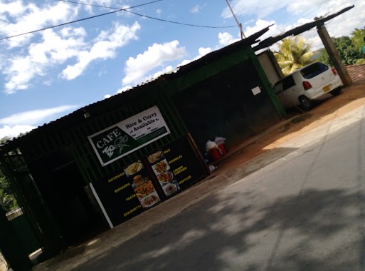
Cafe nearby Qkeez
Coronavirus disease (COVID-19) Situation
confirmed cases
672754
deaths
16897
Sri Lanka
Cafe nearby Qkeez
Qkeez
Kandy, Sri Lanka
contacts phone
:
+94 77 489 9786
Latitude:
7.3029782
, Longitude:
80.6357405
larger map & directions
read more
nearest Cafe
129 m
Masala Cafe
347-377, D S Senanayake Veediya, Kandy
Cafe
read more
311 m
Sri Lanka Kandy Bus Stand
Bus Stand, Kandy
Cafe
read more
385 m
Green Cafe
No.251, D.S. Senanayake Street, Kandy, Kandy
Cafe
read more
401 m
Cafe the Vibe
258/1/4 D S Senanayake Veediya, Kandy
Cafe
read more
405 m
Crust-Eze
258 D S Senanayake Veediya, Kandy
Cafe
read more
556 m
Pastry Corner
No 03, Sri Dalada Thapowana Vihara Road, Kandy
Cafe
read more
568 m
Breeze Beverage & Bakery
No.198 D.S senanayake veediya, Opposite CIB shopping center, Kandy
Cafe
read more
589 m
The Bread Shop (Daya Furnisher)
179, D S Senanayake Veediya, Kandy
Cafe
read more
673 m
A-One
Cross Street, Kandy
Cafe
read more
712 m
Kinivita White House
5/32,, Uplands Road, Kandy
Cafe
read more
746 m
Hi-Pro Soy (Pvt) Ltd.
YMCA Building, East L Senanayake Veediya, Kandy
Cafe
read more
916 m
Royal Bombay Sweet
61, Yatinuwara Veediya, Kandy
Cafe
read more
982 m
T20 Cafe
Kandy
Cafe
read more
1.01 km
Barista - Kandy
Deva Veediya, Kandy
Cafe
read more
1.013 km
Fresh Fruit Drinks
68 Colombo Street, Kandy
Cafe
read more
1.017 km
Deen's milk Bar
Kandy
Cafe
read more
1.06 km
Organic Cafe
No 6, Colombo Street, Kandy
Cafe
read more
1.082 km
Tea Centre
36 Sri Dalada Veediya, Kandy
Cafe
read more
1.125 km
Devon Food Court
11, Sri Dalada Veediya, Kandy
Cafe
read more
1.144 km
ROOTS
30 Sri Dalada Veediya, Kandy
Cafe
read more
1.294 km
P & S Bakers
Kurunegala Road, Kandy
Cafe
read more
1.489 km
Milk Bar
Kandy
Cafe
read more
1.608 km
Doughnuts party shop
Lewalla Road, Kandy
Cafe
read more
1.767 km
Red Spice
no 77, Senpathi Parami Kulathunga Mawatha, Kandy
Cafe
read more
2.11 km
Delight
George E De Silva Mawatha, Kandy
Cafe
read more
📑
all categories
Accounting
Administrative area level 1
Administrative area level 2
Airport
Amusement park
Aquarium
Art gallery
Atm
Bakery
Bank
Bar
Beauty salon
Bicycle store
Book store
Bowling alley
Bus station
Cafe
Campground
Car dealer
Car rental
Car repair
Car wash
Casino
Cemetery
Church
City hall
Clothing store
Colloquial area
Convenience store
Country
Courthouse
Dentist
Department store
Doctor
Electrician
Electronics store
Embassy
Finance
Fire station
Florist
Food
Funeral home
Furniture store
Gas station
General contractor
Grocery or supermarket
Gym
Hair care
Hardware store
Health
Hindu Temple
Home goods store
Hospital
Insurance agency
Intersection
Jewelry store
Laundry
Lawyer
Library
Light rail station
Liquor store
Local government office
Locality
Locksmith
Lodging
Meal delivery
Meal takeaway
Mosque
Movie rental
Movie theater
Moving company
Museum
Natural feature
Neighborhood
Night club
Painter
Park
Parking
Pet store
Pharmacy
Physiotherapist
Place of worship
Plumber
Point of interest
Police
Political
Post office
Premise
Real estate agency
Restaurant
Roofing contractor
Route
Rv park, camping
School
Shoe store
Shopping mall
Spa
Stadium
Storage
Store
Subpremise
Supermarket
Synagogue
Taxi stand
Train station
Transit station
Travel agency
University
Veterinary care
Zoo
administrative area level 3
sublocality level 1
sublocality level 2
↑