Cafe nearby Yasara Bakers
Coronavirus disease (COVID-19) Situation
confirmed cases
672754
deaths
16897
Sri Lanka
Cafe nearby Yasara Bakers
Yasara Bakers
Dompe - Pugoda Road, Gampaha, Western Province, LK Sri Lanka
contacts phone
:
+94
Latitude:
6.9474505
, Longitude:
80.0880763
larger map & directions
read more
nearest Cafe
1.319 km
Kanuketiya Curd & Milk Cafe
Thiththapaththara
Cafe
read more
1.415 km
Nimal tea room
Kapugoda
Cafe
read more
3.156 km
Lion House Hotel
Medalanda
Cafe
read more
3.16 km
Naveen Communication
Medalanda
Cafe
read more
3.718 km
Roti Kade
Colombo - Batticaloa Highway
Cafe
read more
4.249 km
Curry Leaf
Town, Hanwella
Cafe
read more
4.326 km
Hot Pot Foods
Hanwella Bypass Road, Hanwella
Cafe
read more
4.504 km
Namaluwa Foods
Hanwella - Kirindiwela - Urapola Road, Pugoda
Cafe
read more
4.961 km
Yellow Food Hut Restaurant
Hanwella - Kirindiwela - Urapola Road, Pugoda
Cafe
read more
5.088 km
Theruni Fresh Juice Bar And Cake Shop
Hanwella - Kirindiwela - Urapola Road, Pugoda
Cafe
read more
5.559 km
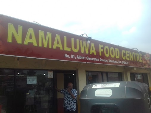
Namaluwa Food Center
Malwana-Dekatana Road
Cafe
read more
9.15 km
Tea Villa
A4 Colombo - Batticaloa Highway, Padukka
Cafe
read more
10.385 km
Amal hotel
Biyagama North
Cafe
read more
11.164 km
Geya Juice Bar and Pastry Shop
Weliweriya South, Weliweriya
Cafe
read more
11.69 km
Reliance
Padukka
Cafe
read more
11.716 km
Thosa Shop
Kaduwela
Cafe
read more
12.315 km
Araliya Cafe
Sri Lanka
Cafe
read more
13.316 km
Sliit View Hotel
Malabe
Cafe
read more
13.408 km
Hot Hot Hotel
Thaldiyawala
Cafe
read more
13.925 km
Kasun Hotel & Grosery
Ratnapura Road, Avissawella
Cafe
read more
14.688 km
Deemantha Hotel
වත්තේ කඩේ, Talduwa
Cafe
read more
14.808 km
Sky Way Designer Kirillawala
Kadawatha
Cafe
read more
15.891 km
Bentara Bakers
Gampaha
Cafe
read more
16.125 km
binoo Cafe & Juice bar...
Gampaha
Cafe
read more
16.812 km
Coffee Talks
Kottawa North
Cafe
read more
📑
all categories
Accounting
Administrative area level 1
Administrative area level 2
Airport
Amusement park
Aquarium
Art gallery
Atm
Bakery
Bank
Bar
Beauty salon
Bicycle store
Book store
Bowling alley
Bus station
Cafe
Campground
Car dealer
Car rental
Car repair
Car wash
Casino
Cemetery
Church
City hall
Clothing store
Colloquial area
Convenience store
Country
Courthouse
Dentist
Department store
Doctor
Electrician
Electronics store
Embassy
Finance
Fire station
Florist
Food
Funeral home
Furniture store
Gas station
General contractor
Grocery or supermarket
Gym
Hair care
Hardware store
Health
Hindu Temple
Home goods store
Hospital
Insurance agency
Intersection
Jewelry store
Laundry
Lawyer
Library
Light rail station
Liquor store
Local government office
Locality
Locksmith
Lodging
Meal delivery
Meal takeaway
Mosque
Movie rental
Movie theater
Moving company
Museum
Natural feature
Neighborhood
Night club
Painter
Park
Parking
Pet store
Pharmacy
Physiotherapist
Place of worship
Plumber
Point of interest
Police
Political
Post office
Premise
Real estate agency
Restaurant
Roofing contractor
Route
Rv park, camping
School
Shoe store
Shopping mall
Spa
Stadium
Storage
Store
Subpremise
Supermarket
Synagogue
Taxi stand
Train station
Transit station
Travel agency
University
Veterinary care
Zoo
administrative area level 3
sublocality level 1
sublocality level 2
↑