Cemetery nearby Kegalle Cemetery
Coronavirus disease (COVID-19) Situation
confirmed cases
672754
deaths
16897
Sri Lanka
Cemetery nearby Kegalle Cemetery
Kegalle Cemetery
Kegalle Bypass Road, Kegalle, Kegalle, LK Sri Lanka
contacts phone
:
+94
Latitude:
7.2488858
, Longitude:
80.337064
larger map & directions
read more
nearest Cemetery
33 m
cemetery
Kegalle
Cemetery
read more
34 m
Urban Council Cemetery
Kegalle
Cemetery
read more
352 m
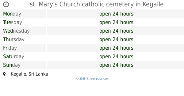
st. Mary's Church catholic cemetery
Kegalle
Cemetery
read more
1.723 km
Ketalawala Cemetery
Sri Lanka
Cemetery
read more
3.912 km
Cemetery Galigamuwa
Sri Lanka
Cemetery
read more
7.852 km
Naranbedda Cemetery
Naranbedda Road, Rambukkana
Cemetery
read more
9.384 km
Masjidul Bilal Muslim Cemetery
Hurimaluwa
Cemetery
read more
9.709 km
Cemetery
Unnamed Road
Cemetery
read more
9.725 km
Muwapitiya Public Cemetery
Muwapitiya
Cemetery
read more
10.298 km
Rambukkana Muslim Cemetery
Rambukkana
Cemetery
read more
10.301 km
St. Lazarus Church Cemetery
Weganthale Road, Uthuwankanda
Cemetery
read more
11.045 km
Wahawa Cemetery
Rambukkana
Cemetery
read more
12.558 km
Thulhiriya Public Cemetery
Sri Rathanapala Himi Mawatha Road, Thulhiriya
Cemetery
read more
12.959 km
Kansalagamuwa Cemetery
Sri Lanka
Cemetery
read more
13.095 km
Paththampitiya Public Cemetery
Sri Lanka
Cemetery
read more
13.371 km
Girambe Public Cemetery
Kaikole
Cemetery
read more
13.501 km
Kadawetiya Cemetery
Kadawetiya - Kotawella Road, Rambukkana
Cemetery
read more
14.137 km
Bujjamuwa Cemetery
Maha Oya Road
Cemetery
read more
14.477 km
Public Cemetery
Ganthuna
Cemetery
read more
14.679 km
Waduwawa Cemetery
Waduwawa
Cemetery
read more
14.687 km
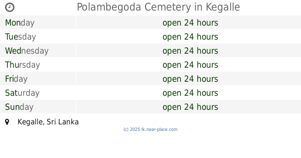
Polambegoda Cemetery
Kegalle
Cemetery
read more
14.711 km
Aranayaka Crematorium
Mawanella-Aranayake-Horawela Road
Cemetery
read more
15.052 km
Karahampitigoda Cemetery
Karahampitigoda Temple Road
Cemetery
read more
15.196 km
Gemunu Welfare Cemetery
Kegalle
Cemetery
read more
18.314 km
Anduwa Watta Cemetery
Maharachchimulla
Cemetery
read more
📑
all categories
Accounting
Administrative area level 1
Administrative area level 2
Airport
Amusement park
Aquarium
Art gallery
Atm
Bakery
Bank
Bar
Beauty salon
Bicycle store
Book store
Bowling alley
Bus station
Cafe
Campground
Car dealer
Car rental
Car repair
Car wash
Casino
Cemetery
Church
City hall
Clothing store
Colloquial area
Convenience store
Country
Courthouse
Dentist
Department store
Doctor
Electrician
Electronics store
Embassy
Finance
Fire station
Florist
Food
Funeral home
Furniture store
Gas station
General contractor
Grocery or supermarket
Gym
Hair care
Hardware store
Health
Hindu Temple
Home goods store
Hospital
Insurance agency
Intersection
Jewelry store
Laundry
Lawyer
Library
Light rail station
Liquor store
Local government office
Locality
Locksmith
Lodging
Meal delivery
Meal takeaway
Mosque
Movie rental
Movie theater
Moving company
Museum
Natural feature
Neighborhood
Night club
Painter
Park
Parking
Pet store
Pharmacy
Physiotherapist
Place of worship
Plumber
Point of interest
Police
Political
Post office
Premise
Real estate agency
Restaurant
Roofing contractor
Route
Rv park, camping
School
Shoe store
Shopping mall
Spa
Stadium
Storage
Store
Subpremise
Supermarket
Synagogue
Taxi stand
Train station
Transit station
Travel agency
University
Veterinary care
Zoo
administrative area level 3
sublocality level 1
sublocality level 2
↑