Church nearby Dagonna Church
Coronavirus disease (COVID-19) Situation
confirmed cases
672754
deaths
16897
Sri Lanka
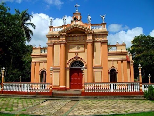
Church nearby Dagonna Church
Dagonna Church
B30, Dagonna, Gampaha, LK Sri Lanka
contacts phone
:
+94
Latitude:
7.2087188
, Longitude:
79.9185687
larger map & directions
read more
nearest Church
2.067 km
St John the Baptist
Miriswatte
Church
read more
2.349 km
Our Lady of Lourdes Shrine
Kimbulapitiya
Church
read more
2.353 km
Our Lady of Lourdes
Kimbulapitiya
Church
read more
2.412 km
Our Lady of Lurdu Church Kimbulapitiya
Kimbulapitiya
Church
read more
2.826 km
Methodist Church - Miriswatta
Negombo - Mirigama Road, Miriswatte
Church
read more
3.233 km
Holy Rosary Church , Andiambalama
Airport Road, Katunayake
Church
read more
3.253 km
Holy Rosary Convent Andiambalama
Airport Road, Katunayake
Church
read more
3.481 km
Infant Jesus Church Demanhandiya
Negombo
Church
read more
3.96 km
St Anthony's church Koongodamulla
Sri Lanka
Church
read more
4.062 km
St. Jude's Church
Gampaha
Church
read more
4.079 km
St.Joseph Church - Kaluwarippuwa
Kaluwarippuwa,, Katana
Church
read more
4.194 km
St Sebastian Church
Jayabima
Church
read more
4.218 km
St.Anthony's Church
Negombo
Church
read more
4.327 km
Our Lady of the Rosary Seminary
290 Kaluwarippuwa West, Katana
Church
read more
4.342 km
Methodist Church Kadawala
Kandawala, Dunagaha
Church
read more
5.006 km
St. Anthony Church
Katana
Church
read more
5.03 km
Chirch Negombo
Negombo
Church
read more
5.03 km
St. Peter's Church
Negombo
Church
read more
5.074 km
Infant Jesus Church Walanagoda
Walanagoda, Kaunayake, Katunayake
Church
read more
5.179 km
Kandawala Church
Negombo
Church
read more
5.209 km
MINUWANGODA KINGDOM HALL OF JEHOVAH'S WITNESSES
Minuwangoda
Church
read more
5.425 km
Our Lady Of Mount Carmel Church Batepola
Negombo - Mirigama Road
Church
read more
5.444 km
Methodist Church Minuwangoda
Minuwangoda
Church
read more
5.582 km
Wegowwa Church
Ekala - Kotadeniyawa Road
Church
read more
6.659 km
St Maria Goretti Church, Athgala
Athgala Kochchilade
Church
read more
📑
all categories
Accounting
Administrative area level 1
Administrative area level 2
Airport
Amusement park
Aquarium
Art gallery
Atm
Bakery
Bank
Bar
Beauty salon
Bicycle store
Book store
Bowling alley
Bus station
Cafe
Campground
Car dealer
Car rental
Car repair
Car wash
Casino
Cemetery
Church
City hall
Clothing store
Colloquial area
Convenience store
Country
Courthouse
Dentist
Department store
Doctor
Electrician
Electronics store
Embassy
Finance
Fire station
Florist
Food
Funeral home
Furniture store
Gas station
General contractor
Grocery or supermarket
Gym
Hair care
Hardware store
Health
Hindu Temple
Home goods store
Hospital
Insurance agency
Intersection
Jewelry store
Laundry
Lawyer
Library
Light rail station
Liquor store
Local government office
Locality
Locksmith
Lodging
Meal delivery
Meal takeaway
Mosque
Movie rental
Movie theater
Moving company
Museum
Natural feature
Neighborhood
Night club
Painter
Park
Parking
Pet store
Pharmacy
Physiotherapist
Place of worship
Plumber
Point of interest
Police
Political
Post office
Premise
Real estate agency
Restaurant
Roofing contractor
Route
Rv park, camping
School
Shoe store
Shopping mall
Spa
Stadium
Storage
Store
Subpremise
Supermarket
Synagogue
Taxi stand
Train station
Transit station
Travel agency
University
Veterinary care
Zoo
administrative area level 3
sublocality level 1
sublocality level 2
↑