Church nearby Kalladi Yutha Kovil
Coronavirus disease (COVID-19) Situation
confirmed cases
672754
deaths
16897
Sri Lanka
Church nearby Kalladi Yutha Kovil
Kalladi Yutha Kovil
Sri Lanka Sri Lanka
contacts phone
:
+94
Latitude:
9.5993311
, Longitude:
80.0527335
read more
nearest Church
4.829 km
Manniththalai St.Sebastian Church
Distrito de Kilinochchi
Church
read more
4.829 km
Manniththalai St.Sebastian Church
Kilinochchi
Church
read more
5.009 km
St. Sebastian Church
Uthayapuram
Church
read more
6.166 km
King of Christ Church
Jaffna
Church
read more
6.255 km
Our Lady of Rosary Church
Jaffna
Church
read more
6.456 km
Yutha Kovil
Athikadu North
Church
read more
6.638 km
St Ann's Church
Columbuthurai Road, Jaffna
Church
read more
7.044 km
St John's Church
Chundukuli
Church
read more
7.135 km
St.sebastian church
Beach Road, Jaffna
Church
read more
7.282 km
Ceylon Pentecostal Mission
Jaffna
Church
read more
7.357 km
Our lady of ava maria jaffna
Bankshall Street, Jaffna
Church
read more
7.485 km
Trumpet Sound Church
Kachcheri Nallur Road, Jaffna
Church
read more
7.858 km
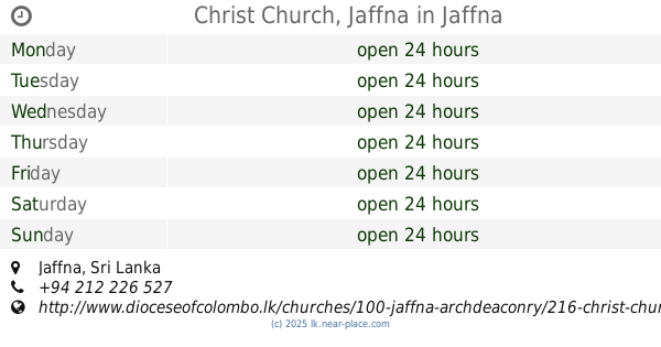
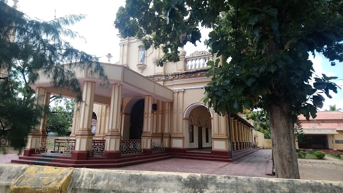
Christ Church, Jaffna
Jaffna
Church
read more
7.92 km
St Benedict's Church ශාන්ත බෙනඩික්ට්ස් පල්ලිය
Jaffna
Church
read more
8.667 km
The Salvation Army Shalom Children Home
A9, Chavakachcheri
Church
read more
8.924 km
St.John's Baptist Church
Hospital Road, Jaffna
Church
read more
9.511 km
Mary church
Jaffna
Church
read more
9.657 km
New Living Flame Church
Kopay, Irupalai, Jaffna
Church
read more
9.697 km
Philip
Allalppidi
Church
read more
13.689 km
Church Chavakachcheri
Chavakachcheri
Church
read more
14.316 km
St Michael Church
Urumpirai east
Church
read more
14.558 km
St.likoryar church
Chavakachcheri
Church
read more
15.158 km
Holy Family Church
Uduvil
Church
read more
15.482 km
Rainbow Church
Singam lane, Uduvil
Church
read more
16.472 km
Church Of South Indian
Araly North-South Road, Araly
Church
read more
📑
all categories
Accounting
Administrative area level 1
Administrative area level 2
Airport
Amusement park
Aquarium
Art gallery
Atm
Bakery
Bank
Bar
Beauty salon
Bicycle store
Book store
Bowling alley
Bus station
Cafe
Campground
Car dealer
Car rental
Car repair
Car wash
Casino
Cemetery
Church
City hall
Clothing store
Colloquial area
Convenience store
Country
Courthouse
Dentist
Department store
Doctor
Electrician
Electronics store
Embassy
Finance
Fire station
Florist
Food
Funeral home
Furniture store
Gas station
General contractor
Grocery or supermarket
Gym
Hair care
Hardware store
Health
Hindu Temple
Home goods store
Hospital
Insurance agency
Intersection
Jewelry store
Laundry
Lawyer
Library
Light rail station
Liquor store
Local government office
Locality
Locksmith
Lodging
Meal delivery
Meal takeaway
Mosque
Movie rental
Movie theater
Moving company
Museum
Natural feature
Neighborhood
Night club
Painter
Park
Parking
Pet store
Pharmacy
Physiotherapist
Place of worship
Plumber
Point of interest
Police
Political
Post office
Premise
Real estate agency
Restaurant
Roofing contractor
Route
Rv park, camping
School
Shoe store
Shopping mall
Spa
Stadium
Storage
Store
Subpremise
Supermarket
Synagogue
Taxi stand
Train station
Transit station
Travel agency
University
Veterinary care
Zoo
administrative area level 3
sublocality level 1
sublocality level 2
↑