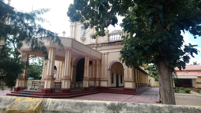
Church nearby Navakakiri Reetaama church
Coronavirus disease (COVID-19) Situation
confirmed cases
672754
deaths
16897
Sri Lanka
Church nearby Navakakiri Reetaama church
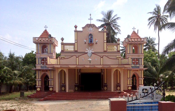
Navakakiri Reetaama church
Jaffna, Sri Lanka
contacts phone
:
+94
Latitude:
9.7562286
, Longitude:
80.0968796
larger map & directions
read more
nearest Church
1.391 km
Good Shepherd Missionary Church
Puttur Road
Church
read more
1.492 km
St-Lukca's Church
Puttur Road
Church
read more
1.894 km
Christian Misonary Church
Jaffna
Church
read more
2.811 km
Oddakapulam Church
Atchuvely Post office, Vallai-Tellippalai-Araly Road
Church
read more
2.811 km
Oddakapulam Church
Atchuvely Post office, B437
Church
read more
3.095 km
Church of South India,Atchuvely
AtchuvelyJaffna
Church
read more
3.131 km
St. Joseph's Church, Thenmoolai, Atchuvely
Vallai-Tellippalai-Araly Road
Church
read more
3.131 km
St. Joseph's Church, Thenmoolai, Atchuvely
B437
Church
read more
3.545 km
Atchuvely St Antony's Church
Atchuvely North, AB32 Vallai-Tellippalai-Araly Road
Church
read more
3.563 km
St . Mary's Church
Jaffna
Church
read more
3.563 km
St . Mary's Church
Dżafna
Church
read more
4.511 km
House of Prayer - Srilanka
Neervely, Jaffna
Church
read more
4.621 km
House of Prayer - Srilanka
Jaffna
Church
read more
5.007 km
The Salvation Army Earlalai Church
Alaveddy Road, Earlalai
Church
read more
5.773 km
Palaly Saint Sebastian Church
AB18, Kankesanturai
Church
read more
8.585 km
New Living Flame Church
Kopay, Irupalai, Jaffna
Church
read more
9.625 km
Holy Family Church
Uduvil
Church
read more
9.679 km
Keerimalai Church
Keerimalai Road, Kankesanturai
Church
read more
9.795 km
The Salvation Army Shalom Children Home
A9, Chavakachcheri
Church
read more
12.801 km
Mary church
Jaffna
Church
read more
13.084 km
St Ann's Church
Columbuthurai Road, Jaffna
Church
read more
13.409 km
St John's Church
Chundukuli
Church
read more
13.778 km
St.John's Baptist Church
Hospital Road, Jaffna
Church
read more
15.418 km
Mathagl Aog Church
Mathagal Road, Pandatharippu
Church
read more
15.548 km
Church Of South Indian
Araly North-South Road, Araly
Church
read more
📑
all categories
Accounting
Administrative area level 1
Administrative area level 2
Airport
Amusement park
Aquarium
Art gallery
Atm
Bakery
Bank
Bar
Beauty salon
Bicycle store
Book store
Bowling alley
Bus station
Cafe
Campground
Car dealer
Car rental
Car repair
Car wash
Casino
Cemetery
Church
City hall
Clothing store
Colloquial area
Convenience store
Country
Courthouse
Dentist
Department store
Doctor
Electrician
Electronics store
Embassy
Finance
Fire station
Florist
Food
Funeral home
Furniture store
Gas station
General contractor
Grocery or supermarket
Gym
Hair care
Hardware store
Health
Hindu Temple
Home goods store
Hospital
Insurance agency
Intersection
Jewelry store
Laundry
Lawyer
Library
Light rail station
Liquor store
Local government office
Locality
Locksmith
Lodging
Meal delivery
Meal takeaway
Mosque
Movie rental
Movie theater
Moving company
Museum
Natural feature
Neighborhood
Night club
Painter
Park
Parking
Pet store
Pharmacy
Physiotherapist
Place of worship
Plumber
Point of interest
Police
Political
Post office
Premise
Real estate agency
Restaurant
Roofing contractor
Route
Rv park, camping
School
Shoe store
Shopping mall
Spa
Stadium
Storage
Store
Subpremise
Supermarket
Synagogue
Taxi stand
Train station
Transit station
Travel agency
University
Veterinary care
Zoo
administrative area level 3
sublocality level 1
sublocality level 2
↑