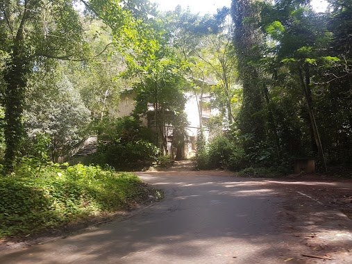
Church nearby Poddalgoda Purana Viharaya
Coronavirus disease (COVID-19) Situation
confirmed cases
672754
deaths
16897
Sri Lanka
Church nearby Poddalgoda Purana Viharaya
Poddalgoda Purana Viharaya
Poddalgoda Road, Kandy, Central Province, LK Sri Lanka
contacts phone
:
+94
Latitude:
7.3278732
, Longitude:
80.7951913
larger map & directions
read more
nearest Church
3.119 km
St Barnaba's Church Anglican
Rangala
Church
read more
5.77 km
Oruthota Gospal Church
5F/2 Gankewala, Rajawalla, Oruthota
Church
read more
6.993 km
St. Paul the Hermit Church
Victoria Golf Club Road, Digana
Church
read more
7.139 km
Voice of Salvation Ministries
Digana
Church
read more
7.888 km
Light house church
Digana
Church
read more
8.789 km
Covenant Life Ministries
Church
read more
9.42 km
Voice of Salvation Ministries
Church
read more
9.675 km
Canaan Fellowship International Church, Kandy
NO. 23, MORAGA PITIYA WATHTHA, DIGANA RENGE, GARDEN, Kengalla, BALLGOLLA, Balagolla
Church
read more
9.723 km
St Mary's Church
Panwila
Church
read more
11.21 km
Gold News Church
Thurunusawigama
Church
read more
11.702 km
Dambarawa Lake Buddhist Temple
Church
read more
12.551 km
The Salvation Army
Jambugahapitiya
Church
read more
14.863 km
Gospel Church
Ilukmodara
Church
read more
14.904 km
Fatima Shrine
A26
Church
read more
14.91 km
Fatima Shrine
Kundasale
Church
read more
17.212 km
St.paul Apostles Church.
Matale
Church
read more
17.564 km
Chiesa di San Paolo
Kandy
Church
read more
17.929 km
Kandy Baptist Church
Sri Dalada Veediya, Kandy
Church
read more
17.951 km
Christ Church
Kandy
Church
read more
18.171 km
Maryon Hill Monastery
Weerakoon Gardens, Kandy
Church
read more
18.282 km
Way Of The Cross Church
Baladaksha Mawatha, Kandy
Church
read more
18.624 km
Harvest Ministry Church. Kandenuwara
Alwatta Post, Kandenuwara, Matale
Church
read more
18.811 km
Assembly Of God, Kandy
No. 224, Rd,, Peradeniya
Church
read more
22.671 km
Univertsity Church විශ්ව විද්යාලයේ පල්ලිය
University of Peradeniya
Church
read more
31.438 km
Church
Peradeniya - Badulla - Chenkaladi Highway, Udapalatha
Church
read more
📑
all categories
Accounting
Administrative area level 1
Administrative area level 2
Airport
Amusement park
Aquarium
Art gallery
Atm
Bakery
Bank
Bar
Beauty salon
Bicycle store
Book store
Bowling alley
Bus station
Cafe
Campground
Car dealer
Car rental
Car repair
Car wash
Casino
Cemetery
Church
City hall
Clothing store
Colloquial area
Convenience store
Country
Courthouse
Dentist
Department store
Doctor
Electrician
Electronics store
Embassy
Finance
Fire station
Florist
Food
Funeral home
Furniture store
Gas station
General contractor
Grocery or supermarket
Gym
Hair care
Hardware store
Health
Hindu Temple
Home goods store
Hospital
Insurance agency
Intersection
Jewelry store
Laundry
Lawyer
Library
Light rail station
Liquor store
Local government office
Locality
Locksmith
Lodging
Meal delivery
Meal takeaway
Mosque
Movie rental
Movie theater
Moving company
Museum
Natural feature
Neighborhood
Night club
Painter
Park
Parking
Pet store
Pharmacy
Physiotherapist
Place of worship
Plumber
Point of interest
Police
Political
Post office
Premise
Real estate agency
Restaurant
Roofing contractor
Route
Rv park, camping
School
Shoe store
Shopping mall
Spa
Stadium
Storage
Store
Subpremise
Supermarket
Synagogue
Taxi stand
Train station
Transit station
Travel agency
University
Veterinary care
Zoo
administrative area level 3
sublocality level 1
sublocality level 2
↑