
no info
🕗 opening times
| Monday | ⚠ | |||||
| Tuesday | ⚠ | |||||
| Wednesday | ⚠ | |||||
| Thursday | ⚠ | |||||
| Friday | ⚠ | |||||
| Saturday | ⚠ | |||||
| Sunday | ⚠ | |||||
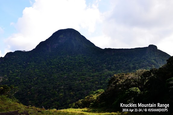
7°27'41.98"N 80°48'3.03"E, Sri Lanka
contacts phone: +94
larger map & directionsLatitude: 7.4616826, Longitude: 80.8007205

Ishan Alahakoon
::Hidden paradise..Love you knuckles..
Nipuna Nirosh UD
::Amazing waterfall.. hard hiking...
Manilka Jayasingha
::Great place to be. Only leave footprints.
Bingusara Pathirana
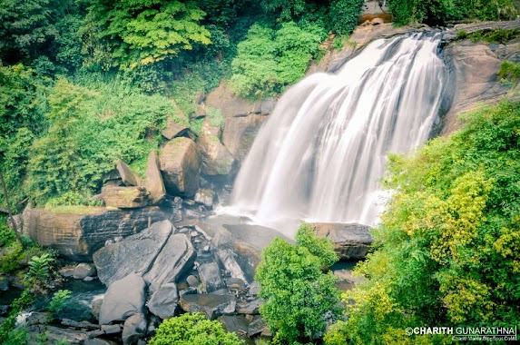
::Excellent place to visit if you're in to Hiking and Trekking. Water fall is situated about 15-16km away from the village Atanwala. So you'll have to spend the night in the jungle (you'll need at least 2 days for the complete journey)! You'll pass a number of cascades along the way. Don't forget to visit the "pahala doovili ella" (Lower doovili falls) too. You can Hire a guide from the Atanwala village. PS : "Pahala Doovili falls" (Lower doovili falls) may be referred by other names. This water fall very rarely runs dry. So even if its the dry season this waterfall will still look amazing!
Milanka Induruwage
::This is one amazing hike through the knuckles forest reserve. Best route is via Atanwala and Walpolamulla to Duvili Eli. It's a set of 10 to 12 waterfalls and probably the best hike in Sri Lanka. It takes a whole day to get to the cave and needs to stay overnight. This is for extreme hikers and needs a lot of physical and mental strength the go through the rough terrain.