Health nearby Senarath Medi Lab
Coronavirus disease (COVID-19) Situation
confirmed cases
672754
deaths
16897
Sri Lanka
Health nearby Senarath Medi Lab
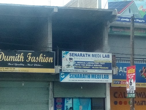
Senarath Medi Lab
Indigahamula, Kadawatha, Sri Lanka
contacts phone
:
+94
Latitude:
7.0267066
, Longitude:
79.980515
larger map & directions
read more
nearest Health
790 m
Ajith Salon
Parakandeniya Road, Eldeniya
Health
read more
946 m
Weerasiri Pharmacy
Health
read more
988 m
Lina Manufacturing (Pvt.) Ltd
Eldeniya
Health
read more
1.686 km
Pahala Imbulgoda Family Health Office
Pahala Imbulgoda
Health
read more
1.774 km
Maternity Home
Ihala Imbulgoda
Health
read more
1.804 km
SCL Pharmacy
A1, Kadawatha
Health
read more
1.807 km
S C I Pharmacy
A1, Kadawatha
Health
read more
2.655 km
Methmuni Arana Meditation Centre ( Therawadha)
Sri Lanka
Health
read more
2.661 km
Methsith Meditation Center
Sri Lanka
Health
read more
2.729 km
Maternity & Child Clinic
Gampaha
Health
read more
2.729 km
Maternity & Child Clinic - Aldeniya
Gampaha
Health
read more
2.762 km
Sanjeewana Medi Lab
10/16 Kadawatha - Ganemulla Road, Kadawatha
Health
read more
2.769 km
Medical Center & Laboratory
Kadawatha
Health
read more
2.781 km
Pharmacy
Kadawatha
Health
read more
2.941 km
Kottayawatta Veda Gedara
82C1 Webada Road
Health
read more
3.116 km
Dilmed Pharmacy & Baby Care
Ihala Karagahamuna, Kadawatha
Health
read more
3.145 km
Sarasavi Pharmacy
644/5, Bandarawatta, කඩවත
Health
read more
3.313 km
Medihelp Medical Laboratory
Kadawatha
Health
read more
3.43 km
Osu Uyana
Kossinna East
Health
read more
3.552 km
Senarath Medi Lab
Ihala Imbulgoda
Health
read more
3.809 km
Kossinna Fertility Clinic
Ganemulla
Health
read more
3.947 km
Kadawatha Osusala
101, A1, Kadawatha
Health
read more
3.966 km
Purasanda Pharmacy
130, A1, Kadawatha
Health
read more
3.985 km
Asiri medical laboratory Kadawatha
191\23-E Jaya Mawatha, Kadawatha
Health
read more
4.502 km
Maternity and Child Clinic
Pubudu Mawatha
Health
read more
📑
all categories
Accounting
Administrative area level 1
Administrative area level 2
Airport
Amusement park
Aquarium
Art gallery
Atm
Bakery
Bank
Bar
Beauty salon
Bicycle store
Book store
Bowling alley
Bus station
Cafe
Campground
Car dealer
Car rental
Car repair
Car wash
Casino
Cemetery
Church
City hall
Clothing store
Colloquial area
Convenience store
Country
Courthouse
Dentist
Department store
Doctor
Electrician
Electronics store
Embassy
Finance
Fire station
Florist
Food
Funeral home
Furniture store
Gas station
General contractor
Grocery or supermarket
Gym
Hair care
Hardware store
Health
Hindu Temple
Home goods store
Hospital
Insurance agency
Intersection
Jewelry store
Laundry
Lawyer
Library
Light rail station
Liquor store
Local government office
Locality
Locksmith
Lodging
Meal delivery
Meal takeaway
Mosque
Movie rental
Movie theater
Moving company
Museum
Natural feature
Neighborhood
Night club
Painter
Park
Parking
Pet store
Pharmacy
Physiotherapist
Place of worship
Plumber
Point of interest
Police
Political
Post office
Premise
Real estate agency
Restaurant
Roofing contractor
Route
Rv park, camping
School
Shoe store
Shopping mall
Spa
Stadium
Storage
Store
Subpremise
Supermarket
Synagogue
Taxi stand
Train station
Transit station
Travel agency
University
Veterinary care
Zoo
administrative area level 3
sublocality level 1
sublocality level 2
↑