Hindu Temple nearby Roddu Vairavar Kovil
Coronavirus disease (COVID-19) Situation
confirmed cases
672754
deaths
16897
Sri Lanka
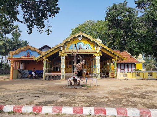
Hindu Temple nearby Roddu Vairavar Kovil
Roddu Vairavar Kovil
Point Pedro, Sri Lanka
contacts phone
:
+94
Latitude:
9.8240418
, Longitude:
80.2337212
larger map & directions
read more
nearest Hindu Temple
161 m
SinnaPillayar Kovil
Point Pedro
Hindu Temple
read more
243 m
Koddu Vaasal Amman Kovil
Point Pedro
Hindu Temple
read more
328 m
Periya Pillaiyar Kovil
AB20, Point Pedro
Hindu Temple
read more
342 m
Koddady Pillayar Temple
Point Pedro
Hindu Temple
read more
347 m
Avollai Pillayar Kovil
Point Pedro
Hindu Temple
read more
408 m
Paruthithurai Sivan Kovil
Thumpalai Road, Point Pedro
Hindu Temple
read more
408 m
Sivan Temple
Point Pedro
Hindu Temple
read more
499 m
ARTHIADYPILLAIYAR TEMPLE
COLLEGE ROAD, ARTHIADY, PULOLYCENTRE(J/409), Point Pedro
Hindu Temple
read more
514 m
Aalady Pillaiyar Kovil
Point Pedro
Hindu Temple
read more
576 m
Vairavar Temple
Point Pedro
Hindu Temple
read more
588 m
Murugan Temple
Point Pedro
Hindu Temple
read more
630 m
Theniyir Pillaiyar Kovil, Theny Road
2nd Cross Street, Point Pedro
Hindu Temple
read more
677 m
Maalandhanai Pillayar Kovil
Point Pedro
Hindu Temple
read more
701 m
Kaaththavaraayar Temple
Point Pedro
Hindu Temple
read more
814 m
Sri Murugan Kovil
Point Pedro
Hindu Temple
read more
1.048 km
கூவில் வீரபத்திரர் கோயில்
Point Pedro
Hindu Temple
read more
1.062 km
Amman Kovil
Point Pedro
Hindu Temple
read more
1.077 km
Veerapathirar Temple
Point Pedro
Hindu Temple
read more
1.102 km
THUMPALAI WEST SRI VARATHA VINAYAGAR THEVASTHANAM
Point Pedro
Hindu Temple
read more
1.117 km
மருதந்தெணி மகமாரி அம்மன் - திருநாவலூர்
AB21, Point Pedro
Hindu Temple
read more
1.117 km
மருதந்தெணி மகமாரி அம்மன்
AB21, Point Pedro
Hindu Temple
read more
1.179 km
Sarayadi Kunvoli Kovil
Unnamed Road, Point Pedro
Hindu Temple
read more
1.363 km
கொட்டடி ஞானவைரவர் ஆலயம்
Point Pedro
Hindu Temple
read more
2.015 km
Manthikai Kannakai Amman Kovil
Point Pedro
Hindu Temple
read more
2.052 km
Narasingar Vairavar Kovil
Nellandai, Thumpalai,, පරුත්තිතුරෛ
Hindu Temple
read more
📑
all categories
Accounting
Administrative area level 1
Administrative area level 2
Airport
Amusement park
Aquarium
Art gallery
Atm
Bakery
Bank
Bar
Beauty salon
Bicycle store
Book store
Bowling alley
Bus station
Cafe
Campground
Car dealer
Car rental
Car repair
Car wash
Casino
Cemetery
Church
City hall
Clothing store
Colloquial area
Convenience store
Country
Courthouse
Dentist
Department store
Doctor
Electrician
Electronics store
Embassy
Finance
Fire station
Florist
Food
Funeral home
Furniture store
Gas station
General contractor
Grocery or supermarket
Gym
Hair care
Hardware store
Health
Hindu Temple
Home goods store
Hospital
Insurance agency
Intersection
Jewelry store
Laundry
Lawyer
Library
Light rail station
Liquor store
Local government office
Locality
Locksmith
Lodging
Meal delivery
Meal takeaway
Mosque
Movie rental
Movie theater
Moving company
Museum
Natural feature
Neighborhood
Night club
Painter
Park
Parking
Pet store
Pharmacy
Physiotherapist
Place of worship
Plumber
Point of interest
Police
Political
Post office
Premise
Real estate agency
Restaurant
Roofing contractor
Route
Rv park, camping
School
Shoe store
Shopping mall
Spa
Stadium
Storage
Store
Subpremise
Supermarket
Synagogue
Taxi stand
Train station
Transit station
Travel agency
University
Veterinary care
Zoo
administrative area level 3
sublocality level 1
sublocality level 2
↑