
no info
🕗 opening times
| Monday | ⚠ | |||||
| Tuesday | ⚠ | |||||
| Wednesday | ⚠ | |||||
| Thursday | ⚠ | |||||
| Friday | ⚠ | |||||
| Saturday | ⚠ | |||||
| Sunday | ⚠ | |||||
B229, Dehiwala-Mount Lavinia, Colombo, LK Sri Lanka
contacts phone: +94
larger map & directionsLatitude: 6.8666097, Longitude: 79.8762448
Pubudu Indika
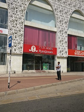
::Hospital Bus stop. busy in day time. A typical one with small shelter.
Gayashan Vidusha
::Crowded place.There is a shelter.You can get 176 Hettiyawatta Karagampitiya (Via Hettiyawatta > Kotahena > Armour Street > Panchikawatte > Maradana > Punchi Borella > Borella > Rajagiriya > Kirimandala Mawatha > Nawala > Nugegoda > Kohuwala > Kalubowila > Dehiwala Zoo > Karagampitiya > Dehiwala) 163 Dehiwala Widesha sewa (Via Dehiwala > Kalubowila > Kohuwala > Nugegoda > Pita Kotte > Ethulkotte > Battaramulla > Koswatta) 183 Nugegoda Panadura ( Via Nugegoda > Kohuwala > Kalubowila > Dehiwala > Mt.Lavinia > Ratmalana > Soysapura > Angulana > Katubadda > Rawatawatta > Moratuwa > Keselwatta > Walana > Panadura) 17 Panadura Kandy 17 Panadura Kurunegala 17 Panadura Nittambuwa
Sarath Wickramasinghe
::This serves a lot to elderly person who go to the Hospital.
Sujitha Viranga
::Have a shelter. Can get 176 (Karagampitiya - Hettiyawatta, Dehiwala - Hettiyawatta), 183 (Panadura - Nugegoda), 163 (Dehiwala - Videshasewa), 17 (Panadura - Kandy) busses from this bus halt.
Layan Sooriyaarachchi
::Following buses stops here 183 Panadura - Nugegoda 163 Dehiwala - Battaramulla 176 Karagampitiya - Hettiyawaththa having a shelter