
sin información
🕗 horarios
| Lunes | ⚠ | |||||
| Martes | ⚠ | |||||
| Miércoles | ⚠ | |||||
| Jueves | ⚠ | |||||
| Viernes | ⚠ | |||||
| Sábado | ⚠ | |||||
| Domingo | ⚠ | |||||
Manigala, Sri Lanka
contactos teléfono: +94
mapa e indicacionesLatitude: 7.5213227, Longitude: 80.7678582

Tharinda Lunuwila
::The trip to the peak of manigala is a good hike with some adventure. The ascent from attenwala to the peak and then the descent back to illukkumbura from the other side of the mountain would take around six seven hours. However make sure you reach the summit before 1 pm since the weather changes dramatically in the afternoon. There were some steep steps along the way especially on the path to illukkumbura. Take some water and energy drinks since you will need them during the hike. Ascending from the illukkumbura side would be much harder due to the above mentioned steep steps. The top of the mountain is a plateau with breath taking views.
Eshan Malimbada
::This place is better to build a camp. Wide area can be seen. Easy to climb the mount because has cut trace. This place is very cool. I am interested
Ravindu dushmantha
::Great place to visit. This is humanless village. So, if someone go there, please you may keep in mind to keep the environment as it is.
Vimukthi Jayabahu
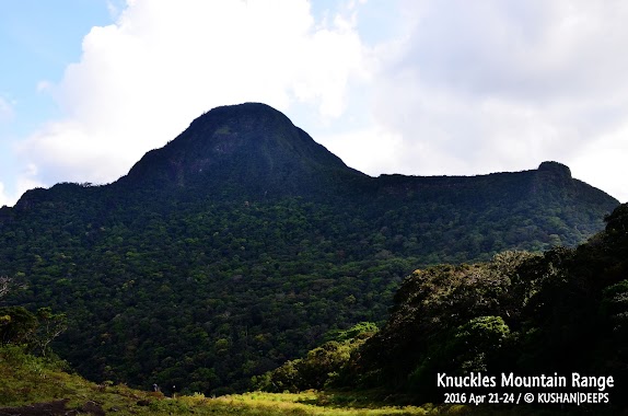
::Not a very hard hike. There is a clear path to top of the mountain. Knuckles mountain range can be seen from top. Villagers are very helpful and you will be able to easily find the way by asking from anyone.
Buddhima Kudagama
::Very beautifull place. Cool fresh and good to relax your mind. Good for hiking and don't destroy the environment.