Park nearby Children's Park
Coronavirus disease (COVID-19) Situation
confirmed cases
672754
deaths
16897
Sri Lanka
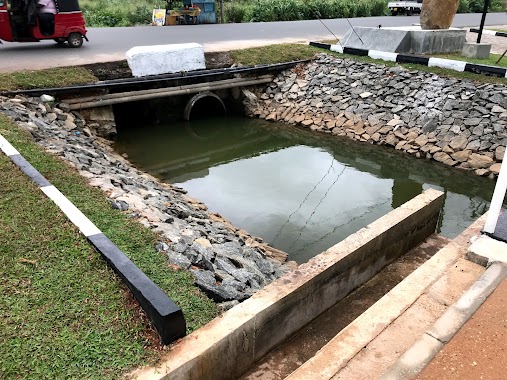
Park nearby Children's Park
Children's Park
Bandaragama, Sri Lanka
contacts phone
:
+94
Latitude:
6.71286
, Longitude:
79.9912568
larger map & directions
read more
nearest Park
2.072 km
Uyanwaththa Man-made Lake / Reservoir
Uyanwaththawewa Road
Park
read more
4.022 km
Owinka Lake Resort
Kawatayagoda Road
Park
read more
4.308 km
Lassana Nwasa
Kalutara
Park
read more
4.874 km
nalins Garden
Tuttiripitiya
Park
read more
5.219 km
Rathmaluyana
Welmilla
Park
read more
7.907 km
陶瓷村
Kahapola Road
Park
read more
9.301 km
Kanrich Sunshine Garden
Horana
Park
read more
9.764 km
Sathsara Uyana Ballapitiya
Ballapitiya
Park
read more
9.777 km
Children's Park
Ballapitiya
Park
read more
9.997 km
Weda Watta Osu Uyana
161/, 66B/1 Kirigampamunuwa Rd, Polgasowita
Park
read more
10.976 km
Sandunpura Ground
Polgasowita
Park
read more
11.082 km
Mattegoda Cemetery
41, Sandunpura, පොල්ගස්ඕවිට
Park
read more
11.516 km
Children's Playground
Polgasowita
Park
read more
14.15 km
Katubedda Walkway, Lake & Parking
Moratuwa
Park
read more
14.441 km
Childrens Park
Kalutara
Park
read more
14.768 km
samadi temple
Piliyandala
Park
read more
15.819 km
Children's Park
Soysapura North, Moratuwa
Park
read more
16.281 km
Kandawala Jogging Track And Lake
Kadawala Jogging Track, Dehiwala-Mount Lavinia
Park
read more
16.631 km
Boralesgamuwa park
Boralesgamuwa East B, Maharagama
Park
read more
16.716 km
Kelimadala Childrens Park
Boralesgamuwa East A, Boralesgamuwa
Park
read more
17.219 km
Ratmalana CGR Ground (Ratmalana United S.C)
Dehiwala-Mount Lavinia
Park
read more
17.458 km
Boralesgamuwa Children's Play Ground
Boralesgamuwa
Park
read more
17.693 km
Sirimal Uyana Childrens Park
Sirimal Uyana, Dehiwala-Mount Lavinia
Park
read more
19.07 km
Suvasavi Ayurvedic Centre
D.J.Wijesiriwardena Mawatha, Dehiwala-Mount Lavinia
Park
read more
19.456 km
M.N GARDEN SERVICES COMPANY
BROADWAY APARTMENT,KAWDANA ROAD, DEHIWELA
Park
read more
📑
all categories
Accounting
Administrative area level 1
Administrative area level 2
Airport
Amusement park
Aquarium
Art gallery
Atm
Bakery
Bank
Bar
Beauty salon
Bicycle store
Book store
Bowling alley
Bus station
Cafe
Campground
Car dealer
Car rental
Car repair
Car wash
Casino
Cemetery
Church
City hall
Clothing store
Colloquial area
Convenience store
Country
Courthouse
Dentist
Department store
Doctor
Electrician
Electronics store
Embassy
Finance
Fire station
Florist
Food
Funeral home
Furniture store
Gas station
General contractor
Grocery or supermarket
Gym
Hair care
Hardware store
Health
Hindu Temple
Home goods store
Hospital
Insurance agency
Intersection
Jewelry store
Laundry
Lawyer
Library
Light rail station
Liquor store
Local government office
Locality
Locksmith
Lodging
Meal delivery
Meal takeaway
Mosque
Movie rental
Movie theater
Moving company
Museum
Natural feature
Neighborhood
Night club
Painter
Park
Parking
Pet store
Pharmacy
Physiotherapist
Place of worship
Plumber
Point of interest
Police
Political
Post office
Premise
Real estate agency
Restaurant
Roofing contractor
Route
Rv park, camping
School
Shoe store
Shopping mall
Spa
Stadium
Storage
Store
Subpremise
Supermarket
Synagogue
Taxi stand
Train station
Transit station
Travel agency
University
Veterinary care
Zoo
administrative area level 3
sublocality level 1
sublocality level 2
↑