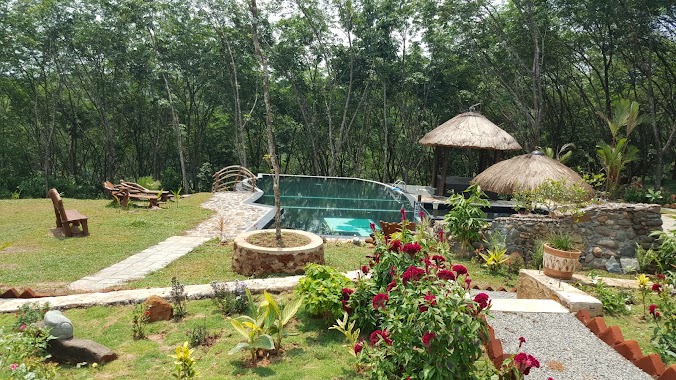
Park nearby surathura plant Nursery
Coronavirus disease (COVID-19) Situation
confirmed cases
672754
deaths
16897
Sri Lanka
Park nearby surathura plant Nursery
surathura plant Nursery
Baduwatta Road, Colombo, Western Province, LK Sri Lanka
contacts phone
:
+94
Latitude:
6.8918069
, Longitude:
80.1932567
larger map & directions
read more
nearest Park
2.03 km
Seethawaka Miracle
No:200/4B Dunkolahena Road Hewainna Avissawella
Park
read more
2.283 km
Seethawaka Wet Zone Botanic Gardens
B426
Park
read more
6.201 km
Thalumpitiya Junction
Sri Lanka
Park
read more
6.816 km
Vasana Island
Sri Lanka
Park
read more
7.98 km
Udagama Waterfall
Udagama
Park
read more
8.866 km
Pamalu Nature Eco Lodge
6.944614, 80.253444, Pamalu Trail
Park
read more
8.997 km
Lotus Resort
Kohiladeniya Estate, Eheliyagoda
Park
read more
9.2 km
Koskanda Forest
Kananpella
Park
read more
9.528 km
Dhahan Waka
Noori Road, Deraniyagala
Park
read more
13.46 km
Hora Forest Reservation
Meepe - Ingiriya Rd, Handapangoda
Park
read more
13.46 km
Hora Forest Reservation
Meepe - Ingiriya Road, Handapangoda
Park
read more
14.574 km
Poragedara Ground
Poregedara
Park
read more
17.944 km
Pussakanda Reserve
Dewala Road
Park
read more
18.287 km
Hapangama Metal Quarry
73,, Keragala-Putupagala Road
Park
read more
18.381 km
Bodinagala Forest Reserve (Dobagaskanda)
Bodhinagala Road
Park
read more
21.851 km
Ranaviru Monument - Biyagama
Walgama West
Park
read more
21.878 km
Kanrich Sunshine Garden
Horana
Park
read more
25.286 km
Mattegoda Cemetery
41, Sandunpura, පොල්ගස්ඕවිට
Park
read more
25.881 km
Children's Park
Ballapitiya
Park
read more
25.924 km
Sathsara Uyana Ballapitiya
Ballapitiya
Park
read more
26.023 km
Children's Playground
Polgasowita
Park
read more
26.791 km
Keselwatta Play Ground
Sri Lanka
Park
read more
28.372 km
Lassana Nwasa
Kalutara
Park
read more
28.675 km
Green Terrace - Ground
Kossinna - Ganemulla Road, Parakandeniya
Park
read more
30.899 km
AhAsA Forever Starts Here
Bemmulla
Park
read more
📑
all categories
Accounting
Administrative area level 1
Administrative area level 2
Airport
Amusement park
Aquarium
Art gallery
Atm
Bakery
Bank
Bar
Beauty salon
Bicycle store
Book store
Bowling alley
Bus station
Cafe
Campground
Car dealer
Car rental
Car repair
Car wash
Casino
Cemetery
Church
City hall
Clothing store
Colloquial area
Convenience store
Country
Courthouse
Dentist
Department store
Doctor
Electrician
Electronics store
Embassy
Finance
Fire station
Florist
Food
Funeral home
Furniture store
Gas station
General contractor
Grocery or supermarket
Gym
Hair care
Hardware store
Health
Hindu Temple
Home goods store
Hospital
Insurance agency
Intersection
Jewelry store
Laundry
Lawyer
Library
Light rail station
Liquor store
Local government office
Locality
Locksmith
Lodging
Meal delivery
Meal takeaway
Mosque
Movie rental
Movie theater
Moving company
Museum
Natural feature
Neighborhood
Night club
Painter
Park
Parking
Pet store
Pharmacy
Physiotherapist
Place of worship
Plumber
Point of interest
Police
Political
Post office
Premise
Real estate agency
Restaurant
Roofing contractor
Route
Rv park, camping
School
Shoe store
Shopping mall
Spa
Stadium
Storage
Store
Subpremise
Supermarket
Synagogue
Taxi stand
Train station
Transit station
Travel agency
University
Veterinary care
Zoo
administrative area level 3
sublocality level 1
sublocality level 2
↑