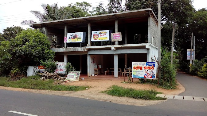
Point of interest nearby Araula Junction
Sri Lanka
Point of interest nearby Araula Junction
Araula Junction
Kandalama, Dambulla, Sri Lanka
contacts phone
:
+94
Latitude:
7.8568638
, Longitude:
80.6879269
larger map & directions
read more
nearest Point of interest
18 m
Upsara Trade Centre
Sri Lanka
Point of interest
read more
657 m
Lavendish Country Resort
Dambulla - Bakamuna - Kalugahawela Rd, Dambulla
Point of interest
read more
1.481 km
Sunrise Ballooning (pvt) ltd
Sisirawatta, Kandalama road, Dambulla
Point of interest
read more
1.583 km
A.Y.S. Gnanam Construction Training Academy
Dambulla
Point of interest
read more
1.613 km
Regalia Hotel
Dambulla
Point of interest
read more
1.633 km
widumaga educational institute
sisirawatta junction, Kandalama Road, Dambulla
Point of interest
read more
1.636 km
Widumaga Adyapana Ayathanaya(widumaga Educational Institute)
sisirawatta junction, Kandalama road, Dambulla
Point of interest
read more
1.667 km
Jayadeepa Furniture
Sisirawatta Road, Dambulla
Point of interest
read more
2.007 km
Wmf Rent Car Service
206/a Kandalama Road, Dambulla
Point of interest
read more
2.101 km
WORSHIP TABERNACLE SRI LANKA
187/4 Moratuwa Road Piliyandala Piliyandala 10300, PILIYANDALA
Point of interest
read more
2.129 km
Yoho Cemetery Road
No.44/9,Cemetery road, Kudapaduwa, Negombo., Negombo
Point of interest
read more
2.142 km
Quick Net Solutions (pvt) Ltd
235c ,Rathnamawatha, Dulammahara,, piliyandala
Point of interest
read more
2.957 km
Kandalama Lake
Kandalama Reservoir,, Dambulla
Point of interest
read more
3.098 km
Gangbee Pvt Ltd
131/B,Kaduwela Road, Athurugiriya
Point of interest
read more
3.098 km
Rio Computer
No 61new economic center nidahas mawatha, kegalle
Point of interest
read more
📑
all categories
Accounting
Administrative area level 1
Administrative area level 2
Airport
Amusement park
Aquarium
Art gallery
Atm
Bakery
Bank
Bar
Beauty salon
Bicycle store
Book store
Bowling alley
Bus station
Cafe
Campground
Car dealer
Car rental
Car repair
Car wash
Casino
Cemetery
Church
City hall
Clothing store
Colloquial area
Convenience store
Country
Courthouse
Dentist
Department store
Doctor
Electrician
Electronics store
Embassy
Finance
Fire station
Florist
Food
Funeral home
Furniture store
Gas station
General contractor
Grocery or supermarket
Gym
Hair care
Hardware store
Health
Hindu Temple
Home goods store
Hospital
Insurance agency
Intersection
Jewelry store
Laundry
Lawyer
Library
Light rail station
Liquor store
Local government office
Locality
Locksmith
Lodging
Meal delivery
Meal takeaway
Mosque
Movie rental
Movie theater
Moving company
Museum
Natural feature
Neighborhood
Night club
Painter
Park
Parking
Pet store
Pharmacy
Physiotherapist
Place of worship
Plumber
Point of interest
Police
Political
Post office
Premise
Real estate agency
Restaurant
Roofing contractor
Route
Rv park, camping
School
Shoe store
Shopping mall
Spa
Stadium
Storage
Store
Subpremise
Supermarket
Synagogue
Taxi stand
Train station
Transit station
Travel agency
University
Veterinary care
Zoo
administrative area level 3
sublocality level 1
sublocality level 2
↑