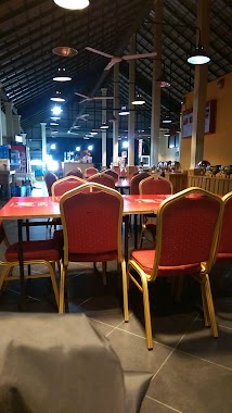
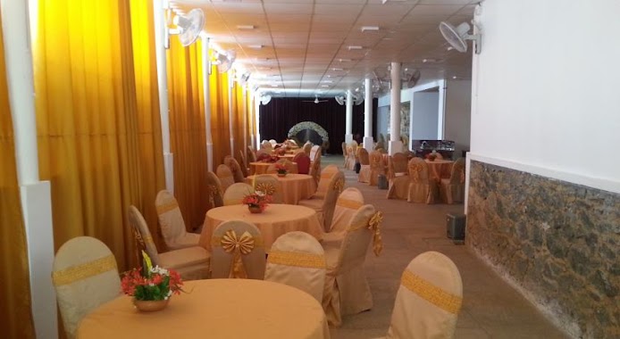
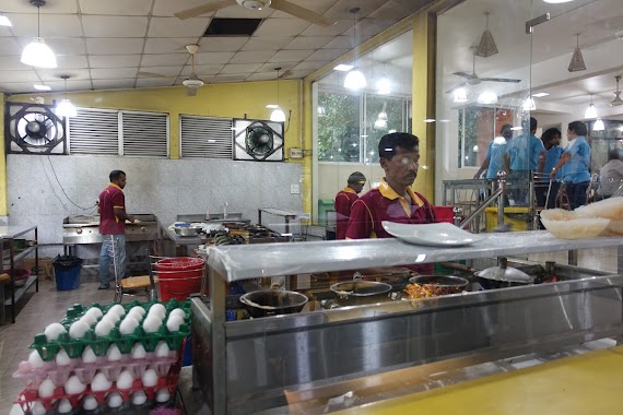
Restaurant nearby Hela Bojun
Coronavirus disease (COVID-19) Situation
confirmed cases
672754
deaths
16897
Sri Lanka
Restaurant nearby Hela Bojun
Hela Bojun
Colombo - Kandy Road, Nelundeniya, Kegalle, LK Sri Lanka
contacts phone
:
+94
Latitude:
7.234318
, Longitude:
80.259914
larger map & directions
read more
nearest Restaurant
217 m
Ruksevana Resturant
76/1, Morawaka - Weradeniya Road, Nelundeniya
Restaurant
read more
325 m
Siyara Inn
A1, Nelundeniya
Restaurant
read more
1.393 km
Currymuch Restaurant
Kegalle
Restaurant
read more
1.853 km
Osman Hotel
Udukumbura -Othnapitiya- Imbulowita Road, Udukumbura
Restaurant
read more
2.674 km
Govijana Hela Bojunhala
Kegalle
Restaurant
read more
2.869 km
Dhasuni Reception Hall
Colombo - Kandy Road
Restaurant
read more
3.322 km
Green Center
Sri Lanka
Restaurant
read more
3.54 km
Baduwaththa Hotel
Ballapana galigamuwa town, Kegalle
Restaurant
read more
4.232 km
Thunthota Rice Kade
Dedigama
Restaurant
read more
4.533 km
Baduwatta Rest
Kegalle
Restaurant
read more
4.682 km
Gamanata Gimana Food & Juice Bar
A1, Ambepussa
Restaurant
read more
4.687 km
Gamanata Gimana Family Restaurant
Kegalle
Restaurant
read more
4.833 km
DTSC Tech
A1
Restaurant
read more
4.839 km
Imsanda Restaurant
Kegalle
Restaurant
read more
4.965 km
Laxapana
Sri Lanka
Restaurant
read more
4.992 km
Jinadasa Thalaguli
Colombo - Kandy Road, Warakapola
Restaurant
read more
5.507 km
Hamdan Hotel
Colombo - Kandy Rd, Warakapola
Restaurant
read more
5.647 km
Awanhala
Kandy Road, Ambepussa
Restaurant
read more
6.21 km
Hima Chinese Food
Warakapola
Restaurant
read more
6.666 km
Gami Rasa Bath kade
Pitagaldeniya
Restaurant
read more
6.746 km
නෙලුම් හෝටලය. Nelum Hotel.
ෙබා් ගහ හන්දිය. bo gaha handiya.
Restaurant
read more
8.366 km
Pizza Hut
Kegalle
Restaurant
read more
10.258 km
Ken Food Center
A1, Kegalle
Restaurant
read more
12.893 km
Fazan Shop
Kotiyakumbura
Restaurant
read more
15.678 km
Yummy Burger
karadupana road, Kegalle - Rambukkana Road, Rambukkana
Restaurant
read more
📑
all categories
Accounting
Administrative area level 1
Administrative area level 2
Airport
Amusement park
Aquarium
Art gallery
Atm
Bakery
Bank
Bar
Beauty salon
Bicycle store
Book store
Bowling alley
Bus station
Cafe
Campground
Car dealer
Car rental
Car repair
Car wash
Casino
Cemetery
Church
City hall
Clothing store
Colloquial area
Convenience store
Country
Courthouse
Dentist
Department store
Doctor
Electrician
Electronics store
Embassy
Finance
Fire station
Florist
Food
Funeral home
Furniture store
Gas station
General contractor
Grocery or supermarket
Gym
Hair care
Hardware store
Health
Hindu Temple
Home goods store
Hospital
Insurance agency
Intersection
Jewelry store
Laundry
Lawyer
Library
Light rail station
Liquor store
Local government office
Locality
Locksmith
Lodging
Meal delivery
Meal takeaway
Mosque
Movie rental
Movie theater
Moving company
Museum
Natural feature
Neighborhood
Night club
Painter
Park
Parking
Pet store
Pharmacy
Physiotherapist
Place of worship
Plumber
Point of interest
Police
Political
Post office
Premise
Real estate agency
Restaurant
Roofing contractor
Route
Rv park, camping
School
Shoe store
Shopping mall
Spa
Stadium
Storage
Store
Subpremise
Supermarket
Synagogue
Taxi stand
Train station
Transit station
Travel agency
University
Veterinary care
Zoo
administrative area level 3
sublocality level 1
sublocality level 2
↑