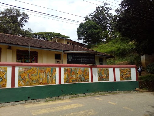
School nearby Godamunna Kanishta Vidyala
Sri Lanka
School nearby Godamunna Kanishta Vidyala
Godamunna Kanishta Vidyala
Godamunna Road, Kandy, Central Province, LK Sri Lanka
contacts phone
:
+94
Latitude:
7.3291399
, Longitude:
80.7822132
larger map & directions
read more
nearest School
836 m
Amupitiya National College
Sri Lanka
School
read more
914 m
Amupitiya Govt. School
Rangala Road
School
read more
1.615 km
Udispattuwa Muslim School
Sri Lanka
School
read more
1.687 km
Kurkohogama Rajamaha Viharaya
Retiyagama Road, Udispattuwa
School
read more
1.69 km
Udispattuwa Muslim School
Udispattuwa
School
read more
1.849 km
Udispattuwa Primary School
Gabbela
School
read more
2.218 km
Rammula Primary School
Rangala Road
School
read more
2.241 km
Sudarmodaya priwena
Retiyagama Road, kurkogogama, Udispattuwa
School
read more
2.257 km
කූරුකොහොගම රජමහ විහාරය
Medadumbara
School
read more
2.357 km
Rangala primary tamil vidyalayam
Medadumbara
School
read more
2.372 km
Rangala primaryTamil maha vidyalayam
Sri Lanka
School
read more
2.42 km
Waradiwela Maha Vidyalaya
Medadumbara
School
read more
2.511 km
Udispattuwa Central College
Sri Lanka
School
read more
2.52 km
UDISPATTUWA CENTRL COLLEG, KANDY
Iskole Muduna
School
read more
2.521 km
udispaththuwa Secondary school
Iskole Muduna
School
read more
2.622 km
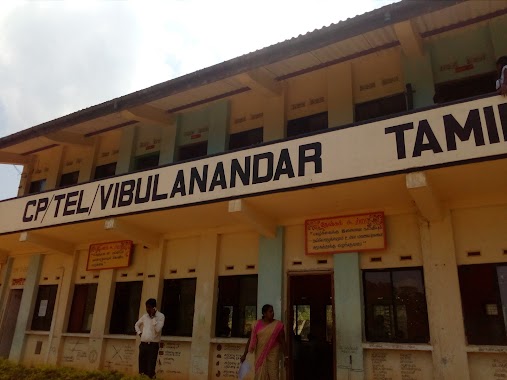
Vibulanandan tamil school
Elagolla
School
read more
2.947 km
Karalliyadda Kanishta Vidyalaya
Medadumbara
School
read more
3.003 km
Samadhi Pre Scool
Teldeniya
School
read more
3.006 km
Rangala Tamil Maha Vidyalaya
Sri Lanka
School
read more
3.014 km
Rangala tamil secondary school
Medadumbara
School
read more
3.018 km
Radiance Academy of computing
No.25/1, New Town, Teldeniya, Karalliyadda
School
read more
3.133 km
Teldeniya National School
Karalliyadda
School
read more
3.166 km
GIDDAWA WARADIWELA PRIMARY SCHOOL
Giddawa Waradiwela
School
read more
3.178 km
Playground
Giddawa Waradiwela
School
read more
3.206 km
Nalanda Budhist College
Wilamuna
School
read more
📑
all categories
Accounting
Administrative area level 1
Administrative area level 2
Airport
Amusement park
Aquarium
Art gallery
Atm
Bakery
Bank
Bar
Beauty salon
Bicycle store
Book store
Bowling alley
Bus station
Cafe
Campground
Car dealer
Car rental
Car repair
Car wash
Casino
Cemetery
Church
City hall
Clothing store
Colloquial area
Convenience store
Country
Courthouse
Dentist
Department store
Doctor
Electrician
Electronics store
Embassy
Finance
Fire station
Florist
Food
Funeral home
Furniture store
Gas station
General contractor
Grocery or supermarket
Gym
Hair care
Hardware store
Health
Hindu Temple
Home goods store
Hospital
Insurance agency
Intersection
Jewelry store
Laundry
Lawyer
Library
Light rail station
Liquor store
Local government office
Locality
Locksmith
Lodging
Meal delivery
Meal takeaway
Mosque
Movie rental
Movie theater
Moving company
Museum
Natural feature
Neighborhood
Night club
Painter
Park
Parking
Pet store
Pharmacy
Physiotherapist
Place of worship
Plumber
Point of interest
Police
Political
Post office
Premise
Real estate agency
Restaurant
Roofing contractor
Route
Rv park, camping
School
Shoe store
Shopping mall
Spa
Stadium
Storage
Store
Subpremise
Supermarket
Synagogue
Taxi stand
Train station
Transit station
Travel agency
University
Veterinary care
Zoo
administrative area level 3
sublocality level 1
sublocality level 2
↑