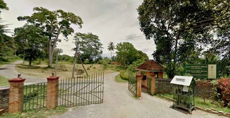
School nearby Maga Naguma
Sri Lanka
School nearby Maga Naguma
Maga Naguma
Kundasale 20168, Sri Lanka
contacts phone
:
+94
Latitude:
7.2830357
, Longitude:
80.6835887
larger map & directions
read more
nearest School
212 m
Hotel School Kandy
Kundasale
School
read more
503 m
Kundasale Farm School
Warapitiya - Malgahamula Road, Kundasale
School
read more
537 m
S.W.R.D.Bandaranayake National School
Kandy-Mahiyangane-Padiyatalawa Highway, Kundasale
School
read more
537 m
S.W.R.D.Bandaranayake National College
A26, Kundasale
School
read more
875 m
PlayWorld Pre School
82/1, Ihala Galmaduwa Road
School
read more
889 m
Kagoshimo Japan Sri Lanka Friendship Preschool
New Digana Road Kundasale
School
read more
958 m
Jayanthi Pre School
Naththarampotha, Kundasale, Kandy
School
read more
1.153 km
NELUM PRE SCHOOL.
Kundasale
School
read more
1.161 km
Kundasale School Of Agriculture
Malgahamula - Kirimetiya Road, Pallekele
School
read more
1.208 km
Gurudeniya Maha Viduhala
Gurudeniya
School
read more
1.259 km
Gurudeniya Maha Vidyalaya
Gurudeniya
School
read more
1.266 km
Vevekanada Tamil School
Pallekele
School
read more
1.285 km
CEDRAT
Ilukmodara
School
read more
1.368 km
Arangala Junior School
Sri Lanka
School
read more
1.473 km
Mahawaththa Maha Vidyalaya, Mahawatta, Kundasale.
Mahawaththa
School
read more
1.502 km
Mahawaththa Maha Vidyalaya
Mahawaththa
School
read more
1.676 km
SRI LANKA SCHOOL OF ANIMAL HUSBANDRY
Kundasale
School
read more
1.985 km
Vidyaloka School
Tennekumbura
School
read more
1.99 km
Vidyaloka Maha Vidyalaya
Tennekumbura
School
read more
2.001 km
Nalanda Buddhist College
Thurunusawigama Road, Pallekele
School
read more
2.108 km
dambawela school
Dambawela Road, Gurudeniya
School
read more
2.168 km
Shri Educational Center
School
read more
2.284 km
Dharmaloka Maha Vidyalaya
Malgahamula - Galaluwa Road
School
read more
2.701 km
Siddhartha Maha Vidyalaya
Ampitiya
School
read more
2.864 km
St. Mary's College
Gangawatakorale
School
read more
📑
all categories
Accounting
Administrative area level 1
Administrative area level 2
Airport
Amusement park
Aquarium
Art gallery
Atm
Bakery
Bank
Bar
Beauty salon
Bicycle store
Book store
Bowling alley
Bus station
Cafe
Campground
Car dealer
Car rental
Car repair
Car wash
Casino
Cemetery
Church
City hall
Clothing store
Colloquial area
Convenience store
Country
Courthouse
Dentist
Department store
Doctor
Electrician
Electronics store
Embassy
Finance
Fire station
Florist
Food
Funeral home
Furniture store
Gas station
General contractor
Grocery or supermarket
Gym
Hair care
Hardware store
Health
Hindu Temple
Home goods store
Hospital
Insurance agency
Intersection
Jewelry store
Laundry
Lawyer
Library
Light rail station
Liquor store
Local government office
Locality
Locksmith
Lodging
Meal delivery
Meal takeaway
Mosque
Movie rental
Movie theater
Moving company
Museum
Natural feature
Neighborhood
Night club
Painter
Park
Parking
Pet store
Pharmacy
Physiotherapist
Place of worship
Plumber
Point of interest
Police
Political
Post office
Premise
Real estate agency
Restaurant
Roofing contractor
Route
Rv park, camping
School
Shoe store
Shopping mall
Spa
Stadium
Storage
Store
Subpremise
Supermarket
Synagogue
Taxi stand
Train station
Transit station
Travel agency
University
Veterinary care
Zoo
administrative area level 3
sublocality level 1
sublocality level 2
↑