School nearby Manipay Memorial English School
Coronavirus disease (COVID-19) Situation
confirmed cases
672754
deaths
16897
Sri Lanka
School nearby Manipay Memorial English School
Manipay Memorial English School
Memorial Lane, Manipay, Jaffna, LK Sri Lanka
contacts phone
:
+94 212 225 221
Latitude:
9.7279332
, Longitude:
79.9996036
larger map & directions
read more
nearest School
755 m
Suthumalai North T.M Vidiyalayam
Inuvil Road
School
read more
784 m
Winsoft Technology
Manipay
School
read more
841 m
Namakal Community Center Preschool
Suthumali Road
School
read more
952 m
Sothy Vembadi Vidyasalai
Manipay
School
read more
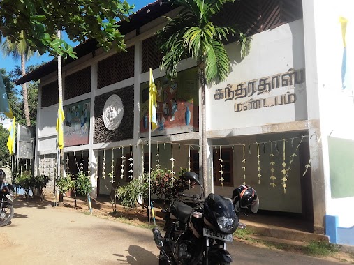
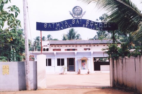
985 m
Sathya sai school
Manipay
School
read more
1.109 km
MURUGAMOORTHY VIDYASALAI
Uduvil
School
read more
1.128 km
Angel Intenational School
Manipay
School
read more
1.195 km
Nelson driving school
AB17, Jaffna
School
read more
1.195 km
Nelson driving school
Jaffna-Manipay-Karainagar Road, Jaffna
School
read more
1.274 km
BBC Early Learning Schools - Manipay 01 Campus
Manipay
School
read more
1.341 km
Addakiri School
Manipay
School
read more
1.483 km
Manipay Hindu College
Manipay
School
read more
1.588 km
Suthumalai Chinmaya Bharathi Maha Vidiyalayam
Thavady - Suthumalai Road, Jaffna
School
read more
1.629 km
Manipay Vivekananda Vidyalayam
Manipay
School
read more
1.635 km
St. Anne's R.C.T.M. School
Sri Lanka
School
read more
1.66 km
VVS
Manipay
School
read more
1.795 km
BBC Early Learning Schools - Manipay 02 Campus
Sankarapillai Road, Manipay, Jaffna
School
read more
1.88 km
J/Navaly Station AMTM School
Manipay
School
read more
2.069 km
Suthumalai G.T.M School
Jaffna
School
read more
2.102 km
Ark school
Uduvil
School
read more
2.205 km
Inuvil Hindu College
Uduvil
School
read more
2.214 km
Navaly Maha Vidyalayam
Sri Lanka
School
read more
2.322 km
J/Navaly St.Peters R.C.T.M School
Kokkuvil-Vaddukkoddai Road
School
read more
2.458 km
Manimēkan Preschool மணிமேகன் முன்பள்ளி
Sandilipay
School
read more
3.011 km
Uduvil Manns Tamil School
Chunnakam
School
read more
📑
all categories
Accounting
Administrative area level 1
Administrative area level 2
Airport
Amusement park
Aquarium
Art gallery
Atm
Bakery
Bank
Bar
Beauty salon
Bicycle store
Book store
Bowling alley
Bus station
Cafe
Campground
Car dealer
Car rental
Car repair
Car wash
Casino
Cemetery
Church
City hall
Clothing store
Colloquial area
Convenience store
Country
Courthouse
Dentist
Department store
Doctor
Electrician
Electronics store
Embassy
Finance
Fire station
Florist
Food
Funeral home
Furniture store
Gas station
General contractor
Grocery or supermarket
Gym
Hair care
Hardware store
Health
Hindu Temple
Home goods store
Hospital
Insurance agency
Intersection
Jewelry store
Laundry
Lawyer
Library
Light rail station
Liquor store
Local government office
Locality
Locksmith
Lodging
Meal delivery
Meal takeaway
Mosque
Movie rental
Movie theater
Moving company
Museum
Natural feature
Neighborhood
Night club
Painter
Park
Parking
Pet store
Pharmacy
Physiotherapist
Place of worship
Plumber
Point of interest
Police
Political
Post office
Premise
Real estate agency
Restaurant
Roofing contractor
Route
Rv park, camping
School
Shoe store
Shopping mall
Spa
Stadium
Storage
Store
Subpremise
Supermarket
Synagogue
Taxi stand
Train station
Transit station
Travel agency
University
Veterinary care
Zoo
administrative area level 3
sublocality level 1
sublocality level 2
↑