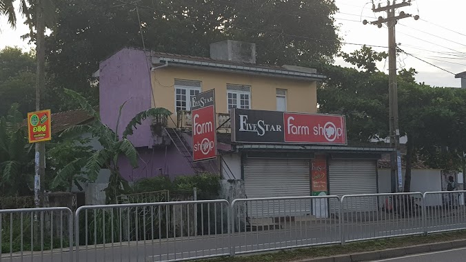
Store nearby Higland Milk Bar
Coronavirus disease (COVID-19) Situation
confirmed cases
672754
deaths
16897
Sri Lanka
Store nearby Higland Milk Bar
Higland Milk Bar
Eluwila, Panadura, Sri Lanka
contacts phone
:
+94
Latitude:
6.7086789
, Longitude:
79.928726
larger map & directions
read more
nearest Store
85 m
Delphi Graphics
65b, Horana Road, පානදුර
Store
read more
105 m
halfmoon Baby
Panadura
Store
read more
275 m
Nugagaha junction
Panadura - Niwdawa Road, Panadura
Store
read more
362 m
Excel Vision
Sri Lanka
Store
read more
382 m
Azeez Book Shop & Communication
No, 07, Horana Road, Eluwila, Panadura, Panadura
Store
read more
414 m
Prasanna Workshop
Wanduramulla West, Panadura
Store
read more
451 m
Prashan Printers
Horana Road, Panadura
Store
read more
505 m
P S Stores
Panadura
Store
read more
582 m
Best Life International Accounts Department
220/2 Moravinna Road, Panadura
Store
read more
640 m
NDS Creations
1321,, Panadura
Store
read more
769 m
Janatharu Communication
Sri Lanka
Store
read more
769 m
Janatharu Communication
129 Horana Road, Panadura
Store
read more
871 m
Induwara Bookshop
Panadura
Store
read more
906 m
Aero - Crafts
3rd cross street, Andaragaha Road, Panadura
Store
read more
1.028 km
Sameera Garage
Panadura
Store
read more
1.274 km
Weston Motors - Authorized Suzuki Motorcycle Sales Dealer
No. 208 A, Horana Road, Wekada, Panadura
Store
read more
1.346 km
Onali Bookshop
Sudharmarama Mawatha, Panadura
Store
read more
1.358 km
Lihini Communication
Sudharmarama Mawatha, Panadura
Store
read more
1.436 km
Five Star Chicken
Panadura
Store
read more
1.589 km
Somarathna Stores
Pamunugama, Panadura
Store
read more
1.767 km
Korean Spa Factory 6
Pattiya South, Panadura
Store
read more
1.948 km
AlienFraggers.Net
NO.72, De Silva Rd,, පානදුර
Store
read more
2.07 km
chathura motors
Uyankele, Panadura
Store
read more
2.079 km
pathma grocery
no 629 galle road panadita
Store
read more
2.081 km
Modarawila Bus Stop
A2, Panadura
Store
read more
📑
all categories
Accounting
Administrative area level 1
Administrative area level 2
Airport
Amusement park
Aquarium
Art gallery
Atm
Bakery
Bank
Bar
Beauty salon
Bicycle store
Book store
Bowling alley
Bus station
Cafe
Campground
Car dealer
Car rental
Car repair
Car wash
Casino
Cemetery
Church
City hall
Clothing store
Colloquial area
Convenience store
Country
Courthouse
Dentist
Department store
Doctor
Electrician
Electronics store
Embassy
Finance
Fire station
Florist
Food
Funeral home
Furniture store
Gas station
General contractor
Grocery or supermarket
Gym
Hair care
Hardware store
Health
Hindu Temple
Home goods store
Hospital
Insurance agency
Intersection
Jewelry store
Laundry
Lawyer
Library
Light rail station
Liquor store
Local government office
Locality
Locksmith
Lodging
Meal delivery
Meal takeaway
Mosque
Movie rental
Movie theater
Moving company
Museum
Natural feature
Neighborhood
Night club
Painter
Park
Parking
Pet store
Pharmacy
Physiotherapist
Place of worship
Plumber
Point of interest
Police
Political
Post office
Premise
Real estate agency
Restaurant
Roofing contractor
Route
Rv park, camping
School
Shoe store
Shopping mall
Spa
Stadium
Storage
Store
Subpremise
Supermarket
Synagogue
Taxi stand
Train station
Transit station
Travel agency
University
Veterinary care
Zoo
administrative area level 3
sublocality level 1
sublocality level 2
↑