Atm nearby Bank of Ceylon
Sri Lanka
Atm nearby Bank of Ceylon
Bank of Ceylon
Bentota, Sri Lanka
contacts phone
:
+94 342 275 283
website:
web.boc.lk
Latitude:
6.4224792
, Longitude:
79.9973988
larger map & directions
read more
nearest Atm
263 m
HNB ATM
201 A2, Bentota
Atm
read more
1.115 km
NDB Bank
267, Galle road, Aluthgama
Atm
read more
1.156 km
Bank of Ceylon Aluthgama Branch
Station Access Road, Aluthgama
Atm
read more
1.176 km
BoC ATM
Aluthgama
Atm
read more
1.264 km
Commercial Bank Aluthgama Branch
No 335,Galle Road, Aluthgama
Atm
read more
1.266 km
Commercial Bank ATM
204 Colombo-Galle-Hambantota-Wellawaya Highway Aluthgama A2, Aluthgama
Atm
read more
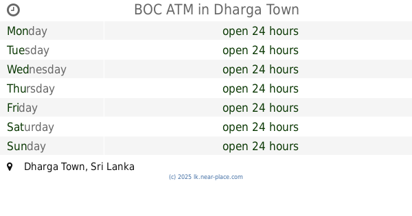
2.739 km
BOC ATM
Dharga Town
Atm
read more
2.881 km
Peoples Bank ATM
Aluthgama - Mathugama Road, Aluthgama
Atm
read more
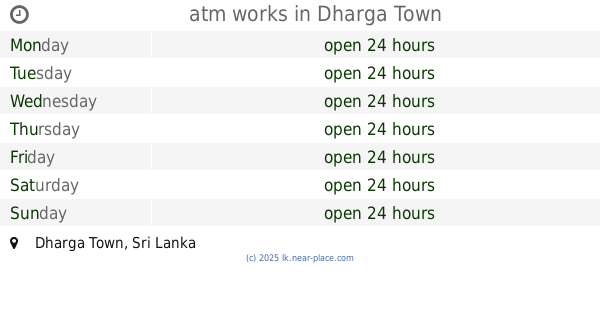
2.935 km
atm works
Dharga Town
Atm
read more
3.956 km
Commercial Bank ATM Point
Dharga Town
Atm
read more
5.818 km
Hatton National Bank ATM
Beruwala
Atm
read more
5.82 km
Hatton National Bank
A2, Beruwala
Atm
read more
5.912 km
Commercial Bank
A2, Beruwala
Atm
read more
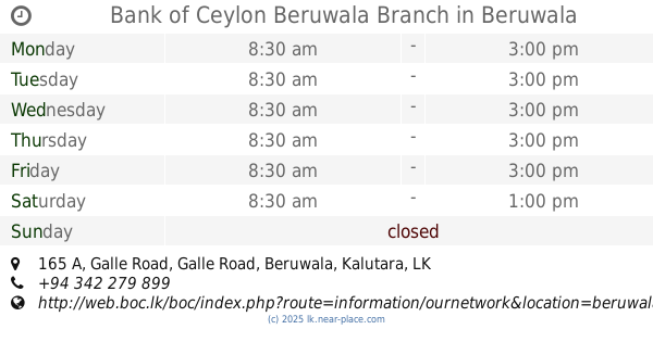
6.014 km
Bank of Ceylon Beruwala Branch
165 A, Galle Road Asian Highway 43, Beruwala
Atm
read more
6.175 km
HNB ATM
Beruwala
Atm
read more
9.116 km
Hatton National Bank ATM
92 A2, Maggona
Atm
read more
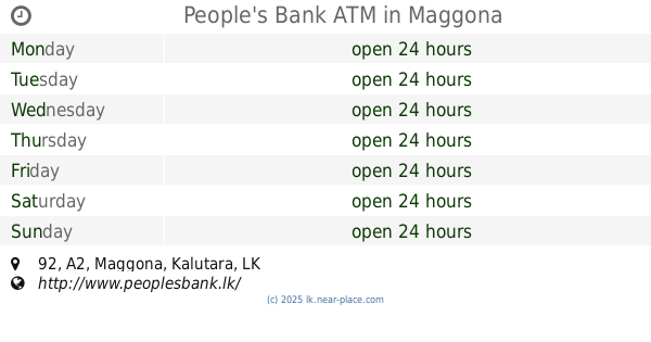
9.189 km
People's Bank ATM
92 A2, Maggona
Atm
read more
10.176 km
Sampath Bank ATM
Sri Lanka
Atm
read more
10.183 km
People's Bank ATM
Kalutara
Atm
read more
10.428 km
Commercial Bank ATM
Kalutara
Atm
read more
10.637 km
ATM Commercial Bank
Welipenna Exit
Atm
read more
15.003 km
Bank of Ceylon ATM
Thudugala
Atm
read more
17.138 km
Bank of Ceylon ATM
Nagoda - Kalawellawa - Bellapitiya Road, Matugama
Atm
read more
17.21 km
National Savings Bank ATM
B304, Matugama
Atm
read more
17.286 km
NDB Bank
98, Agalawatta Road, Nagoda - Mathugama - Kalawellawa - Bellapitiya Road, Matugama
Atm
read more
📑
all categories
Accounting
Administrative area level 1
Administrative area level 2
Airport
Amusement park
Aquarium
Art gallery
Atm
Bakery
Bank
Bar
Beauty salon
Bicycle store
Book store
Bowling alley
Bus station
Cafe
Campground
Car dealer
Car rental
Car repair
Car wash
Casino
Cemetery
Church
City hall
Clothing store
Colloquial area
Convenience store
Country
Courthouse
Dentist
Department store
Doctor
Electrician
Electronics store
Embassy
Finance
Fire station
Florist
Food
Funeral home
Furniture store
Gas station
General contractor
Grocery or supermarket
Gym
Hair care
Hardware store
Health
Hindu Temple
Home goods store
Hospital
Insurance agency
Intersection
Jewelry store
Laundry
Lawyer
Library
Light rail station
Liquor store
Local government office
Locality
Locksmith
Lodging
Meal delivery
Meal takeaway
Mosque
Movie rental
Movie theater
Moving company
Museum
Natural feature
Neighborhood
Night club
Painter
Park
Parking
Pet store
Pharmacy
Physiotherapist
Place of worship
Plumber
Point of interest
Police
Political
Post office
Premise
Real estate agency
Restaurant
Roofing contractor
Route
Rv park, camping
School
Shoe store
Shopping mall
Spa
Stadium
Storage
Store
Subpremise
Supermarket
Synagogue
Taxi stand
Train station
Transit station
Travel agency
University
Veterinary care
Zoo
administrative area level 3
sublocality level 1
sublocality level 2
↑