Atm nearby Boc ATM
Sri Lanka
Atm nearby Boc ATM
Boc ATM
48, Lighthouse Street, 80000, Galle, Galle, LK Sri Lanka
contacts phone
:
+94
website:
www.boc.lk
Latitude:
6.0294732
, Longitude:
80.2160837
larger map & directions
read more
nearest Atm
96 m
People's Bank ATM
Rampart Street, Galle
Atm
read more
294 m
ATM Commercial Bank
Church Street, Galle
Atm
read more
348 m
People's Bank
Colombo Road, Galle
Atm
read more
393 m
BOC Smart Zone
Abeysekara Building, 2 Gamini Mawatha, Galle
Atm
read more
411 m
NDB Bank ATM
Galle
Atm
read more
431 m
HNB ATM
Galle
Atm
read more
431 m
Hatton National Bank
3 Wakwella Road, Galle
Atm
read more
453 m
Sampath Bank
5 Wakwella Road, Galle
Atm
read more
454 m
Sampath Bank ATM
Galle
Atm
read more
512 m
ATM BOC SPO
Hospital Street, Galle
Atm
read more
514 m
Bank Of Ceylon ATM
Galle
Atm
read more
611 m
Seylan Bank ATM
2nd Cross Street, Galle
Atm
read more
620 m
Seylan Bank
No:34, 1st Cross Street, Galle
Atm
read more
651 m
Cargills Bank ATM
Galle
Atm
read more
666 m
NSB ATM
Galle
Atm
read more
674 m
Commercial Credit ATM
Lower Dickson Road, Galle
Atm
read more
724 m
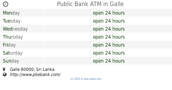
Public Bank ATM
Galle
Atm
read more
750 m
Commercial Bank ATM
Galle
Atm
read more
759 m
Commercial Bank (Minicom) Branch
No. 130, Main Street, Galle
Atm
read more
762 m
Union Bank ATM
Gnanobasa Mawatha, Galle
Atm
read more
866 m
Nations Trust Bank Galle Branch
16 Matara Road, Galle
Atm
read more
884 m
DFCC Bank ATM
Wakwella Road, Galle
Atm
read more
974 m
Commercial Bank
Gnanobasa Mawatha, Galle
Atm
read more
1.13 km
People's Bank ATM
A2, Galle
Atm
read more
1.145 km
HSBC ATM
Galle
Atm
read more
📑
all categories
Accounting
Administrative area level 1
Administrative area level 2
Airport
Amusement park
Aquarium
Art gallery
Atm
Bakery
Bank
Bar
Beauty salon
Bicycle store
Book store
Bowling alley
Bus station
Cafe
Campground
Car dealer
Car rental
Car repair
Car wash
Casino
Cemetery
Church
City hall
Clothing store
Colloquial area
Convenience store
Country
Courthouse
Dentist
Department store
Doctor
Electrician
Electronics store
Embassy
Finance
Fire station
Florist
Food
Funeral home
Furniture store
Gas station
General contractor
Grocery or supermarket
Gym
Hair care
Hardware store
Health
Hindu Temple
Home goods store
Hospital
Insurance agency
Intersection
Jewelry store
Laundry
Lawyer
Library
Light rail station
Liquor store
Local government office
Locality
Locksmith
Lodging
Meal delivery
Meal takeaway
Mosque
Movie rental
Movie theater
Moving company
Museum
Natural feature
Neighborhood
Night club
Painter
Park
Parking
Pet store
Pharmacy
Physiotherapist
Place of worship
Plumber
Point of interest
Police
Political
Post office
Premise
Real estate agency
Restaurant
Roofing contractor
Route
Rv park, camping
School
Shoe store
Shopping mall
Spa
Stadium
Storage
Store
Subpremise
Supermarket
Synagogue
Taxi stand
Train station
Transit station
Travel agency
University
Veterinary care
Zoo
administrative area level 3
sublocality level 1
sublocality level 2
↑