Atm nearby HNB ATM
Sri Lanka
Atm nearby HNB ATM
HNB ATM
Kalapaluwawa, Sri Lanka
contacts phone
:
+94
Latitude:
6.9139739
, Longitude:
79.9101684
larger map & directions
read more
nearest Atm
48 m
ATM
Kalapaluwawa
Atm
read more
925 m
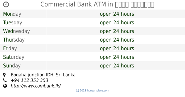
Commercial Bank ATM
Bogaha junction IDH
Atm
read more
1.037 km
BOC ATM
Gothatuwa New Town
Atm
read more
1.045 km
Bank of Ceylon
No: 33,Gothatuwa New Town
Atm
read more
1.051 km
NDB Bank
505 Sri Jayawardenepura Mawatha, Sri Jayawardenepura Kotte
Atm
read more
1.165 km
Bank Of Ceylon (ATM)
Subuthipura, Battaramulla
Atm
read more
1.178 km
BOC Smart ATM
Subuthipura, Battaramulla
Atm
read more
1.183 km
Nations trust Bank ATM
475 Sri Jayawardenepura Mawatha, Sri Jayawardenepura Kotte
Atm
read more
1.29 km
Sampath Bank ATM
Sri Jayawardenepura Kotte
Atm
read more
1.387 km
NSB ATM
B240, Battaramulla
Atm
read more
1.446 km
BOC Building
Sri Jayawardenepura Kotte
Atm
read more
1.447 km
BOC Smartzone Battaramulla
115 Kotte - Bope Road, Sri Jayawardenepura Kotte
Atm
read more
1.5 km
Standard Chartered Bank ATM
Kotte - Bope Rd, Battaramulla
Atm
read more
1.504 km
Sampath Bank ATM
157 Kotte - Bope Road, Sri Jayawardenepura Kotte
Atm
read more
1.538 km
Commercial Bank ATM
B240, Battaramulla
Atm
read more
1.538 km
Commercial Bank ATM
Kaduwela Rd, Battaramulla
Atm
read more
1.59 km
National Savings Bank
93 Kaduwela Rd, Sri Jayawardenepura Kotte
Atm
read more
1.658 km
HNB ATM
162/1 Koswatta Road, nawala, rajagiriya, Sri Jayawardenepura Kotte
Atm
read more
1.66 km
Hatton National Bank ATM Gateway College
Koswatta Road, Sri Jayawardenepura Kotte
Atm
read more
1.676 km
Hatton National Bank ATM
285 Sri Jayawardenepura Mawatha, Sri Jayawardenepura Kotte
Atm
read more
1.687 km
Commercial Bank ATM
106 B240, Battaramulla
Atm
read more
1.69 km
Seylan ATM
Sri Jayawardenepura Kotte
Atm
read more
1.728 km
NSB Bank ATM
Sri Jayawardenepura Kotte
Atm
read more
2.169 km
Seylan Bank PLC
119/A B47, Battaramulla
Atm
read more
2.581 km
National Savings Bank ATM (NSB ATM)
56/2 B231, Angoda
Atm
read more
📑
all categories
Accounting
Administrative area level 1
Administrative area level 2
Airport
Amusement park
Aquarium
Art gallery
Atm
Bakery
Bank
Bar
Beauty salon
Bicycle store
Book store
Bowling alley
Bus station
Cafe
Campground
Car dealer
Car rental
Car repair
Car wash
Casino
Cemetery
Church
City hall
Clothing store
Colloquial area
Convenience store
Country
Courthouse
Dentist
Department store
Doctor
Electrician
Electronics store
Embassy
Finance
Fire station
Florist
Food
Funeral home
Furniture store
Gas station
General contractor
Grocery or supermarket
Gym
Hair care
Hardware store
Health
Hindu Temple
Home goods store
Hospital
Insurance agency
Intersection
Jewelry store
Laundry
Lawyer
Library
Light rail station
Liquor store
Local government office
Locality
Locksmith
Lodging
Meal delivery
Meal takeaway
Mosque
Movie rental
Movie theater
Moving company
Museum
Natural feature
Neighborhood
Night club
Painter
Park
Parking
Pet store
Pharmacy
Physiotherapist
Place of worship
Plumber
Point of interest
Police
Political
Post office
Premise
Real estate agency
Restaurant
Roofing contractor
Route
Rv park, camping
School
Shoe store
Shopping mall
Spa
Stadium
Storage
Store
Subpremise
Supermarket
Synagogue
Taxi stand
Train station
Transit station
Travel agency
University
Veterinary care
Zoo
administrative area level 3
sublocality level 1
sublocality level 2
↑