Atm nearby People's Bank ATM
Sri Lanka
Atm nearby People's Bank ATM
People's Bank ATM
Kegalle-Bulathkohupitiya-Karawanella Highway, Bulathkohupitiya Sri Lanka
contacts phone
:
+94
Latitude:
7.1066018
, Longitude:
80.3349441
read more
nearest Atm
5.533 km
Peoples Bank ATM
Kotiyakumbura
Atm
read more
8.014 km
Peoples Bank ATM
Moronthota
Atm
read more
9.637 km
Bank of Ceylon and ATM
Avissawella-Hatton-Nuwara Eliya Highway, Yatiyanthota
Atm
read more
9.679 km
People's Bank ATM
Yatiyanthota - Magammana Road
Atm
read more
9.766 km
Seylan Bank ATM Yatiyantota
1/2, No 51, Ginigathhena Road, Yatiyantota
Atm
read more
9.775 km
National Savings Bank ATM
Yatiyanthota
Atm
read more
11.235 km
Sampath Bank ATM
Veyangoda Road, Ruwanwella
Atm
read more
11.251 km
Peoples bank ATM
Ruwanwella
Atm
read more
11.276 km
National Saving Bank
A21, Ruwanwella
Atm
read more
14.518 km
BOC ATM
Avissawella-Hatton-Nuwara Eliya Highway, Kitulgala
Atm
read more
14.595 km
People's Bank ATM
Galigamuwa
Atm
read more
14.621 km
BOC ATM
Galigamuwa
Atm
read more
15.544 km
BOC ATM
Dippitiya
Atm
read more
15.565 km
People's Bank ATM
Mawanella-Aranayake-Horawela Road, Dippitiya
Atm
read more
16.284 km
Dayaka Motor Mecnanic
Ginigathhena Road, Kitulgala
Atm
read more
20.073 km
Hatton National Bank ATM
Colombo - Kandy Road, Warakapola
Atm
read more
20.082 km
Comercial Bank ATM
Colombo - Kandy Road, Warakapola
Atm
read more
20.084 km
Bank of Ceylon ATM
Colombo - Kandy Road, Warakapola
Atm
read more
20.09 km
Sampath Bank ATM
Colombo - Kandy Road, Warakapola
Atm
read more
20.09 km
Seylan Bank ATM
Colombo - Kandy Road, Warakapola
Atm
read more
20.092 km
PEOPLES BANK SELF BANKING UNIT
Colombo - Kandy Road, Warakapola
Atm
read more
20.123 km
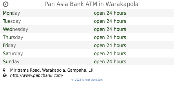
Pan Asia Bank ATM
Mirigama Road, Warakapola
Atm
read more
20.374 km
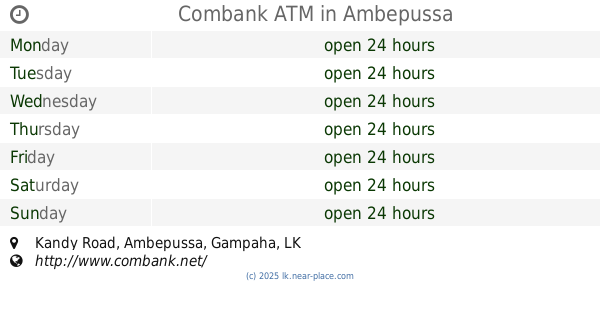
Combank ATM
Kandy Road, Ambepussa
Atm
read more
21.608 km
National Saving Bank ATM
Seethagama, Avissawella
Atm
read more
30.021 km
Sampath ATM
A1, Pilimathalawa
Atm
read more
📑
all categories
Accounting
Administrative area level 1
Administrative area level 2
Airport
Amusement park
Aquarium
Art gallery
Atm
Bakery
Bank
Bar
Beauty salon
Bicycle store
Book store
Bowling alley
Bus station
Cafe
Campground
Car dealer
Car rental
Car repair
Car wash
Casino
Cemetery
Church
City hall
Clothing store
Colloquial area
Convenience store
Country
Courthouse
Dentist
Department store
Doctor
Electrician
Electronics store
Embassy
Finance
Fire station
Florist
Food
Funeral home
Furniture store
Gas station
General contractor
Grocery or supermarket
Gym
Hair care
Hardware store
Health
Hindu Temple
Home goods store
Hospital
Insurance agency
Intersection
Jewelry store
Laundry
Lawyer
Library
Light rail station
Liquor store
Local government office
Locality
Locksmith
Lodging
Meal delivery
Meal takeaway
Mosque
Movie rental
Movie theater
Moving company
Museum
Natural feature
Neighborhood
Night club
Painter
Park
Parking
Pet store
Pharmacy
Physiotherapist
Place of worship
Plumber
Point of interest
Police
Political
Post office
Premise
Real estate agency
Restaurant
Roofing contractor
Route
Rv park, camping
School
Shoe store
Shopping mall
Spa
Stadium
Storage
Store
Subpremise
Supermarket
Synagogue
Taxi stand
Train station
Transit station
Travel agency
University
Veterinary care
Zoo
administrative area level 3
sublocality level 1
sublocality level 2
↑