Bakery nearby Ajith Bakery(KASP PERERA)
Sri Lanka
Bakery nearby Ajith Bakery(KASP PERERA)
Ajith Bakery(KASP PERERA)
Uluporanuwa Road, Ja-Ela, Gampaha, LK Sri Lanka
contacts phone
:
+94 77 612 6979
Latitude:
7.0557637
, Longitude:
79.8997276
larger map & directions
read more
nearest Bakery
758 m
Thilak Bakery
Ja-Ela
Bakery
read more
910 m
Thakshila
Station Road, Kandana
Bakery
read more
1.09 km
Lal Bakers & Gorcery
Kandana
Bakery
read more
1.192 km
Prasanna Bakery
Negombo-Colombo Main Road, Welesara
Bakery
read more
1.263 km
St. Anthony's Food
402 Negombo-Colombo Main Road, Kandana
Bakery
read more
1.35 km
C & L Bakers
320 church road kandana, westen provins, kandana srilanka
Bakery
read more
1.518 km
Calton Sweet House
Ja-Ela
Bakery
read more
1.576 km
Piushan Bakers
Ja-ela - Ganemulla Road, Ja-Ela
Bakery
read more
1.626 km
Ranil Bakers
Ja-Ela
Bakery
read more
1.821 km
Pala Bakery
Morawattha Road, Kandana
Bakery
read more
1.912 km
Treats By Salena
Ja-Ela
Bakery
read more
2.336 km
Niluka Bake House
Peralanda, Ragama
Bakery
read more
2.664 km
T's Cakes
Welisara
Bakery
read more
2.9 km
The De Hoedt's
Ragama
Bakery
read more
2.996 km
Nilusha Food Center
Minuwangoda Road,, Ja-Ela
Bakery
read more
3.464 km
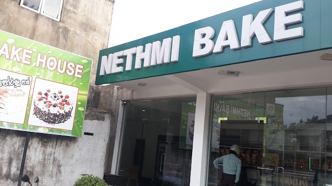
Nethmi Bake House
Kanuwana Junction, Ja-Ela
Bakery
read more
3.468 km
Creative Cakes
Police Lane, Ragama
Bakery
read more
3.644 km
Perera & Sons
Ragama
Bakery
read more
3.723 km
Dhammika Bakers. ( BAKERY , FOOD CORNER AND GROCERY )
No 41, Minuwangoda Road , Ja Ela, Ja-Ela
Bakery
read more
3.744 km
Lakwimana
72/c Thewatta Road, Ragama
Bakery
read more
3.786 km
New Mihiri Hotel
Thewatta Road, Ragama
Bakery
read more
3.83 km
Ben Food
588 Chilaw - Colombo Main Road, Kandana
Bakery
read more
4.078 km
Suneetha Bakers
Narangoda Paluwa
Bakery
read more
5.003 km
Super Pastry King
Narangoda Paluwa
Bakery
read more
6.209 km
JayaSri Creations
Gampaha
Bakery
read more
📑
all categories
Accounting
Administrative area level 1
Administrative area level 2
Airport
Amusement park
Aquarium
Art gallery
Atm
Bakery
Bank
Bar
Beauty salon
Bicycle store
Book store
Bowling alley
Bus station
Cafe
Campground
Car dealer
Car rental
Car repair
Car wash
Casino
Cemetery
Church
City hall
Clothing store
Colloquial area
Convenience store
Country
Courthouse
Dentist
Department store
Doctor
Electrician
Electronics store
Embassy
Finance
Fire station
Florist
Food
Funeral home
Furniture store
Gas station
General contractor
Grocery or supermarket
Gym
Hair care
Hardware store
Health
Hindu Temple
Home goods store
Hospital
Insurance agency
Intersection
Jewelry store
Laundry
Lawyer
Library
Light rail station
Liquor store
Local government office
Locality
Locksmith
Lodging
Meal delivery
Meal takeaway
Mosque
Movie rental
Movie theater
Moving company
Museum
Natural feature
Neighborhood
Night club
Painter
Park
Parking
Pet store
Pharmacy
Physiotherapist
Place of worship
Plumber
Point of interest
Police
Political
Post office
Premise
Real estate agency
Restaurant
Roofing contractor
Route
Rv park, camping
School
Shoe store
Shopping mall
Spa
Stadium
Storage
Store
Subpremise
Supermarket
Synagogue
Taxi stand
Train station
Transit station
Travel agency
University
Veterinary care
Zoo
administrative area level 3
sublocality level 1
sublocality level 2
↑