Bakery nearby Isuru Cakes and Foods
Sri Lanka
Bakery nearby Isuru Cakes and Foods
Isuru Cakes and Foods
Enderamulla, Wattala, Sri Lanka
contacts phone
:
+94 77 420 1301
Latitude:
6.9963597
, Longitude:
79.9170858
larger map & directions
read more
nearest Bakery
44 m
Junction Bakery
Vijaya Kumarathunga Mawatha, Wattala
Bakery
read more
44 m
Junction Hotel and Bakery
Vijaya Kumarathunga Mawatha, Wattala
Bakery
read more
81 m
Fine Bakers
Bakery
read more
208 m
Wijewardena Bakers
117 Vijaya Kumarathunga Mawatha, Wattala
Bakery
read more
322 m
I-sing Bakery
Samindu Mawatha, Wattala
Bakery
read more
568 m
Rosevilla Bakery
Wattala
Bakery
read more
1.023 km
Pathirana Bakers
Kurukulawa Road
Bakery
read more
1.587 km
Super Breads
Wattal, 67/2B Padiliyathuduwa Road
Bakery
read more
1.924 km
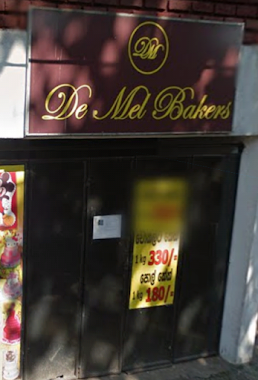
De Mel Bakers
Eriyawetiya Road, Kiribathgoda
Bakery
read more
2.01 km
Abaran Bakers
150 Wewalduwa Road
Bakery
read more
2.04 km
Sajith Bakers
Hunupitiya Road, Wattala
Bakery
read more
2.152 km
Saman Bakers
Gampaha
Bakery
read more
2.165 km
Amila Bakers
National Housing Scheme, Kiribathgoda
Bakery
read more
2.198 km
Renosha Bakers
National Housing Scheme, Kiribathgoda
Bakery
read more
2.201 km
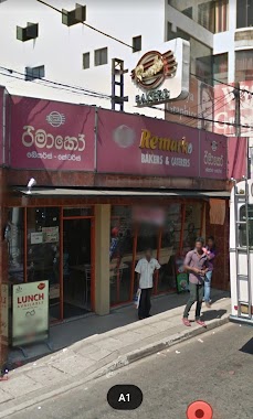
Remarko Bakers (රිමාකෝ)
Kandy Road, Kiribathgoda
Bakery
read more
2.29 km
Fabric Cakes
Sri Rajasinghe Mawatha
Bakery
read more
2.489 km
Hants Showroom - Dalugama
105 Colombo - Kandy Road
Bakery
read more
2.769 km
Don & Sons (Pvt) Ltd
Kadawatha
Bakery
read more
2.847 km
Caravan Fresh
Negombo Road, Welisara
Bakery
read more
2.932 km
M&H Bakery
Jayamanna Mawatha
Bakery
read more
3.006 km
Bread & Bun Bakers
Sri Lanka
Bakery
read more
3.154 km
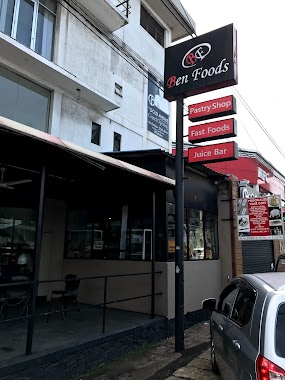
Ben Foods
Wattala
Bakery
read more
3.397 km
Ben Food
588 Chilaw - Colombo Main Road, Kandana
Bakery
read more
3.562 km
R. L. Clement Cake Decorating School
546, Negombo Road, Opposite People's Hospital, Welisara
Bakery
read more
3.766 km
JayaSri Creations
Gampaha
Bakery
read more
📑
all categories
Accounting
Administrative area level 1
Administrative area level 2
Airport
Amusement park
Aquarium
Art gallery
Atm
Bakery
Bank
Bar
Beauty salon
Bicycle store
Book store
Bowling alley
Bus station
Cafe
Campground
Car dealer
Car rental
Car repair
Car wash
Casino
Cemetery
Church
City hall
Clothing store
Colloquial area
Convenience store
Country
Courthouse
Dentist
Department store
Doctor
Electrician
Electronics store
Embassy
Finance
Fire station
Florist
Food
Funeral home
Furniture store
Gas station
General contractor
Grocery or supermarket
Gym
Hair care
Hardware store
Health
Hindu Temple
Home goods store
Hospital
Insurance agency
Intersection
Jewelry store
Laundry
Lawyer
Library
Light rail station
Liquor store
Local government office
Locality
Locksmith
Lodging
Meal delivery
Meal takeaway
Mosque
Movie rental
Movie theater
Moving company
Museum
Natural feature
Neighborhood
Night club
Painter
Park
Parking
Pet store
Pharmacy
Physiotherapist
Place of worship
Plumber
Point of interest
Police
Political
Post office
Premise
Real estate agency
Restaurant
Roofing contractor
Route
Rv park, camping
School
Shoe store
Shopping mall
Spa
Stadium
Storage
Store
Subpremise
Supermarket
Synagogue
Taxi stand
Train station
Transit station
Travel agency
University
Veterinary care
Zoo
administrative area level 3
sublocality level 1
sublocality level 2
↑