Bakery nearby Nawalapitiya Bake House
Sri Lanka
Bakery nearby Nawalapitiya Bake House
Nawalapitiya Bake House
Nawalapitiya, Sri Lanka
contacts phone
:
+94
Latitude:
7.0566671
, Longitude:
80.5354289
larger map & directions
read more
nearest Bakery
285 m
Salgado Bake House
Nawalapitiya-Kotmale Road, Nawalapitiya
Bakery
read more
2.517 km
Meepitiya Bake House
penithudumulla road, Nawalapitiya
Bakery
read more
12.094 km
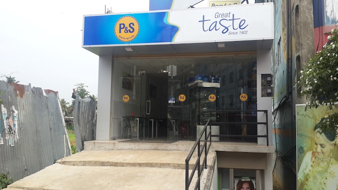
Perera and Sons
Gampola
Bakery
read more
12.268 km
Wasana Bakers Gampola
Kandy Road
Bakery
read more
12.489 km
Family Bakers
Nuwaraeliya Road, Gampola
Bakery
read more
12.491 km
New City Bakers & Sweet House
Ambagamuwa Road, Gampola
Bakery
read more
12.533 km
New family bakers
Ambagamuwa Road, Gampola
Bakery
read more
12.862 km
Isuri Bake House
Aranayaka
Bakery
read more
12.898 km
Perera and Sons
No 50, Panabokke Mawatha, Gampola
Bakery
read more
12.898 km
Perera and Sons
No 50, PBC Highway
Bakery
read more
13.55 km
Bake House
Hemmathagama
Bakery
read more
15.111 km
Sudhar Cake
Pundaluoya
Bakery
read more
15.707 km
Golden Bake House
Dippitiya
Bakery
read more
16.132 km
Dilhani Bakery & Catering
Sri Lanka
Bakery
read more
16.132 km
Dilhani Bakery & Catering
Bakery
read more
16.914 km
Yebina Bake House
Kotagala
Bakery
read more
17.091 km
Kollin's Bakery
Ganthuna
Bakery
read more
17.125 km
Thilaka Bakers
Mabopitiya - Ganthuna - Ambalakanda Road, Ganthuna
Bakery
read more
18.886 km
Jinnah Bakery
Peradeniya - Badulla - Chenkaladi Highway, Gelioya
Bakery
read more
19.213 km
Basnagala Bakery
Sri Lanka
Bakery
read more
19.271 km
Talawakelle Bakers
Sri Lanka
Bakery
read more
19.271 km
Talawakelle Bakers
Bakery
read more
24.066 km
Kapila Bakers & Sweet House
7.254223, 80.446263, Mawanella By Pass Road, Mawanella
Bakery
read more
24.898 km
Sri Ambal Bakers
11/70 Maskeliya - Upcot Road, Maskeliya
Bakery
read more
27.182 km
Samasiri Bakary
Miyanavita
Bakery
read more
📑
all categories
Accounting
Administrative area level 1
Administrative area level 2
Airport
Amusement park
Aquarium
Art gallery
Atm
Bakery
Bank
Bar
Beauty salon
Bicycle store
Book store
Bowling alley
Bus station
Cafe
Campground
Car dealer
Car rental
Car repair
Car wash
Casino
Cemetery
Church
City hall
Clothing store
Colloquial area
Convenience store
Country
Courthouse
Dentist
Department store
Doctor
Electrician
Electronics store
Embassy
Finance
Fire station
Florist
Food
Funeral home
Furniture store
Gas station
General contractor
Grocery or supermarket
Gym
Hair care
Hardware store
Health
Hindu Temple
Home goods store
Hospital
Insurance agency
Intersection
Jewelry store
Laundry
Lawyer
Library
Light rail station
Liquor store
Local government office
Locality
Locksmith
Lodging
Meal delivery
Meal takeaway
Mosque
Movie rental
Movie theater
Moving company
Museum
Natural feature
Neighborhood
Night club
Painter
Park
Parking
Pet store
Pharmacy
Physiotherapist
Place of worship
Plumber
Point of interest
Police
Political
Post office
Premise
Real estate agency
Restaurant
Roofing contractor
Route
Rv park, camping
School
Shoe store
Shopping mall
Spa
Stadium
Storage
Store
Subpremise
Supermarket
Synagogue
Taxi stand
Train station
Transit station
Travel agency
University
Veterinary care
Zoo
administrative area level 3
sublocality level 1
sublocality level 2
↑