Bakery nearby Sisira Bakers
Sri Lanka
Bakery nearby Sisira Bakers
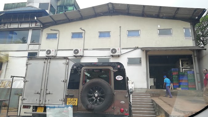
Sisira Bakers
Kahelbaddara, Sri Lanka
contacts phone
:
+94 334 671 015
Latitude:
7.1228863
, Longitude:
79.9672679
larger map & directions
read more
nearest Bakery
1.696 km
Wimalasiri Bakery
Weediyawatta
Bakery
read more
3.335 km
Fresh Bakes
Akaravita, Gampaha
Bakery
read more
3.453 km
Sadagiri Bakery
Gampaha
Bakery
read more
3.644 km
Jàyalath & Dias Confectionery
70/2,, Uggalboda Road, Paththanduwana
Bakery
read more
3.779 km
Bhagya Bakers Outlet 01
Gampaha
Bakery
read more
4.294 km
Perera & Sons
112 Delathura - Ja-Ela Road, Gampaha
Bakery
read more
4.336 km
Subash Bakers & Pastry Shop
no 98,ja ela road
Bakery
read more
4.343 km
Wasana Cake Bakery (වාසනා බේකර්ස්)
Gampaha
Bakery
read more
4.481 km
CP Caterers
No 90, Kumarathunga mw, Gampaha
Bakery
read more
4.52 km
Golden Bird Confectionery
sasanathilaka Mawatha
Bakery
read more
4.522 km
Mayura bakers
Gampaha
Bakery
read more
4.589 km
Chaminda bakers
6/4 1st lane kumarathunga road, Gampaha
Bakery
read more
4.589 km
Chaminda bakers
6/4 Kumaratunga road
Bakery
read more
4.626 km
වාසනා බේකර්ස්
Medagama 1, Gampaha
Bakery
read more
4.631 km
Perera & Sons
Courts Road, Gampaha
Bakery
read more
4.89 km
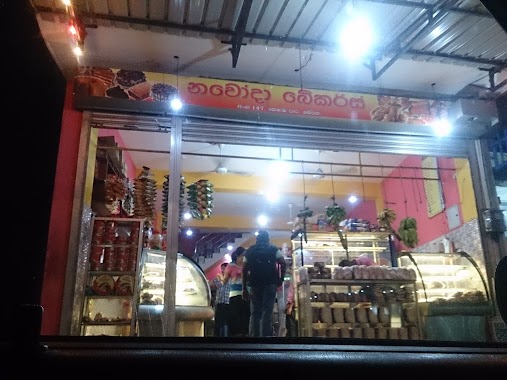
Navoda Bakers
Ja Ela-Ekala-Gampaha-Yakkala Highway, Gampaha
Bakery
read more
4.929 km
Benthara Bakery
Horagolla Road, Ganemulla
Bakery
read more
4.931 km
Sagara Bakery and Shop
Gampaha
Bakery
read more
4.932 km
Bakery and Grocery
Gampaha
Bakery
read more
4.956 km
Galloluwa Hotel & Bakery
Colombo
Bakery
read more
5.038 km
The First Choice
No. 202, Colombo Rd, Gampaha
Bakery
read more
5.211 km
Dilantha Bakers
Ja-Ela
Bakery
read more
9.528 km
Nilusha Food Center
Minuwangoda Road,, Ja-Ela
Bakery
read more
11.279 km
Niluka Bake House
Peralanda, Ragama
Bakery
read more
16.056 km
Raneesha Bakers
Negombo
Bakery
read more
📑
all categories
Accounting
Administrative area level 1
Administrative area level 2
Airport
Amusement park
Aquarium
Art gallery
Atm
Bakery
Bank
Bar
Beauty salon
Bicycle store
Book store
Bowling alley
Bus station
Cafe
Campground
Car dealer
Car rental
Car repair
Car wash
Casino
Cemetery
Church
City hall
Clothing store
Colloquial area
Convenience store
Country
Courthouse
Dentist
Department store
Doctor
Electrician
Electronics store
Embassy
Finance
Fire station
Florist
Food
Funeral home
Furniture store
Gas station
General contractor
Grocery or supermarket
Gym
Hair care
Hardware store
Health
Hindu Temple
Home goods store
Hospital
Insurance agency
Intersection
Jewelry store
Laundry
Lawyer
Library
Light rail station
Liquor store
Local government office
Locality
Locksmith
Lodging
Meal delivery
Meal takeaway
Mosque
Movie rental
Movie theater
Moving company
Museum
Natural feature
Neighborhood
Night club
Painter
Park
Parking
Pet store
Pharmacy
Physiotherapist
Place of worship
Plumber
Point of interest
Police
Political
Post office
Premise
Real estate agency
Restaurant
Roofing contractor
Route
Rv park, camping
School
Shoe store
Shopping mall
Spa
Stadium
Storage
Store
Subpremise
Supermarket
Synagogue
Taxi stand
Train station
Transit station
Travel agency
University
Veterinary care
Zoo
administrative area level 3
sublocality level 1
sublocality level 2
↑