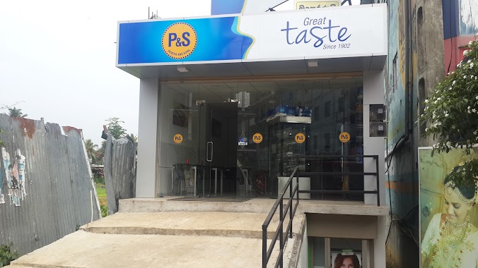
Bakery nearby U2 Fast Food
Sri Lanka
Bakery nearby U2 Fast Food
U2 Fast Food
Nuwara Eliya, Sri Lanka
contacts phone
:
+94 71 668 9240
Latitude:
6.9772947
, Longitude:
80.7508351
larger map & directions
read more
nearest Bakery
1.535 km
Upland Bake House
No:117, Kandy Road, Nuwara Eliya
Bakery
read more
1.832 km
Upland Bake House
6 New Bazaar Road, Nuwara Eliya
Bakery
read more
5.839 km
Sandil Bakehouse
Nuwara Eliya
Bakery
read more
6.263 km
Chathuranga Bake House
N:84 Parakumpura Road, Nanuoya
Bakery
read more
6.585 km
NEO BAKE HOUSE
Blackpool-Ambewela-Pattipola-Horton Plain Road, Nuwara Eliya
Bakery
read more
10.244 km
Sudhar Cake
Pundaluoya
Bakery
read more
10.863 km
Talawakelle Bakers
Sri Lanka
Bakery
read more
10.863 km
Talawakelle Bakers
Bakery
read more
10.87 km
Dilhani Bakery & Catering
Bakery
read more
10.87 km
Dilhani Bakery & Catering
Sri Lanka
Bakery
read more
16.002 km
Yebina Bake House
Kotagala
Bakery
read more
18.883 km
Baduriya Bakery
B353
Bakery
read more
19.399 km
Nandana Hotel & Bakers
Hemapala Munidasa Mawatha, Welimada
Bakery
read more
22.62 km
Upali Bake House
Sri Lanka
Bakery
read more
22.625 km
Jennah Bakery and sweet house
25.main road deltota,, kandy
Bakery
read more
25.294 km
Sri Ambal Bakers
11/70 Maskeliya - Upcot Road, Maskeliya
Bakery
read more
25.404 km
Buhary Bake House
Hatton - Maskeliya - Dalhousie Road, Maskeliya
Bakery
read more
25.556 km
Dream Cakes
11/70 Maskeliya - Upcot Road, Maskeliya
Bakery
read more
28.779 km
Wasana Bakers Gampola
Kandy Road
Bakery
read more
28.899 km
Perera and Sons
Gampola
Bakery
read more
29.064 km
New City Bakers & Sweet House
Ambagamuwa Road, Gampola
Bakery
read more
29.51 km
Chandanie Bakery
Diyatalawa Road, Diyathalawa
Bakery
read more
29.51 km
Chandanie Bakery
Roehampton-Diyatalawa-Bandarawela Road, Diyathalawa
Bakery
read more
29.748 km
Chandanie Bakers
Beragala
Bakery
read more
30.319 km
Thushara Hotel & Bakery තුෂාර බේකරිය සහ හෝටලය
Diyathalawa
Bakery
read more
📑
all categories
Accounting
Administrative area level 1
Administrative area level 2
Airport
Amusement park
Aquarium
Art gallery
Atm
Bakery
Bank
Bar
Beauty salon
Bicycle store
Book store
Bowling alley
Bus station
Cafe
Campground
Car dealer
Car rental
Car repair
Car wash
Casino
Cemetery
Church
City hall
Clothing store
Colloquial area
Convenience store
Country
Courthouse
Dentist
Department store
Doctor
Electrician
Electronics store
Embassy
Finance
Fire station
Florist
Food
Funeral home
Furniture store
Gas station
General contractor
Grocery or supermarket
Gym
Hair care
Hardware store
Health
Hindu Temple
Home goods store
Hospital
Insurance agency
Intersection
Jewelry store
Laundry
Lawyer
Library
Light rail station
Liquor store
Local government office
Locality
Locksmith
Lodging
Meal delivery
Meal takeaway
Mosque
Movie rental
Movie theater
Moving company
Museum
Natural feature
Neighborhood
Night club
Painter
Park
Parking
Pet store
Pharmacy
Physiotherapist
Place of worship
Plumber
Point of interest
Police
Political
Post office
Premise
Real estate agency
Restaurant
Roofing contractor
Route
Rv park, camping
School
Shoe store
Shopping mall
Spa
Stadium
Storage
Store
Subpremise
Supermarket
Synagogue
Taxi stand
Train station
Transit station
Travel agency
University
Veterinary care
Zoo
administrative area level 3
sublocality level 1
sublocality level 2
↑