Bank nearby Seylan Bank & ATM
Sri Lanka
Bank nearby Seylan Bank & ATM
Seylan Bank & ATM
Colombo-Ratnapura-Wellawaya-Batticaloa Highway, Kattankudy, Batticaloa, LK Sri Lanka
contacts phone
:
+94 652 246 625
website:
www.seylan.lk
Latitude:
7.6846797
, Longitude:
81.7265627
larger map & directions
read more
nearest Bank
Seylan Bank & ATM
A4, Kattankudy
Bank
read more
98 m
Amana Bank
Kattankudy
Bank
read more
118 m
Amana Bank
237 Main Street, Kattankudy
Bank
read more
127 m
Hatton National Bank
Kattankudy
Bank
read more
155 m
Pan Asia Bank
Colombo - Batticaloa Highway, Kattankudy
Bank
read more
163 m
Commercial Bank & ATM Kattankudy Branch
No 42, Fawzi Mawatha, Kattankudy
Bank
read more
401 m
Bank of Ceylon
Kattankudy
Bank
read more
427 m
Sampath Bank
Colombo-Ratnapura-Wellawaya-Batticaloa Highway, Kattankudy
Bank
read more
427 m
Sampath Bank
A4, Kattankudy
Bank
read more
432 m
Sampath Bank & ATM
Colombo - Batticaloa Highway, Kattankudy
Bank
read more
1.191 km
People's Bank
Colombo - Batticaloa Highway, Kattankudy
Bank
read more
1.681 km
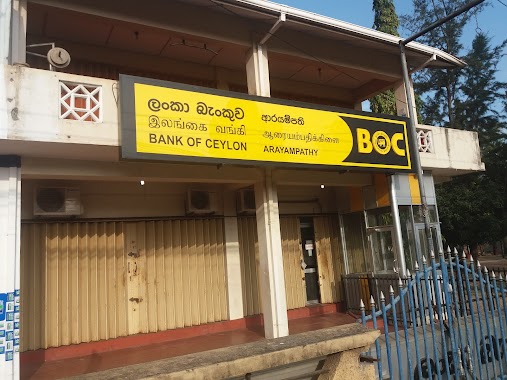
Bank of Ceylon Ariyampathy Branch
Colombo - Batticaloa Highway, Kattankudy
Bank
read more
1.803 km
Divineguma Community Based Bank
Kallady
Bank
read more
2.631 km
People's Bank මහජන බැංකුව
Kattankudy
Bank
read more
3.183 km
Sanasa Development Bank PLC
Kallady
Bank
read more
4.035 km
Bank of Ceylon Kachcheri Branch
District Secretariat, Batticaloa
Bank
read more
4.774 km
Commercial Bank & ATM
No 42, Bar Road, Batticaloa
Bank
read more
4.799 km
People's Bank & ATM
50 Pioneer Road, Batticaloa
Bank
read more
5.082 km
Bank of Ceylon
Arunagiri Road, Batticaloa
Bank
read more
5.115 km
Pan Asia Bank Area Office - East
Batticaloa
Bank
read more
5.924 km
Hatton National Bank PLC
Batticaloa
Bank
read more
5.98 km
Sampath Bank & ATM
Gnanasooriyam Square Road, Batticaloa
Bank
read more
6.395 km
HDFC Bank of Sri Lanka
No 601A, Trinco Road, Batticaloa
Bank
read more
6.418 km
CDB bank
Trinco Road, Batticaloa
Bank
read more
6.6 km
People's Bank
Batticaloa
Bank
read more
📑
all categories
Accounting
Administrative area level 1
Administrative area level 2
Airport
Amusement park
Aquarium
Art gallery
Atm
Bakery
Bank
Bar
Beauty salon
Bicycle store
Book store
Bowling alley
Bus station
Cafe
Campground
Car dealer
Car rental
Car repair
Car wash
Casino
Cemetery
Church
City hall
Clothing store
Colloquial area
Convenience store
Country
Courthouse
Dentist
Department store
Doctor
Electrician
Electronics store
Embassy
Finance
Fire station
Florist
Food
Funeral home
Furniture store
Gas station
General contractor
Grocery or supermarket
Gym
Hair care
Hardware store
Health
Hindu Temple
Home goods store
Hospital
Insurance agency
Intersection
Jewelry store
Laundry
Lawyer
Library
Light rail station
Liquor store
Local government office
Locality
Locksmith
Lodging
Meal delivery
Meal takeaway
Mosque
Movie rental
Movie theater
Moving company
Museum
Natural feature
Neighborhood
Night club
Painter
Park
Parking
Pet store
Pharmacy
Physiotherapist
Place of worship
Plumber
Point of interest
Police
Political
Post office
Premise
Real estate agency
Restaurant
Roofing contractor
Route
Rv park, camping
School
Shoe store
Shopping mall
Spa
Stadium
Storage
Store
Subpremise
Supermarket
Synagogue
Taxi stand
Train station
Transit station
Travel agency
University
Veterinary care
Zoo
administrative area level 3
sublocality level 1
sublocality level 2
↑