Bank nearby Ulpathakumbura Rural Bank
Sri Lanka
Bank nearby Ulpathakumbura Rural Bank
Ulpathakumbura Rural Bank
Ampitiya, Sri Lanka
contacts phone
:
+94
Latitude:
7.2694752
, Longitude:
80.6640632
larger map & directions
read more
nearest Bank
321 m
Peoples bank ATM
Ampitiya
Bank
read more
1.628 km
Rural People's Bank
A26, Nattarampota
Bank
read more
2.011 km
People's Bank
A26, Nattarampota
Bank
read more
2.025 km
HNB Bank
Mahiyangana Road, Nattarampota
Bank
read more
2.025 km
Hatton National Bank
No 67/19¸ Digana Road¸ Nattarampotha¸ Kundasale, Sri Lanka, Mahiyangana Road, Nattarampota
Bank
read more
2.077 km
Commercial Bank Kundasale (Dumbara Super) Branch
No 199, New Digana Road, Nattarampotha, Kundasale
Bank
read more
2.093 km
Commercial Bank
199 A26, Kundasale
Bank
read more
2.242 km
Pan Asia Bank
No 248, Digana Road,, Kundasale
Bank
read more
2.316 km
Galthenna Rural Bank
Ampitiya - Ratemulla Road
Bank
read more
2.767 km
Dumbara Sanasa Bank
Warapitiya Junction
Bank
read more
2.909 km
Co-Op Rural bank
Gurudeniya
Bank
read more
3.515 km
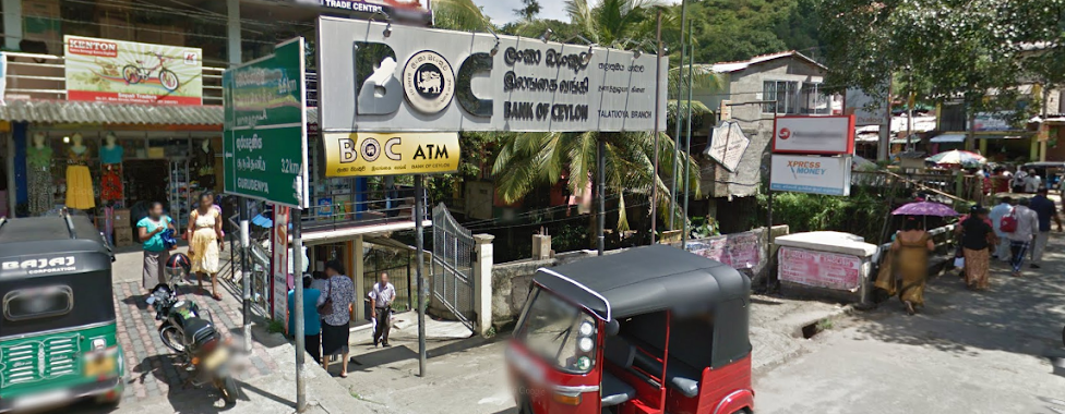
Bank of Ceylon Thalathuoya Branch ලංකා බැංකුව තලාතුඔය ශාඛාව
Thalathuoya
Bank
read more
3.525 km
People's Bank
Thalathuoya
Bank
read more
3.849 km
DFCC Bank - Kandy
5 Deva Veediya, Kandy
Bank
read more
3.869 km
State Bank of India
21 Temple Street, Kandy
Bank
read more
3.891 km
Rdb Bank
100 Colombo Street, Kandy
Bank
read more
3.918 km
DFCC Bank - Kandy City Centre
No 05, L1-K4, City Centre, Sri Dalada Veediya, මහනුවර
Bank
read more
3.92 km
PAN ASIA BANK
Kandy
Bank
read more
3.928 km
Hatton National Bank
1 Sri Dalada Veediya, Kandy
Bank
read more
3.932 km
HNB
Kandy
Bank
read more
3.962 km
Cargills Bank kandy
Kandy
Bank
read more
4.013 km
Vasanthas International Money Exchange
Kandy
Bank
read more
4.025 km
Commercial Factors
51 D S Senanayake Veediya, Kandy
Bank
read more
4.149 km
Pan Asia Bank
123, D S Senanayake Veediya, Kandy
Bank
read more
4.176 km
National Development Bank
88, Ground Floor East L Senanayake Veediya, Kandy
Bank
read more
📑
all categories
Accounting
Administrative area level 1
Administrative area level 2
Airport
Amusement park
Aquarium
Art gallery
Atm
Bakery
Bank
Bar
Beauty salon
Bicycle store
Book store
Bowling alley
Bus station
Cafe
Campground
Car dealer
Car rental
Car repair
Car wash
Casino
Cemetery
Church
City hall
Clothing store
Colloquial area
Convenience store
Country
Courthouse
Dentist
Department store
Doctor
Electrician
Electronics store
Embassy
Finance
Fire station
Florist
Food
Funeral home
Furniture store
Gas station
General contractor
Grocery or supermarket
Gym
Hair care
Hardware store
Health
Hindu Temple
Home goods store
Hospital
Insurance agency
Intersection
Jewelry store
Laundry
Lawyer
Library
Light rail station
Liquor store
Local government office
Locality
Locksmith
Lodging
Meal delivery
Meal takeaway
Mosque
Movie rental
Movie theater
Moving company
Museum
Natural feature
Neighborhood
Night club
Painter
Park
Parking
Pet store
Pharmacy
Physiotherapist
Place of worship
Plumber
Point of interest
Police
Political
Post office
Premise
Real estate agency
Restaurant
Roofing contractor
Route
Rv park, camping
School
Shoe store
Shopping mall
Spa
Stadium
Storage
Store
Subpremise
Supermarket
Synagogue
Taxi stand
Train station
Transit station
Travel agency
University
Veterinary care
Zoo
administrative area level 3
sublocality level 1
sublocality level 2
↑