Cafe nearby Darsha Tea Room
Sri Lanka
Cafe nearby Darsha Tea Room
Darsha Tea Room
Galle Sri Lanka
contacts phone
:
+94
Latitude:
6.0793927
, Longitude:
80.2843517
read more
nearest Cafe
611 m
Captain Garden Tea Factory
Amalgama, Akmeemana
Cafe
read more
961 m
Wevegoda Tea Factory
B129, Akmimana
Cafe
read more
1.822 km
Liota Tea Factory
Galle
Cafe
read more
1.972 km
Red And Green Bakery
Akmeemana
Cafe
read more
2.392 km
Thalgampola Tea Factory
Akmeemana
Cafe
read more
2.803 km
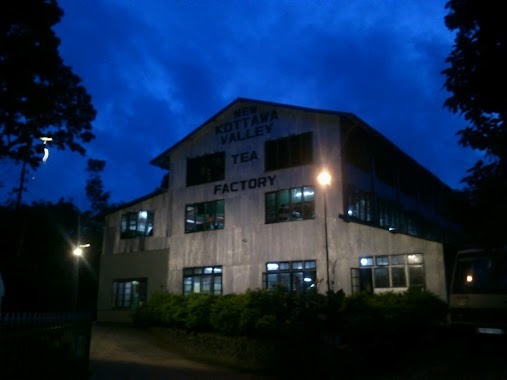
New Kottawa Valley Tea Factory
B129
Cafe
read more
5.021 km
Sulalitha Hotel
B248, Galle
Cafe
read more
6.044 km
Shantha Tea Room
Angulugaha
Cafe
read more
6.923 km
Iduwara cafe
20 Galle - Udugama Road, Galle
Cafe
read more
8.28 km
Ranra Tea Shop
Unawatuna Walle dewala Road
Cafe
read more
8.802 km
Cafe Cinema
Wallaye Deywala Rd, Unawatuna
Cafe
read more
8.844 km
Cafe 86
86 Wakwella Road, Galle
Cafe
read more
8.972 km
Coffee and more
Unawatuna
Cafe
read more
9.189 km
The Old Railway
42 Havelock Road, Galle
Cafe
read more
9.242 km
Nakiadeniya Rubber Estate - Main Office
Nakiadeniya Rubber Estate Nakiadeniya, Sri Lanka
Cafe
read more
9.26 km
Lemongrass Cafe
Devala Road, Unawatuna
Cafe
read more
9.279 km
Tea Breeze
スリランカ, Galle
Cafe
read more
9.396 km
Il Gelato
Pedlar Street, Galle
Cafe
read more
9.417 km
Tea de Forte
No 37, Pedlar Street, Galle
Cafe
read more
9.561 km
සුභ සාධක වෙළඳ සැල
Rampart Street, Galle
Cafe
read more
9.568 km
Pedlar's Inn Cafe and Restaurant
Pedlar Street, Galle
Cafe
read more
9.645 km
Hula Hula Cafe
29b, Rampart Street, Galle
Cafe
read more
9.791 km
Ak's Palace
Bope Cross Road, Galle
Cafe
read more
14.641 km
Sayurima Bakery Ahanagama
A2, Ahangama
Cafe
read more
15.588 km
Happy Cafe
Sri Lanka
Cafe
read more
📑
all categories
Accounting
Administrative area level 1
Administrative area level 2
Airport
Amusement park
Aquarium
Art gallery
Atm
Bakery
Bank
Bar
Beauty salon
Bicycle store
Book store
Bowling alley
Bus station
Cafe
Campground
Car dealer
Car rental
Car repair
Car wash
Casino
Cemetery
Church
City hall
Clothing store
Colloquial area
Convenience store
Country
Courthouse
Dentist
Department store
Doctor
Electrician
Electronics store
Embassy
Finance
Fire station
Florist
Food
Funeral home
Furniture store
Gas station
General contractor
Grocery or supermarket
Gym
Hair care
Hardware store
Health
Hindu Temple
Home goods store
Hospital
Insurance agency
Intersection
Jewelry store
Laundry
Lawyer
Library
Light rail station
Liquor store
Local government office
Locality
Locksmith
Lodging
Meal delivery
Meal takeaway
Mosque
Movie rental
Movie theater
Moving company
Museum
Natural feature
Neighborhood
Night club
Painter
Park
Parking
Pet store
Pharmacy
Physiotherapist
Place of worship
Plumber
Point of interest
Police
Political
Post office
Premise
Real estate agency
Restaurant
Roofing contractor
Route
Rv park, camping
School
Shoe store
Shopping mall
Spa
Stadium
Storage
Store
Subpremise
Supermarket
Synagogue
Taxi stand
Train station
Transit station
Travel agency
University
Veterinary care
Zoo
administrative area level 3
sublocality level 1
sublocality level 2
↑