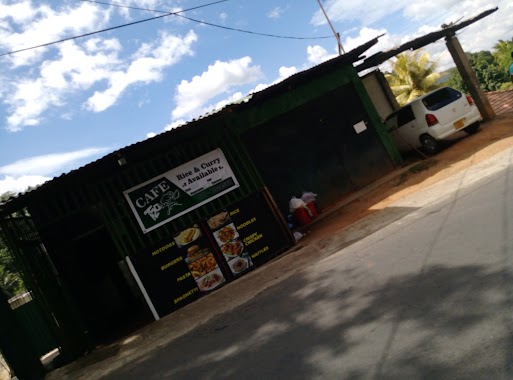
Cafe nearby Sumathi Caters
Sri Lanka
Cafe nearby Sumathi Caters
Sumathi Caters
Katugastota, Sri Lanka
contacts phone
:
+94
Latitude:
7.3085909
, Longitude:
80.6165825
larger map & directions
read more
nearest Cafe
1.13 km
Net Zone
Kandy
Cafe
read more
1.722 km
E-Town Computers & Internet Cafe
Katugastota-Kurunegala-Puttalam Highway, Katugastota
Cafe
read more
1.853 km
Kandy Burger & Juice Bar
Mawilmada Road, Kandy
Cafe
read more
1.95 km
T20 Cafe
Kandy
Cafe
read more
1.954 km
Kavidu Bookshop
Barigama-Halloluwa Road, Halloluwa
Cafe
read more
2.04 km
Gain Internet Cafe & Print Shop
No,115, Madawala Road, Katugastota
Cafe
read more
2.203 km
Qkeez
Kandy
Cafe
read more
2.316 km
P & S Bakers
Katugastota - Madawala - Bambarella Road, Katugastota
Cafe
read more
2.455 km
P & S Bakers
Kurunegala Road, Kandy
Cafe
read more
2.475 km
Delight
George E De Silva Mawatha, Kandy
Cafe
read more
2.509 km
Lyon's Restaurant
A1, Kandy
Cafe
read more
2.513 km
Kandy Iyer Cafe
Kandy
Cafe
read more
2.552 km
BUONO
12 Lamagaraya Road, Kandy
Cafe
read more
2.614 km
Hashan’s kingdom
Sri Dalada Veediya, Kandy
Cafe
read more
2.665 km
The Garage Café
S W R. D., Peradeniya Road, Kandy
Cafe
read more
2.67 km
Midland
Market Street, Kandy
Cafe
read more
2.708 km
Milk Bar
Kandy
Cafe
read more
2.755 km
Hotel Nawamaga
kandy, mahiyangane padiyathalawa, highway, Kandy
Cafe
read more
2.767 km
Tea Centre
36 Sri Dalada Veediya, Kandy
Cafe
read more
2.793 km
Deen's milk Bar
Kandy
Cafe
read more
2.819 km
Devon Food Court
11, Sri Dalada Veediya, Kandy
Cafe
read more
2.827 km
CaféWalk KCC
Kandy City Centre, Sri Dalada Veediya, Kandy
Cafe
read more
2.835 km
ROOTS
30 Sri Dalada Veediya, Kandy
Cafe
read more
2.854 km
Cafe Malliatte
E 20000,, 5 East L Senanayake Veediya, Kandy
Cafe
read more
2.969 km
The Empire Cafe
Temple Street, Kandy
Cafe
read more
📑
all categories
Accounting
Administrative area level 1
Administrative area level 2
Airport
Amusement park
Aquarium
Art gallery
Atm
Bakery
Bank
Bar
Beauty salon
Bicycle store
Book store
Bowling alley
Bus station
Cafe
Campground
Car dealer
Car rental
Car repair
Car wash
Casino
Cemetery
Church
City hall
Clothing store
Colloquial area
Convenience store
Country
Courthouse
Dentist
Department store
Doctor
Electrician
Electronics store
Embassy
Finance
Fire station
Florist
Food
Funeral home
Furniture store
Gas station
General contractor
Grocery or supermarket
Gym
Hair care
Hardware store
Health
Hindu Temple
Home goods store
Hospital
Insurance agency
Intersection
Jewelry store
Laundry
Lawyer
Library
Light rail station
Liquor store
Local government office
Locality
Locksmith
Lodging
Meal delivery
Meal takeaway
Mosque
Movie rental
Movie theater
Moving company
Museum
Natural feature
Neighborhood
Night club
Painter
Park
Parking
Pet store
Pharmacy
Physiotherapist
Place of worship
Plumber
Point of interest
Police
Political
Post office
Premise
Real estate agency
Restaurant
Roofing contractor
Route
Rv park, camping
School
Shoe store
Shopping mall
Spa
Stadium
Storage
Store
Subpremise
Supermarket
Synagogue
Taxi stand
Train station
Transit station
Travel agency
University
Veterinary care
Zoo
administrative area level 3
sublocality level 1
sublocality level 2
↑