Cafe nearby Swiss Bakery, Banyan
Sri Lanka
Cafe nearby Swiss Bakery, Banyan
Swiss Bakery, Banyan
294/5, Lewis Place, Negombo, Gampaha, LK Sri Lanka
contacts phone
:
+94 112 308 408
Latitude:
7.2346726
, Longitude:
79.841423
larger map & directions
read more
nearest Cafe
120 m
Coconut Primitive
294/5 Lewis Place, Negombo
Cafe
read more
366 m
Tea Zone
20, Porutota Road, Negombo
Cafe
read more
416 m
O.K Negombo Craft Jeweller
214/A, Lewis Place, Negombo
Cafe
read more
424 m
Feradiwills coffee Shop & Ice Cream lounge
20 a porutota road, Negombo
Cafe
read more
653 m
Zen Cafe
164 Lewis Place, Negombo
Cafe
read more
718 m
Hungry Bee Pastry Shop
Negombo
Cafe
read more
866 m
H.M Juice Bar & Snack Corner
108 Porutota Road, Negombo
Cafe
read more
874 m
t-Lounge by Dilmah by the Beach
11500, 112 Porutota Road, நீர்கொழும்பு
Cafe
read more
895 m
Raja Hotel
4, Cemetery Road, Negombo
Cafe
read more
1.01 km
Luke Cone Ice Cream
80 Lewis Place, Negombo
Cafe
read more
1.06 km
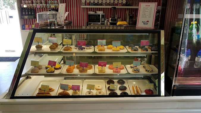
Miss Molly Negombo
Park Lane, Negombo
Cafe
read more
1.063 km
The Coffee Bean & Tea Leaf
7.244253, 79.842327, Park Lane, Negombo
Cafe
read more
1.123 km
Cafe enviro
277 Lewis Place, Negombo
Cafe
read more
1.302 km
Vinu Products Snacks
465 Chilaw - Colombo Main Road, Negombo
Cafe
read more
1.395 km
Biriyani Hut
Negombo
Cafe
read more
1.97 km
The Grand
No 45, Colombo Road, Negombo
Cafe
read more
2.315 km
Calton Bakery
B322, Negombo
Cafe
read more
2.353 km
Stollen
No 391/A Main Street, Negombo
Cafe
read more
2.541 km
Nayomi's Cafe
Kaveens, 215 Main Street, Negombo
Cafe
read more
2.706 km
Lucky Stores
Jude Mawatha, Negombo
Cafe
read more
2.801 km
Cafe 84
Udayar Thoppuwa, Negombo
Cafe
read more
2.804 km
Icebear Century Café
Negombo
Cafe
read more
2.826 km
National Bake House
30 Greens Road, Negombo
Cafe
read more
2.937 km
The Fab, Negombo
Negombo
Cafe
read more
3.013 km
Calton
Customs House Road, Negombo
Cafe
read more
📑
all categories
Accounting
Administrative area level 1
Administrative area level 2
Airport
Amusement park
Aquarium
Art gallery
Atm
Bakery
Bank
Bar
Beauty salon
Bicycle store
Book store
Bowling alley
Bus station
Cafe
Campground
Car dealer
Car rental
Car repair
Car wash
Casino
Cemetery
Church
City hall
Clothing store
Colloquial area
Convenience store
Country
Courthouse
Dentist
Department store
Doctor
Electrician
Electronics store
Embassy
Finance
Fire station
Florist
Food
Funeral home
Furniture store
Gas station
General contractor
Grocery or supermarket
Gym
Hair care
Hardware store
Health
Hindu Temple
Home goods store
Hospital
Insurance agency
Intersection
Jewelry store
Laundry
Lawyer
Library
Light rail station
Liquor store
Local government office
Locality
Locksmith
Lodging
Meal delivery
Meal takeaway
Mosque
Movie rental
Movie theater
Moving company
Museum
Natural feature
Neighborhood
Night club
Painter
Park
Parking
Pet store
Pharmacy
Physiotherapist
Place of worship
Plumber
Point of interest
Police
Political
Post office
Premise
Real estate agency
Restaurant
Roofing contractor
Route
Rv park, camping
School
Shoe store
Shopping mall
Spa
Stadium
Storage
Store
Subpremise
Supermarket
Synagogue
Taxi stand
Train station
Transit station
Travel agency
University
Veterinary care
Zoo
administrative area level 3
sublocality level 1
sublocality level 2
↑