Church nearby Amandoluwa RC Church
Sri Lanka
Church nearby Amandoluwa RC Church
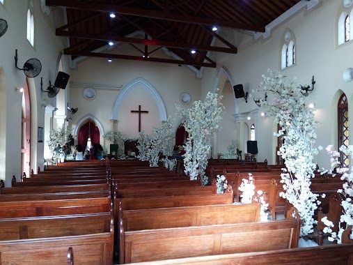
Amandoluwa RC Church
Katunayake, Sri Lanka
contacts phone
:
+94
Latitude:
7.1536653
, Longitude:
79.8830578
larger map & directions
read more
nearest Church
360 m
Methodist Church
15/17 A Jayawardana Puraya, Katunayake
Church
read more
1.135 km
Methodist Church Thampola
Mutuwadiya Road, Katunayake
Church
read more
1.163 km
Ceylonese Evangelistic Association
Araliya Lane, Katunayake
Church
read more
1.164 km
Methodist Church
Liyanagemulla, Church Road, Seeduwa
Church
read more
1.314 km
Gethsemane Church, Seeduwa
379/1 Baseline Road, Seeduwa
Church
read more
1.346 km
St Anthony's Church
Seeduwa
Church
read more
1.357 km
St. Anthony's Church
Katunayake
Church
read more
1.644 km
our lady of Sri Lanks
Tewatta Ragama
Church
read more
1.736 km
St. Lewis's Church
Kotaruppe, Katunayake
Church
read more
2.091 km
St. Sebastian Catholic Church
Katunayake
Church
read more
2.279 km
Our Lady Of Lourdes Church Raddolugama
Katunayake
Church
read more
2.349 km
St. Peter and Paul’s Church
Negombo
Church
read more
2.364 km
Immaculata Virgin Mary's Church Seeduwa
Sri Lanka, Kotugoda Road, Seeduwa
Church
read more
2.364 km
Immaculata Virgin Mary's Church Seeduwa
Sri Lanka, Kotugoda Rd, Seeduwa
Church
read more
2.383 km
Kingdom Hall of Jehovah’s Witnesses
Negombo
Church
read more
2.385 km
St.Peter and Paul Church, Katunayake
Katunayake
Church
read more
2.422 km
Infant Jesus Church Walanagoda
Walanagoda, Kaunayake, Katunayake
Church
read more
2.646 km
Methodist Church
Seeduwa
Church
read more
2.843 km
Methodist Church Raddoluwa
Seeduwa
Church
read more
2.843 km
Raddoluwa Methodist Church
Seeduwa
Church
read more
2.954 km
St. Cecilia Church
14/A Katunayake
Church
read more
3.28 km
Kurulukale St. Jude's Church
Seeduwa
Church
read more
3.367 km
Methodist Church - Kurana
Negombo
Church
read more
3.367 km
Methodost Church Kurana
Negombo
Church
read more
3.522 km
Sanctuary Fellowship Church
Samagi Mw, Negombo
Church
read more
📑
all categories
Accounting
Administrative area level 1
Administrative area level 2
Airport
Amusement park
Aquarium
Art gallery
Atm
Bakery
Bank
Bar
Beauty salon
Bicycle store
Book store
Bowling alley
Bus station
Cafe
Campground
Car dealer
Car rental
Car repair
Car wash
Casino
Cemetery
Church
City hall
Clothing store
Colloquial area
Convenience store
Country
Courthouse
Dentist
Department store
Doctor
Electrician
Electronics store
Embassy
Finance
Fire station
Florist
Food
Funeral home
Furniture store
Gas station
General contractor
Grocery or supermarket
Gym
Hair care
Hardware store
Health
Hindu Temple
Home goods store
Hospital
Insurance agency
Intersection
Jewelry store
Laundry
Lawyer
Library
Light rail station
Liquor store
Local government office
Locality
Locksmith
Lodging
Meal delivery
Meal takeaway
Mosque
Movie rental
Movie theater
Moving company
Museum
Natural feature
Neighborhood
Night club
Painter
Park
Parking
Pet store
Pharmacy
Physiotherapist
Place of worship
Plumber
Point of interest
Police
Political
Post office
Premise
Real estate agency
Restaurant
Roofing contractor
Route
Rv park, camping
School
Shoe store
Shopping mall
Spa
Stadium
Storage
Store
Subpremise
Supermarket
Synagogue
Taxi stand
Train station
Transit station
Travel agency
University
Veterinary care
Zoo
administrative area level 3
sublocality level 1
sublocality level 2
↑