Church nearby Church Of The Living Christ
Sri Lanka
Church nearby Church Of The Living Christ
Church Of The Living Christ
Talawa Sri Lanka
contacts phone
:
+94
Latitude:
8.2322655
, Longitude:
80.347974
read more
nearest Church
10.478 km
Pothanegama Catholic Church
New Puttalam Road, Anuradhapura
Church
read more
11.698 km
Assembly of Gold
Agbopura 18th Lane, Anuradhapura
Church
read more
11.875 km
Stone Church
Anuradhapura
Church
read more
12.079 km
Bishop's House
Anuradhapura
Church
read more
14.065 km
The Life Centre
Nochchiyagama
Church
read more
15.289 km
Methodist Church
Methodist Church ,Track 06, Katiyawa
Church
read more
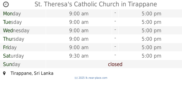
19.377 km
St. Theresa's Catholic Church
Tirappane
Church
read more
21.251 km
St. Jude's Church
Ashokapura road, Kannattiya, Mihintale
Church
read more
22.545 km
Kagama Church
Sri Lanka
Church
read more
22.888 km
St. Anthony's Church
A9, Mihintale
Church
read more
28.321 km
Rabawa Church
Rambewa
Church
read more
28.331 km
St.Anthony's Church
Maha Galgamuwa
Church
read more
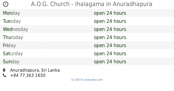
30.079 km
A.O.G. Church - Ihalagama
Anuradhapura
Church
read more
33.812 km
St. Anthonys Church
Ganewelpola - Dachchahalmillewa Road
Church
read more
34.618 km
Kekirawa Baptist Church
Talawa Road, Kekirawa
Church
read more
34.837 km
Catholic Church Kekirawa
Jayanthi Road, Kekirawa
Church
read more
44.345 km
St.Anthony's Church
Mudaliyarkulam South, Vavuniya
Church
read more
46.486 km
Catholic Church
Maho
Church
read more
50.826 km
Egodapitiya church
Church
read more
53.953 km
St Judes Church
Galgamuwa Road, Anamaduwa
Church
read more
54.55 km
Kottukachchiya Church
Kottukachchiya
Church
read more
57.607 km
St. Sebastian Church
Unnamed Road, Dambulla
Church
read more
59.432 km
Our Lady of Assumption
Mannar
Church
read more
60.008 km
St Anthony's Church Mullikulam
Sri Lanka
Church
read more
61.415 km
Sindathriya Maria Church
Dambulla
Church
read more
📑
all categories
Accounting
Administrative area level 1
Administrative area level 2
Airport
Amusement park
Aquarium
Art gallery
Atm
Bakery
Bank
Bar
Beauty salon
Bicycle store
Book store
Bowling alley
Bus station
Cafe
Campground
Car dealer
Car rental
Car repair
Car wash
Casino
Cemetery
Church
City hall
Clothing store
Colloquial area
Convenience store
Country
Courthouse
Dentist
Department store
Doctor
Electrician
Electronics store
Embassy
Finance
Fire station
Florist
Food
Funeral home
Furniture store
Gas station
General contractor
Grocery or supermarket
Gym
Hair care
Hardware store
Health
Hindu Temple
Home goods store
Hospital
Insurance agency
Intersection
Jewelry store
Laundry
Lawyer
Library
Light rail station
Liquor store
Local government office
Locality
Locksmith
Lodging
Meal delivery
Meal takeaway
Mosque
Movie rental
Movie theater
Moving company
Museum
Natural feature
Neighborhood
Night club
Painter
Park
Parking
Pet store
Pharmacy
Physiotherapist
Place of worship
Plumber
Point of interest
Police
Political
Post office
Premise
Real estate agency
Restaurant
Roofing contractor
Route
Rv park, camping
School
Shoe store
Shopping mall
Spa
Stadium
Storage
Store
Subpremise
Supermarket
Synagogue
Taxi stand
Train station
Transit station
Travel agency
University
Veterinary care
Zoo
administrative area level 3
sublocality level 1
sublocality level 2
↑