Church nearby Ingiriya Church
Sri Lanka
Church nearby Ingiriya Church
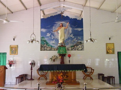
Ingiriya Church
A8, Ingiriya, Kalutara, LK Sri Lanka
contacts phone
:
+94
Latitude:
6.7428934
, Longitude:
80.1651067
larger map & directions
read more
nearest Church
258 m
Ingiriya Gospel Tabernacle
Panadura rd, 173/7 3rd Lane, Ingiriya
Church
read more
9.12 km
Jayabima Viharaya
Uduwa, Horana, Maragahena Road
Church
read more
10.692 km
JESUS LIVES SUB MINISTRY
226/c, Dagalgoda Landa Road, Bulathsinhala
Church
read more
10.792 km
jesus lives church
Bulathsinhala
Church
read more
10.939 km
St. Anthony's Church, Bulathsinhala
Bulathsinhala
Church
read more
13.072 km
Horana Galedandugoda Church
Horana
Church
read more
13.086 km
St Martin De Porres Church
Horana
Church
read more
14.118 km
MARGAYA CHURCH
Malwaththa Road, Padukka
Church
read more
14.151 km
St.Paul's Church
Sri Lanka
Church
read more
14.474 km
Jesus Loves You Church
Moragahahena, Kubukawaththa, Talagala
Church
read more
16.139 km
St Francis Xavier Church
Eheliyagoda
Church
read more
16.728 km
Kapilawasthu Viharaya
Gehenuwala
Church
read more
18.021 km
Calvary Church
293/1, Avissawella Road, Hanwella
Church
read more
18.042 km
Our Lady of Lourdes Church
Dikhethakma
Church
read more
19.133 km
St. Anthony's Church, Neluwaththuduwa.
Sri Lanka
Church
read more
19.789 km
Pahathgama Roman Catholic Church
Town, Hanwella
Church
read more
20.352 km
St. Michael's Church
Katuwana Road, B452, Homagama
Church
read more
21.177 km
Calvary Gospel Church
Parakaduwa
Church
read more
22.269 km
Sacred Heart of Jesus Church
Avissawella Road, Kosgama
Church
read more
23.803 km
Church of Christ Ukwatta
Avissawella
Church
read more
25.249 km
Kingdom Hall of Jehovah's Witnesses
Avissawella Road, Pannipitiya
Church
read more
25.65 km
Catholic Church
Kalutara
Church
read more
28.792 km
Methodist Church
Galle Road, Kalutara
Church
read more
29.121 km
New Covenant Life Centre
No: 269J Araliya Uyana,, Thalawathugoda Road, Sri Jayawardenepura Kotte
Church
read more
30.073 km
St Antony's Church
Sri Lanka
Church
read more
📑
all categories
Accounting
Administrative area level 1
Administrative area level 2
Airport
Amusement park
Aquarium
Art gallery
Atm
Bakery
Bank
Bar
Beauty salon
Bicycle store
Book store
Bowling alley
Bus station
Cafe
Campground
Car dealer
Car rental
Car repair
Car wash
Casino
Cemetery
Church
City hall
Clothing store
Colloquial area
Convenience store
Country
Courthouse
Dentist
Department store
Doctor
Electrician
Electronics store
Embassy
Finance
Fire station
Florist
Food
Funeral home
Furniture store
Gas station
General contractor
Grocery or supermarket
Gym
Hair care
Hardware store
Health
Hindu Temple
Home goods store
Hospital
Insurance agency
Intersection
Jewelry store
Laundry
Lawyer
Library
Light rail station
Liquor store
Local government office
Locality
Locksmith
Lodging
Meal delivery
Meal takeaway
Mosque
Movie rental
Movie theater
Moving company
Museum
Natural feature
Neighborhood
Night club
Painter
Park
Parking
Pet store
Pharmacy
Physiotherapist
Place of worship
Plumber
Point of interest
Police
Political
Post office
Premise
Real estate agency
Restaurant
Roofing contractor
Route
Rv park, camping
School
Shoe store
Shopping mall
Spa
Stadium
Storage
Store
Subpremise
Supermarket
Synagogue
Taxi stand
Train station
Transit station
Travel agency
University
Veterinary care
Zoo
administrative area level 3
sublocality level 1
sublocality level 2
↑