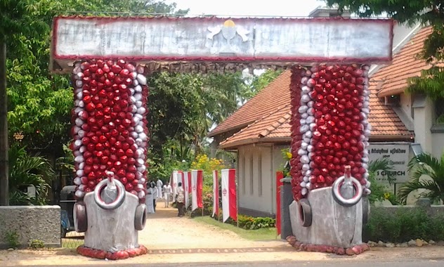
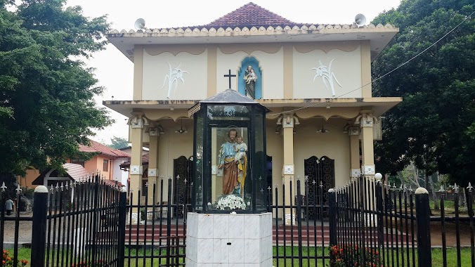
Church nearby Marada Madu Church Suduwalla
Sri Lanka
Church nearby Marada Madu Church Suduwalla
Marada Madu Church Suduwalla
Ja-Ela, Sri Lanka
contacts phone
:
+94
Latitude:
7.0838659
, Longitude:
79.8820746
larger map & directions
read more
nearest Church
953 m
St.Mary's Church
Thudella
Church
read more
954 m
St.Mary's Church
Ja-Ela
Church
read more
1.189 km
Ja-Ela SDA Church
Old Puttalam Road, Ja-Ela
Church
read more
1.288 km
St.Roches Church
Delathura
Church
read more
1.381 km
Gethsemane Church
Church
read more
1.547 km
St. Anthony's Church, Wahatiyagama
Wahatiyagama
Church
read more
1.548 km
St.Mark's Church
Dandugama, Negombo-Colombo Main Road
Church
read more
1.56 km
CPM Ja-ela
Ja-Ela
Church
read more
1.749 km
St. Joesph Church
Ja-Ela
Church
read more
1.749 km
St. Joesph ⛪
Ja-Ela
Church
read more
2.024 km
St. Anne Church
Ja-Ela
Church
read more
2.262 km
Maeliya Church
Ja-Ela
Church
read more
2.363 km
Egodawatta St.Anthony Church.
Ja-Ela
Church
read more
2.428 km
Holy Rosary Church
Dehiyagatha, A3
Church
read more
2.445 km
St. Clare's Church
Ja-Ela
Church
read more
2.634 km
St.Joachim's Church
KalaEliya Road, Ja-Ela
Church
read more
2.691 km
Christ The King Gospel Ministry
11350 No, 30. wellikurunduwatta kappuwatta Sri Lanka, Ja-Ela
Church
read more
2.84 km
St. Maria Goretti
Colombo - Katunayake Expressway, Seeduwa
Church
read more
2.852 km
Church of Our Lady of Fatima
Fatima Road, Ja-Ela
Church
read more
2.881 km
Calvary Centre House of Prayer
16 Station Rd Kapuwatte, Ja-Ela
Church
read more
2.906 km
Holy Cross Church
Maithree Mawatha
Church
read more
3.006 km
St. Philip Neri Church
Sri Lanka
Church
read more
3.006 km
St. Philip Neri's Church
St. Philip Neri Church, Udammita Road
Church
read more
3.275 km
St. Anthony's Church Batagama - බටගම සාන්ත අන්තෝනි දේවස්ථානය
Ja-Ela
Church
read more
3.508 km
Immaculate Heart of St.Mary's Church
Ja-Ela
Church
read more
📑
all categories
Accounting
Administrative area level 1
Administrative area level 2
Airport
Amusement park
Aquarium
Art gallery
Atm
Bakery
Bank
Bar
Beauty salon
Bicycle store
Book store
Bowling alley
Bus station
Cafe
Campground
Car dealer
Car rental
Car repair
Car wash
Casino
Cemetery
Church
City hall
Clothing store
Colloquial area
Convenience store
Country
Courthouse
Dentist
Department store
Doctor
Electrician
Electronics store
Embassy
Finance
Fire station
Florist
Food
Funeral home
Furniture store
Gas station
General contractor
Grocery or supermarket
Gym
Hair care
Hardware store
Health
Hindu Temple
Home goods store
Hospital
Insurance agency
Intersection
Jewelry store
Laundry
Lawyer
Library
Light rail station
Liquor store
Local government office
Locality
Locksmith
Lodging
Meal delivery
Meal takeaway
Mosque
Movie rental
Movie theater
Moving company
Museum
Natural feature
Neighborhood
Night club
Painter
Park
Parking
Pet store
Pharmacy
Physiotherapist
Place of worship
Plumber
Point of interest
Police
Political
Post office
Premise
Real estate agency
Restaurant
Roofing contractor
Route
Rv park, camping
School
Shoe store
Shopping mall
Spa
Stadium
Storage
Store
Subpremise
Supermarket
Synagogue
Taxi stand
Train station
Transit station
Travel agency
University
Veterinary care
Zoo
administrative area level 3
sublocality level 1
sublocality level 2
↑