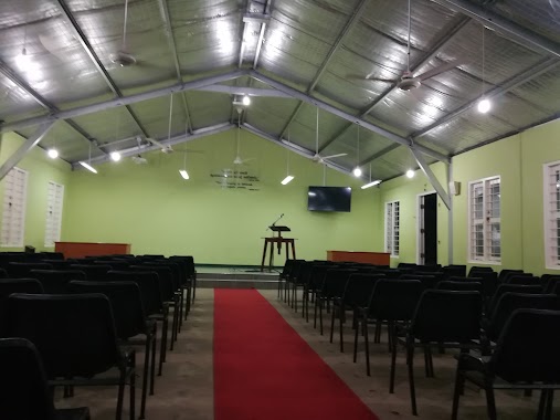
Church nearby Methodist Church
Sri Lanka
Church nearby Methodist Church
Methodist Church
Customs House Road, Negombo, Gampaha, LK Sri Lanka
contacts phone
:
+94 312 231 434
Latitude:
7.2094629
, Longitude:
79.8339739
larger map & directions
read more
nearest Church
252 m
St Stephen Church
Negombo
Church
read more
373 m
St. Mary's Church
Main Street, Negombo
Church
read more
645 m
Velankanni Church Negombo
Velankanni Church Saint Jude's Place Negombo
Church
read more
645 m
Madhu Church
Madhu Church Saint Jude's Place Negombo
Church
read more
659 m
St.Nicholas Church,Munnakkaraya
Munnakkaraya, St. Nicholas Road, Negombo
Church
read more
673 m
Mankuliya Church
Munnakkara
Church
read more
673 m
St. Anthony's Church Mankuliya
Mankuliya Church, Mankuliya Road, Negombo
Church
read more
682 m
Saint Jude's Church
Negombo
Church
read more
829 m
St. Peter's Church
Chilaw Road, Negombo
Church
read more
878 m
Good sheperd God Mission
163/6 Sea Street, Negombo
Church
read more
1.131 km
The Church of Jesus Christ of Latter-day Saints
Chilaw Road, Negombo
Church
read more
1.162 km
St. Sebastian's Church
Sea Street, Negombo
Church
read more
1.244 km
Kingdom Hall of Jehovah's Witnesses
negombo, sri lanka, Negombo
Church
read more
1.255 km
Our lady of good voyage church
Negombo
Church
read more
1.269 km
Penticost Church
Negombo
Church
read more
1.27 km
Ceylon pentecostal mission
Negombo
Church
read more
1.45 km
Seventh Day Adventist Church
347/2a Main Street, Negombo
Church
read more
1.533 km
Kadol Kale Church
Nilmala Maria Road, Negombo
Church
read more
1.634 km
Holy Cross Church
Negombo
Church
read more
1.664 km
Pitipanaveediya Church
Negombo
Church
read more
1.791 km
St Philip Neri's Church Thammita
Negombo
Church
read more
1.852 km
bethany church
216 Negombo-Mirigama Road, Negombo
Church
read more
1.951 km
Holy Sepulchre Church, Aluthwatte
Negombo
Church
read more
2.049 km
St. Marys Church
Pitipana, Negombo
Church
read more
2.106 km
Our Lady of Snows Church
Negombo
Church
read more
📑
all categories
Accounting
Administrative area level 1
Administrative area level 2
Airport
Amusement park
Aquarium
Art gallery
Atm
Bakery
Bank
Bar
Beauty salon
Bicycle store
Book store
Bowling alley
Bus station
Cafe
Campground
Car dealer
Car rental
Car repair
Car wash
Casino
Cemetery
Church
City hall
Clothing store
Colloquial area
Convenience store
Country
Courthouse
Dentist
Department store
Doctor
Electrician
Electronics store
Embassy
Finance
Fire station
Florist
Food
Funeral home
Furniture store
Gas station
General contractor
Grocery or supermarket
Gym
Hair care
Hardware store
Health
Hindu Temple
Home goods store
Hospital
Insurance agency
Intersection
Jewelry store
Laundry
Lawyer
Library
Light rail station
Liquor store
Local government office
Locality
Locksmith
Lodging
Meal delivery
Meal takeaway
Mosque
Movie rental
Movie theater
Moving company
Museum
Natural feature
Neighborhood
Night club
Painter
Park
Parking
Pet store
Pharmacy
Physiotherapist
Place of worship
Plumber
Point of interest
Police
Political
Post office
Premise
Real estate agency
Restaurant
Roofing contractor
Route
Rv park, camping
School
Shoe store
Shopping mall
Spa
Stadium
Storage
Store
Subpremise
Supermarket
Synagogue
Taxi stand
Train station
Transit station
Travel agency
University
Veterinary care
Zoo
administrative area level 3
sublocality level 1
sublocality level 2
↑