Church nearby Niwandama Church
Sri Lanka
Church nearby Niwandama Church
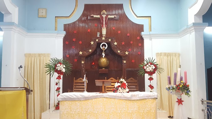
Niwandama Church
Ja-Ela, Sri Lanka
contacts phone
:
+94
Latitude:
7.089199
, Longitude:
79.9327901
larger map & directions
read more
nearest Church
10 m
Niwandama Saint Mary's Church
Ja-Ela
Church
read more
1.182 km
St.Helena Church
Yakkaduwa
Church
read more
1.404 km
Midellawita Church
Midellavita
Church
read more
1.539 km
Makewita Divine Saviour's Church
Church
read more
1.546 km
AOG Church Makevita
Sri Lanka
Church
read more
1.546 km
AOG Church Makevita
Makevita Sourth
Church
read more
1.616 km
Makewita Baptist Church
Ja Ela-Ekala-Gampaha-Yakkala Highway
Church
read more
1.646 km
Welikada Church
Welikada, Makewita
Church
read more
1.651 km
Church of The Virgin Of The Poor, Pollgahawatta
Polgahawatta, Ganemulla Polgahawatta, Ganemulla, Ja-Ela
Church
read more
2.405 km
Sacred Heart Church
Ganemulla Road, Ja-Ela
Church
read more
2.471 km
Immaculate Heart of St.Mary's Church
Ja-Ela
Church
read more
2.626 km
St maximillion kolbe church
Vishakawaththa 3rd Lane
Church
read more
2.635 km
Vishakawatta Church
Vishakawaththa 3rd Lane, Vishakawatta
Church
read more
2.82 km
St. Isidoru Church Thibbatugoda
Sri Lanka
Church
read more
2.828 km
St. Isidore Church
Ganemulla
Church
read more
3.219 km
St. Mattew's Church, Ekala
B111
Church
read more
3.222 km
St. Matthew's Church, Ekala
Gampaha
Church
read more
3.282 km
Madelgamuwa Sadasarana Kethalik Church
Gampaha
Church
read more
3.669 km
Holy Cross Church
Maithree Mawatha
Church
read more
3.716 km
Assebly Of God Church Ganemulla
206/A, Galahitiyawa Wata Road, Ganemulla
Church
read more
3.716 km
Assemblies Of God Church Ganemulla
206/A, 11020., Kadawatha - Ganemulla Road, Ganemulla
Church
read more
4.88 km
Polgahahena Infant Jesus Church
Boys Town Road, Ragama
Church
read more
5.596 km
Church of Our Lady of Fatima
Fatima Road, Ja-Ela
Church
read more
5.692 km
Christ The King Gospel Ministry
11350 No, 30. wellikurunduwatta kappuwatta Sri Lanka, Ja-Ela
Church
read more
6.693 km
Methodist Church
Seeduwa
Church
read more
📑
all categories
Accounting
Administrative area level 1
Administrative area level 2
Airport
Amusement park
Aquarium
Art gallery
Atm
Bakery
Bank
Bar
Beauty salon
Bicycle store
Book store
Bowling alley
Bus station
Cafe
Campground
Car dealer
Car rental
Car repair
Car wash
Casino
Cemetery
Church
City hall
Clothing store
Colloquial area
Convenience store
Country
Courthouse
Dentist
Department store
Doctor
Electrician
Electronics store
Embassy
Finance
Fire station
Florist
Food
Funeral home
Furniture store
Gas station
General contractor
Grocery or supermarket
Gym
Hair care
Hardware store
Health
Hindu Temple
Home goods store
Hospital
Insurance agency
Intersection
Jewelry store
Laundry
Lawyer
Library
Light rail station
Liquor store
Local government office
Locality
Locksmith
Lodging
Meal delivery
Meal takeaway
Mosque
Movie rental
Movie theater
Moving company
Museum
Natural feature
Neighborhood
Night club
Painter
Park
Parking
Pet store
Pharmacy
Physiotherapist
Place of worship
Plumber
Point of interest
Police
Political
Post office
Premise
Real estate agency
Restaurant
Roofing contractor
Route
Rv park, camping
School
Shoe store
Shopping mall
Spa
Stadium
Storage
Store
Subpremise
Supermarket
Synagogue
Taxi stand
Train station
Transit station
Travel agency
University
Veterinary care
Zoo
administrative area level 3
sublocality level 1
sublocality level 2
↑