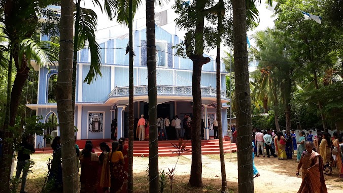
Church nearby Rainbow Church
Sri Lanka
Church nearby Rainbow Church
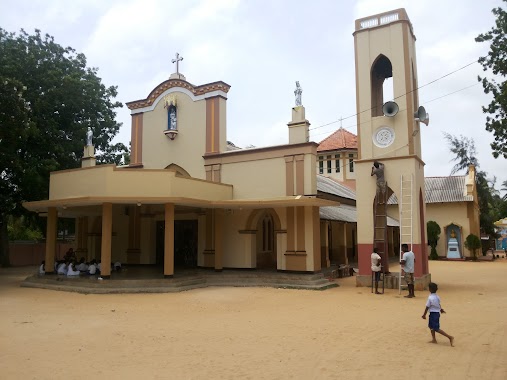
Rainbow Church
Singam lane, Uduvil, යාපනය, LK Sri Lanka
contacts phone
:
+94 77 711 0002
Latitude:
9.7331216
, Longitude:
80.0135511
larger map & directions
read more
nearest Church
229 m
Good Shpherd Church, Uduvil
Uduvil
Church
read more
352 m
Holy Family Church
Uduvil
Church
read more
680 m
St.Paul's Church
Uduvil
Church
read more
805 m
St. Joseph's Church, Alady
Alady, Uduvil-Manipay Rd, Uduvil Road, Uduvil
Church
read more
805 m
St. Joseph's Church, Alady
Alady, Uduvil-Manipay Rd, B268, Uduvil
Church
read more
1.935 km
Church of the American Ceylon Mission
AB17, Manipay
Church
read more
2.033 km
St. Anthony's Catholic Church
Puttur-Kantarodai Road, Chunnakam
Church
read more
2.04 km
ශාන්ත අන්තෝනි පල්ලිය
Puttur-Kantarodai Road, Chunnakam
Church
read more
2.505 km
Velankanni Matha Church
Sandilipay
Church
read more
2.566 km
St Antony's Shrine
Manipay
Church
read more
2.713 km
St Annes
Sri Lanka
Church
read more
2.713 km
St Anne's Church
St Annes, Jaffna-Manipay-Karainagar Road, Manipay
Church
read more
2.827 km
Ebenezer Prayer Church
Sri Lanka
Church
read more
3.288 km
Our Lady Of Miracles, Mallakam, Church Lane
Jaffna
Church
read more
3.288 km
Our Lady Of Miracles, Mallakam, Church Lane
Dżafna
Church
read more
3.411 km
CACM Navaly Church
Manipay
Church
read more
3.476 km
Small Thiresa
Sandilipay
Church
read more
3.579 km
Assembly of God - Kondavil
Kondavil
Church
read more
3.745 km
Navaly St.Peters Catholic Church
B230
Church
read more
3.746 km
St. Peter's Roman Catholic Church
Sri Lanka
Church
read more
3.816 km
Alaveddy CACM Church
Church
read more
3.926 km
Holy Immanuel Church
Palali Road, Urumpirai West
Church
read more
4.09 km
St Michael Church
Urumpirai east
Church
read more
4.302 km
Rhema Power Ministries
Rhema lane
Church
read more
5.881 km
St. Antony's Church, Pandatharippu
Pandatharippu
Church
read more
📑
all categories
Accounting
Administrative area level 1
Administrative area level 2
Airport
Amusement park
Aquarium
Art gallery
Atm
Bakery
Bank
Bar
Beauty salon
Bicycle store
Book store
Bowling alley
Bus station
Cafe
Campground
Car dealer
Car rental
Car repair
Car wash
Casino
Cemetery
Church
City hall
Clothing store
Colloquial area
Convenience store
Country
Courthouse
Dentist
Department store
Doctor
Electrician
Electronics store
Embassy
Finance
Fire station
Florist
Food
Funeral home
Furniture store
Gas station
General contractor
Grocery or supermarket
Gym
Hair care
Hardware store
Health
Hindu Temple
Home goods store
Hospital
Insurance agency
Intersection
Jewelry store
Laundry
Lawyer
Library
Light rail station
Liquor store
Local government office
Locality
Locksmith
Lodging
Meal delivery
Meal takeaway
Mosque
Movie rental
Movie theater
Moving company
Museum
Natural feature
Neighborhood
Night club
Painter
Park
Parking
Pet store
Pharmacy
Physiotherapist
Place of worship
Plumber
Point of interest
Police
Political
Post office
Premise
Real estate agency
Restaurant
Roofing contractor
Route
Rv park, camping
School
Shoe store
Shopping mall
Spa
Stadium
Storage
Store
Subpremise
Supermarket
Synagogue
Taxi stand
Train station
Transit station
Travel agency
University
Veterinary care
Zoo
administrative area level 3
sublocality level 1
sublocality level 2
↑