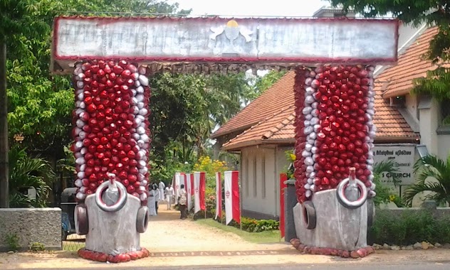
Church nearby St. Mary's church
Sri Lanka
Church nearby St. Mary's church
St. Mary's church
Croos Watta, Sri Lanka
contacts phone
:
+94
Latitude:
7.1128483
, Longitude:
79.90055
larger map & directions
read more
nearest Church
213 m
Rosa Mistica R. C. Church
Croos Watta 3rd Lane
Church
read more
1.037 km
St. Philip Neri Church
Sri Lanka
Church
read more
1.037 km
St. Philip Neri's Church
St. Philip Neri Church, Udammita Road
Church
read more
1.221 km
St. Matthew's Church, Ekala
Gampaha
Church
read more
1.225 km
St. Mattew's Church, Ekala
B111
Church
read more
1.304 km
Holy Cross Church
Maithree Mawatha
Church
read more
1.342 km
Alawathupitiya Church
Sri Lanka
Church
read more
1.756 km
Holy Rosary Church
Dehiyagatha, A3
Church
read more
1.973 km
Lanka Pentecostal Mission
Seeduwa
Church
read more
2.131 km
St. Cecilia Church
14/A Katunayake
Church
read more
2.14 km
Raddoluwa Methodist Church
Seeduwa
Church
read more
2.14 km
Methodist Church Raddoluwa
Seeduwa
Church
read more
2.301 km
St. Cajetan's Church
B111
Church
read more
2.361 km
St maximillion kolbe church
Vishakawaththa 3rd Lane
Church
read more
2.362 km
St.Mark's Church
Dandugama, Negombo-Colombo Main Road
Church
read more
2.362 km
Methodist Church
Seeduwa
Church
read more
2.365 km
Vishakawatta Church
Vishakawaththa 3rd Lane, Vishakawatta
Church
read more
2.432 km
Gethsemane Church
Church
read more
2.601 km
Immaculata Virgin Mary's Church Seeduwa
Sri Lanka, Kotugoda Road, Seeduwa
Church
read more
2.601 km
Immaculata Virgin Mary's Church Seeduwa
Sri Lanka, Kotugoda Rd, Seeduwa
Church
read more
2.922 km
St.Mary's Church
Ja-Ela
Church
read more
2.924 km
St. Maria Goretti
Colombo - Katunayake Expressway, Seeduwa
Church
read more
2.959 km
CPM Ja-ela
Ja-Ela
Church
read more
3.54 km
St.Helena Church
Yakkaduwa
Church
read more
3.612 km
Kingdom Hall of Jehovah’s Witnesses
Negombo
Church
read more
📑
all categories
Accounting
Administrative area level 1
Administrative area level 2
Airport
Amusement park
Aquarium
Art gallery
Atm
Bakery
Bank
Bar
Beauty salon
Bicycle store
Book store
Bowling alley
Bus station
Cafe
Campground
Car dealer
Car rental
Car repair
Car wash
Casino
Cemetery
Church
City hall
Clothing store
Colloquial area
Convenience store
Country
Courthouse
Dentist
Department store
Doctor
Electrician
Electronics store
Embassy
Finance
Fire station
Florist
Food
Funeral home
Furniture store
Gas station
General contractor
Grocery or supermarket
Gym
Hair care
Hardware store
Health
Hindu Temple
Home goods store
Hospital
Insurance agency
Intersection
Jewelry store
Laundry
Lawyer
Library
Light rail station
Liquor store
Local government office
Locality
Locksmith
Lodging
Meal delivery
Meal takeaway
Mosque
Movie rental
Movie theater
Moving company
Museum
Natural feature
Neighborhood
Night club
Painter
Park
Parking
Pet store
Pharmacy
Physiotherapist
Place of worship
Plumber
Point of interest
Police
Political
Post office
Premise
Real estate agency
Restaurant
Roofing contractor
Route
Rv park, camping
School
Shoe store
Shopping mall
Spa
Stadium
Storage
Store
Subpremise
Supermarket
Synagogue
Taxi stand
Train station
Transit station
Travel agency
University
Veterinary care
Zoo
administrative area level 3
sublocality level 1
sublocality level 2
↑