Food nearby CIC hatchery
Sri Lanka
Food nearby CIC hatchery
CIC hatchery
Gampaha, Sri Lanka
contacts phone
:
+94
website:
www.cicagri.com
Latitude:
7.2751187
, Longitude:
80.0442882
larger map & directions
read more
nearest Food
5.582 km
Lady Of Lourdes Poultry Breeding Farm
Badalgama
Food
read more
6.324 km
Delmo Chicken & Agro - Badalgama Farm
Badalgama Road, Makandura
Food
read more
6.499 km
FM farm
Kurunegala
Food
read more
6.97 km
Kandetiya Agro Products
Kurunegala
Food
read more
6.98 km
Kandetiya Agro Products
Makandura Industrial Zone, Kandetiya Road
Food
read more
8.914 km
ILONKA ILONKA
Negombo - Mirigama Road, Mirigama
Food
read more
9.588 km
Ranasinghe Bakers
Kurunegala
Food
read more
9.736 km
Ebagawa Estate Fruit Corridor
Pasyala - Giriulla Road, Veyangoda
Food
read more
9.879 km
Aussee Oats Milling Pvt Ltd
Sri Lanka
Food
read more
10.661 km
GIRIULLA STORES
Kurunegala Road, Giriulla
Food
read more
10.753 km
max Mobile giriulla
bus stand, #07 1st floor, Giriulla
Food
read more
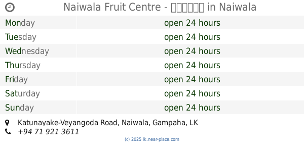
13.035 km
Naiwala Fruit Centre - පලතුරු
Katunayake-Veyangoda Road, Naiwala
Food
read more
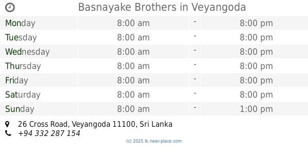
13.511 km
Basnayake Brothers
26 Cross Road, Veyangoda
Food
read more
13.534 km
Singhagiri Stores
Veyangoda-Keenawala Road, Veyangoda
Food
read more
13.721 km
Ranji Vegetables
Veyangoda
Food
read more
13.88 km
Waguruwela Oil Mills (Pvt) Ltd
waguruwela
Food
read more
14.029 km
Bolankanda Farm
A1, Kajugama
Food
read more
14.503 km
Maxies Integrated Livestock Farm
Dankotuwa-Hettirrippuwa Road, Bujjampola
Food
read more
14.899 km
Janatha sweets
no 57,Madabavita,Danovita
Food
read more
15.227 km
kanchana Storse
31 A, 31 A B225
Food
read more
15.631 km
Juizz Bar
Nittambuwa
Food
read more
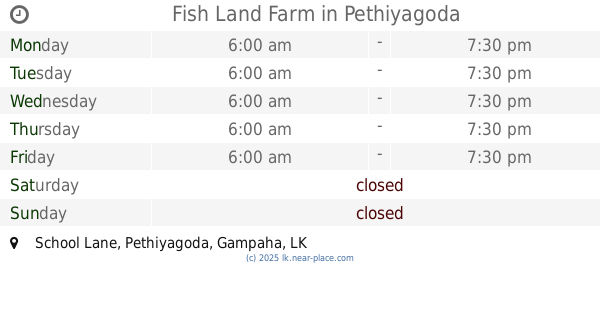
15.657 km
Fish Land Farm
School Lane, Pethiyagoda
Food
read more
16.112 km
Supipi Industries
Horagasmankada,Danowita, A1, Horagasmankada
Food
read more
18.403 km
Produce of Paradise (pvt.) Ltd
139 Polwaththa Road, Kalahugoda, Minuangoda
Food
read more
18.406 km
Produce of Paradise (pvt.) Ltd
Sri Lanka
Food
read more
📑
all categories
Accounting
Administrative area level 1
Administrative area level 2
Airport
Amusement park
Aquarium
Art gallery
Atm
Bakery
Bank
Bar
Beauty salon
Bicycle store
Book store
Bowling alley
Bus station
Cafe
Campground
Car dealer
Car rental
Car repair
Car wash
Casino
Cemetery
Church
City hall
Clothing store
Colloquial area
Convenience store
Country
Courthouse
Dentist
Department store
Doctor
Electrician
Electronics store
Embassy
Finance
Fire station
Florist
Food
Funeral home
Furniture store
Gas station
General contractor
Grocery or supermarket
Gym
Hair care
Hardware store
Health
Hindu Temple
Home goods store
Hospital
Insurance agency
Intersection
Jewelry store
Laundry
Lawyer
Library
Light rail station
Liquor store
Local government office
Locality
Locksmith
Lodging
Meal delivery
Meal takeaway
Mosque
Movie rental
Movie theater
Moving company
Museum
Natural feature
Neighborhood
Night club
Painter
Park
Parking
Pet store
Pharmacy
Physiotherapist
Place of worship
Plumber
Point of interest
Police
Political
Post office
Premise
Real estate agency
Restaurant
Roofing contractor
Route
Rv park, camping
School
Shoe store
Shopping mall
Spa
Stadium
Storage
Store
Subpremise
Supermarket
Synagogue
Taxi stand
Train station
Transit station
Travel agency
University
Veterinary care
Zoo
administrative area level 3
sublocality level 1
sublocality level 2
↑