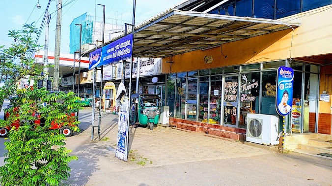
Food nearby Co-op City Mahara
Sri Lanka
Food nearby Co-op City Mahara
Co-op City Mahara
A1, Kadawatha, Gampaha, LK Sri Lanka
contacts phone
:
+94
Latitude:
6.9911657
, Longitude:
79.9401673
larger map & directions
read more
nearest Food
828 m
Juice Planet
Pahala Biyanvila Central, Kadawatha
Food
read more
828 m
Juice Planet
බස්නාහිර, පළාත, Kadawatha
Food
read more
1.389 km
Rose Garden Reception Hall
B13, Kadawatha
Food
read more
1.404 km
cargills food city
Colombo - Kandy Road, Kiribathgoda
Food
read more
1.654 km
Sandasiri Stores
National Housing Scheme, Kiribathgoda
Food
read more
1.655 km
Tharinda Grocery
Mankada Road, Kadawatha
Food
read more
1.714 km
Dayananda Bakery
Sri Lanka
Food
read more
1.751 km
Athula Caterers (Pvt) Ltd.
Jayasinghe Mawatha, Kadawatha
Food
read more
1.805 km
New Ruhunu Sweet Trade Center
National Housing Scheme, Kiribathgoda
Food
read more
1.966 km
Senul Foods
Kadawatha
Food
read more
2.01 km
Lak-Pro (Pvt) Ltd
74/6 Makola Road, Kiribathgoda
Food
read more
2.014 km
Mihira Cool House
Makola Road, Kiribathgoda
Food
read more
2.037 km
IDEAZ & Co.
Gampaha
Food
read more
2.156 km
Samanmaali Stores
John Keells Road, Wattala
Food
read more
2.231 km
Anuththara Stores
Makola South, 240, makola
Food
read more
2.237 km
Fresheta
Ihala Biyanvila North, Kadawatha
Food
read more
2.318 km
Yuli Nanda's Kitchen
Sri Lanka
Food
read more
2.318 km
Yuli Nanda's Kitchen
Eriyawetiya
Food
read more
2.499 km
Samanmali Food Center
613 Makola - Udupila Road, Gonawala
Food
read more
2.513 km
Future Green Organic
No82/1B, Kandy Road, Kiribathgoda
Food
read more
2.883 km
Achalaka Stores
Makola, South
Food
read more
2.95 km
Munchee Agency, Kelaniya
Gonawala East, Peliyagoda
Food
read more
3.056 km
PTR පොල් කඩේ
Koholvila
Food
read more
3.071 km
Indika Enterprises
Gonawala, Road, Kelaniya
Food
read more
3.452 km
Base Canteen
Physical Training School Road
Food
read more
📑
all categories
Accounting
Administrative area level 1
Administrative area level 2
Airport
Amusement park
Aquarium
Art gallery
Atm
Bakery
Bank
Bar
Beauty salon
Bicycle store
Book store
Bowling alley
Bus station
Cafe
Campground
Car dealer
Car rental
Car repair
Car wash
Casino
Cemetery
Church
City hall
Clothing store
Colloquial area
Convenience store
Country
Courthouse
Dentist
Department store
Doctor
Electrician
Electronics store
Embassy
Finance
Fire station
Florist
Food
Funeral home
Furniture store
Gas station
General contractor
Grocery or supermarket
Gym
Hair care
Hardware store
Health
Hindu Temple
Home goods store
Hospital
Insurance agency
Intersection
Jewelry store
Laundry
Lawyer
Library
Light rail station
Liquor store
Local government office
Locality
Locksmith
Lodging
Meal delivery
Meal takeaway
Mosque
Movie rental
Movie theater
Moving company
Museum
Natural feature
Neighborhood
Night club
Painter
Park
Parking
Pet store
Pharmacy
Physiotherapist
Place of worship
Plumber
Point of interest
Police
Political
Post office
Premise
Real estate agency
Restaurant
Roofing contractor
Route
Rv park, camping
School
Shoe store
Shopping mall
Spa
Stadium
Storage
Store
Subpremise
Supermarket
Synagogue
Taxi stand
Train station
Transit station
Travel agency
University
Veterinary care
Zoo
administrative area level 3
sublocality level 1
sublocality level 2
↑