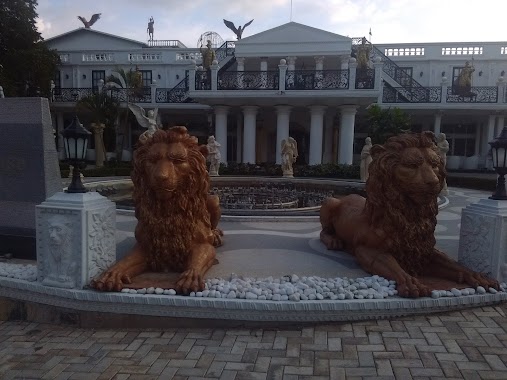
Food nearby Harees Aladin Farm Hous
Sri Lanka
Food nearby Harees Aladin Farm Hous
Harees Aladin Farm Hous
Nugadeniya-Amunugam Rd, Nugadeniya, Kandy, LK Sri Lanka
contacts phone
:
+94
Latitude:
7.3094879
, Longitude:
80.6764591
larger map & directions
read more
nearest Food
431 m
Isuru Caterers
Gedarawatta Road, Pilawala
Food
read more
1.668 km
Kalana Product
Jambugahapitiya - Pallethalawinna Road, Jambugahapitiya
Food
read more
2.044 km
New Udadumbara Stores
Madawala
Food
read more
2.071 km
maxxaa fruit shop
Madawala
Food
read more
2.092 km
Farhan Stores
Madawala
Food
read more
2.113 km
A. M. S. Traders
Madawala
Food
read more
2.309 km
Kalyani Papadam Maker & Shop
47 Polambakotuwa Hurikaduwa Menikhinna, Madawala - Rajawella Road, Jambugahapitiya
Food
read more
2.417 km
Haira Farms (PVT) Ltd
Mosque Road, Madawala
Food
read more
2.566 km
Hela Bojun food stalls
Katugastota - Madawala - Bambarella Road
Food
read more
2.738 km
Sunil Food Products
Madawala - Rajawella Road, Menikhinna
Food
read more
3.281 km
Asiri Caters
Galmaduwatta Road, Nattarampota
Food
read more
4.663 km
Barbican Cool Spot
E, 6 East L Senanayake Veediya, Kandy
Food
read more
4.69 km
Herath Fresh Fruit
Katugastota
Food
read more
4.693 km
Mihiri Foods
100 Colombo Street, Kandy
Food
read more
4.723 km
Royal Food Court
UDF, Katugastota
Food
read more
4.737 km
Spice Food Court
30 Sri Dalada Veediya, Kandy
Food
read more
4.74 km
Leaf Products Lanka (Pvt) Ltd.
Wattegama
Food
read more
4.778 km
Smiley Fruits
56 Yatinuwara Veediya, Kandy
Food
read more
4.803 km
Indika Bakers
Ampitiya
Food
read more
4.853 km
Yoosufia Eating House
Yatinuwara Lane, Kandy
Food
read more
4.855 km
URM Traders
Kandy
Food
read more
4.881 km
Muslim Hotel (Kandyan Muslim Hotel (Pvt) Ltd
Sri Dalada Veediya, Kandy
Food
read more
5.205 km
Cool Mood
39,A Peradeniya Road, Kandy
Food
read more
5.214 km
Devi Stores And Grocery
Unnamed Road, Pallekele
Food
read more
6.665 km
Hantane Estate Kandy
Food
read more
📑
all categories
Accounting
Administrative area level 1
Administrative area level 2
Airport
Amusement park
Aquarium
Art gallery
Atm
Bakery
Bank
Bar
Beauty salon
Bicycle store
Book store
Bowling alley
Bus station
Cafe
Campground
Car dealer
Car rental
Car repair
Car wash
Casino
Cemetery
Church
City hall
Clothing store
Colloquial area
Convenience store
Country
Courthouse
Dentist
Department store
Doctor
Electrician
Electronics store
Embassy
Finance
Fire station
Florist
Food
Funeral home
Furniture store
Gas station
General contractor
Grocery or supermarket
Gym
Hair care
Hardware store
Health
Hindu Temple
Home goods store
Hospital
Insurance agency
Intersection
Jewelry store
Laundry
Lawyer
Library
Light rail station
Liquor store
Local government office
Locality
Locksmith
Lodging
Meal delivery
Meal takeaway
Mosque
Movie rental
Movie theater
Moving company
Museum
Natural feature
Neighborhood
Night club
Painter
Park
Parking
Pet store
Pharmacy
Physiotherapist
Place of worship
Plumber
Point of interest
Police
Political
Post office
Premise
Real estate agency
Restaurant
Roofing contractor
Route
Rv park, camping
School
Shoe store
Shopping mall
Spa
Stadium
Storage
Store
Subpremise
Supermarket
Synagogue
Taxi stand
Train station
Transit station
Travel agency
University
Veterinary care
Zoo
administrative area level 3
sublocality level 1
sublocality level 2
↑