Food nearby World of Juice
Sri Lanka
Food nearby World of Juice
World of Juice
51 Main St, Batticaloa, Batticaloa, LK Sri Lanka
contacts phone
:
+94
Latitude:
7.713628
, Longitude:
81.6973635
larger map & directions
read more
nearest Food
50 m
Mars Traders
Puliyanthivu Central, Batticaloa
Food
read more
162 m
New Shafy And Sons
36 38 amen corner, மட்டக்களப்பு
Food
read more
201 m
New Milk Bar
Puliyanthivu East, Batticaloa
Food
read more
802 m
J & SSPR Brothers Grocery Store(Thandavanveli Branch)
Trinco Road, Batticaloa
Food
read more
1.13 km
REO Snack Spot
Batticaloa
Food
read more
1.354 km
DDL Market
Lake Road No 2, Batticaloa
Food
read more
1.403 km
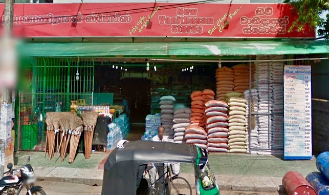
New Vanithasan Stores
Kallady
Food
read more
1.425 km
L.R.V Stores
Batticaloa
Food
read more
1.568 km
J & SSPR Brothers Grocery Store
Saravana Road, Kallady
Food
read more
2.199 km
Theepan Stores
Batticaloa
Food
read more
2.336 km
Ganesh store
101/1 Mamangam 4th Cross Road, Batticaloa
Food
read more
2.794 km
JC Catering Services Batticaloa
88/95, Navalar Road,, Karuvappenkerney, Batticaloa
Food
read more
3.121 km
J & SSPR Brothers Greengrocer's Shop (Thandavanveli Branch)
Trincomalee Highway, Batticaloa
Food
read more
3.144 km
Siniethambie's Fishing Hut
Navalady Road, Batticaloa
Food
read more
3.779 km
Poo Nochimunai Fishery Harbour
Poonochimunai Road, Kallady
Food
read more
4.205 km
Ibrahim Grocery
Kattankudy
Food
read more
4.304 km
Poonochimunai Fisheries
Kattankudy
Food
read more
4.383 km
Rauf Stores
Kattankudy
Food
read more
4.699 km
Latheeff Stores
234/3, Farm Road, New Kattankudy
Food
read more
5.314 km
Bfc
Kattankudy
Food
read more
6.374 km
Maruthi Trading Group
Sri Lanka
Food
read more
8.78 km
அம்பாள் அரிசி ஆலை
30153, Thalankudah
Food
read more
12.088 km
Riyasa Cafe
Makkah madi Road, Eravur
Food
read more
12.522 km
Buhary grinding mill
Town, Eravur
Food
read more
12.735 km
THAJ FOOD CITY
Eravur
Food
read more
📑
all categories
Accounting
Administrative area level 1
Administrative area level 2
Airport
Amusement park
Aquarium
Art gallery
Atm
Bakery
Bank
Bar
Beauty salon
Bicycle store
Book store
Bowling alley
Bus station
Cafe
Campground
Car dealer
Car rental
Car repair
Car wash
Casino
Cemetery
Church
City hall
Clothing store
Colloquial area
Convenience store
Country
Courthouse
Dentist
Department store
Doctor
Electrician
Electronics store
Embassy
Finance
Fire station
Florist
Food
Funeral home
Furniture store
Gas station
General contractor
Grocery or supermarket
Gym
Hair care
Hardware store
Health
Hindu Temple
Home goods store
Hospital
Insurance agency
Intersection
Jewelry store
Laundry
Lawyer
Library
Light rail station
Liquor store
Local government office
Locality
Locksmith
Lodging
Meal delivery
Meal takeaway
Mosque
Movie rental
Movie theater
Moving company
Museum
Natural feature
Neighborhood
Night club
Painter
Park
Parking
Pet store
Pharmacy
Physiotherapist
Place of worship
Plumber
Point of interest
Police
Political
Post office
Premise
Real estate agency
Restaurant
Roofing contractor
Route
Rv park, camping
School
Shoe store
Shopping mall
Spa
Stadium
Storage
Store
Subpremise
Supermarket
Synagogue
Taxi stand
Train station
Transit station
Travel agency
University
Veterinary care
Zoo
administrative area level 3
sublocality level 1
sublocality level 2
↑