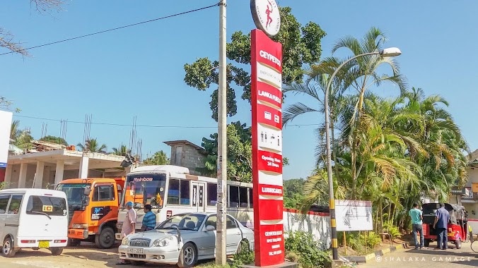
Gas station nearby Dehiattakandiya Petrol Stand
Coronavirus disease (COVID-19) Situation
confirmed cases
672754
deaths
16897
Sri Lanka
Gas station nearby Dehiattakandiya Petrol Stand
Dehiattakandiya Petrol Stand
Dehiattakandiya Sri Lanka
contacts phone
:
+94
Latitude:
7.671045
, Longitude:
81.0412645
read more
nearest Gas station
6.755 km
Siripura Petrol Shed
AB44, Siripura
Gas station
read more
11.178 km
Lanka Petrol Station
112 AB44, Nawa Madagama
Gas station
read more
11.195 km
Nawamedagama Petrol Shed
112 Mahiyangane-Dimbulagala-Dalukkane Highway, Nawa Madagama
Gas station
read more
19.929 km
Fuel Station
Aralaganwila
Gas station
read more
20.168 km
Kasun Enterprises Filling Station
Wilgamuwa Hospital, Hettipola
Gas station
read more
21.963 km
Ceypetco Filling Station
Mahiyangane-Dimbulagala-Dalukkane Highway
Gas station
read more
27.593 km
Bakamuna Cooperative Fuel Station
Giritale Road, Bakamuna
Gas station
read more
37.547 km
Yashoda Filling Station
Padiyatalawa
Gas station
read more
42.893 km
Lakruka Filling Station
Naula
Gas station
read more
43.012 km
Co-operative Filling Station
6th Mile post, Hingurakdamana, Hingurakgoda
Gas station
read more
48.048 km
UDESH FILLING STATION
Palapathwela
Gas station
read more
48.33 km
Lanka IOC Imthiyas
Dambulla
Gas station
read more
49.709 km
Ceypetco Gas Station
Dambulla
Gas station
read more
50.8 km
Ceypetco Petrol Shed
Kandy-Jaffna Highway, Matale
Gas station
read more
51.687 km
Lanka Filling Station
Habarana Roundabout, Habarana
Gas station
read more
53.392 km
Fueling Station
Digana
Gas station
read more
55.737 km
Co-op Alawatugoda
Alawatugoda
Gas station
read more
55.754 km
Lanka Filling Station MPCS
Alawatugoda
Gas station
read more
55.816 km
Fuel Station
Sirimalwatta - Amunugama - Madawala Road, Madawala
Gas station
read more
58.221 km
Lanka IOC
Ambatenna
Gas station
read more
59.101 km
Ceylon Petroleum Corporation
Nattarampota
Gas station
read more
59.819 km
Tannekumbura Fuel Station
Tennekumbura
Gas station
read more
59.879 km
W A Perera and Son Dealer Lanka I.O.C
no 362, Katugastota Road, Kandy
Gas station
read more
60.554 km
Co-Operative Filling Station
Thalathuoya
Gas station
read more
66.25 km
Petrol Shed Gannoruwa
Gas station
read more
📑
all categories
Accounting
Administrative area level 1
Administrative area level 2
Airport
Amusement park
Aquarium
Art gallery
Atm
Bakery
Bank
Bar
Beauty salon
Bicycle store
Book store
Bowling alley
Bus station
Cafe
Campground
Car dealer
Car rental
Car repair
Car wash
Casino
Cemetery
Church
City hall
Clothing store
Colloquial area
Convenience store
Country
Courthouse
Dentist
Department store
Doctor
Electrician
Electronics store
Embassy
Finance
Fire station
Florist
Food
Funeral home
Furniture store
Gas station
General contractor
Grocery or supermarket
Gym
Hair care
Hardware store
Health
Hindu Temple
Home goods store
Hospital
Insurance agency
Intersection
Jewelry store
Laundry
Lawyer
Library
Light rail station
Liquor store
Local government office
Locality
Locksmith
Lodging
Meal delivery
Meal takeaway
Mosque
Movie rental
Movie theater
Moving company
Museum
Natural feature
Neighborhood
Night club
Painter
Park
Parking
Pet store
Pharmacy
Physiotherapist
Place of worship
Plumber
Point of interest
Police
Political
Post office
Premise
Real estate agency
Restaurant
Roofing contractor
Route
Rv park, camping
School
Shoe store
Shopping mall
Spa
Stadium
Storage
Store
Subpremise
Supermarket
Synagogue
Taxi stand
Train station
Transit station
Travel agency
University
Veterinary care
Zoo
administrative area level 3
sublocality level 1
sublocality level 2
↑